Hotchkiss in Delta County, Colorado — The American Mountains (Southwest)
West Elk Loop
Scenic and Historic Byway
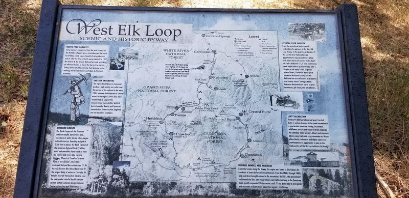
Early pioneers recognized that the mild climate of the Hotchkiss/Paonia area, also known as the North Fork Valley, could support quality fruit production, and in 1882 the first orchards were planted. In 1902 the Denver & Rio Grande Railroad arrived, providing an efficient means to move the harvest to market. Today, cattle ranching, mining, fruit growing, wine, making, and area artisans contribute to the local economy.
Earthen Endeavours
The region from Paonia to Somerset produces high quality, low-sulfur coal. The arrival of the railroad in the early 1900s enabled development of several mines in the region. Towns also were established to support the miners - Bowie (named after Scottish born Alexander Bowie) and Somerset (named after Somersetshire, England) are two excellent examples.
Awesome Gorges
The Black Canyon of the Gunnison combines depth, narrowness and, sheerness of walls like no other canyon in North America. Reaching a depth of 2,700 feet in places, the Black Canyon of the Gunnison National Park offers trails and overlooks from which to view the canyon and river. Take curving Highway 92 east of Crawford to drive more of the canyon's rim within Curecanti National Recreation Area. At its end, discover Blue Mesa Reservoir, the largest body of water in Colorado. Hit the dirt road off the beaten track to view the spectacular colorful double canyon system within Gunnison Gorge National Conservation Area and Wilderness.
Crystal River Saunter
From the agricultural lands around Carbondale, the gateway to the West Elk Loop Byway, to the quarries of Marble, the Crystal River Valley offers an opportunity to enjoy area history along with heavy doses of scenery. In the heart of it all is Redstone , a once coal mining town made famous by industrialist John C. Osgood in the early 1900s. Osgood's palatial home, Cleveholm Manor (also known as Redstone Castle), and the Redstone Inn cast reflections of a bygone era. Former miners' cottages along Redstone Boulevard now serve as area residences, gift shops, and art galleries.
Lofty Recreation
At about 9,000 feet above sea level, Crested Butte is a place to enjoy history and recreation in a spectacular mountain setting. In summer, wildflower, artisan and music festivals highlight the calendar, while campers, hikers and mountain, bikers enjoy trails and crisp, mountain air. Winter offers Nordic, telemark, and alpine skiers and snowboarders an opportunity to play in the backcountry of the Mt. Crested Butte Ski Area.
Erected by Colorado Department of Transportation and Scenic Byways.
Topics. This historical marker
is listed in these topic lists: Entertainment • Industry & Commerce • Railroads & Streetcars • Roads & Vehicles. A significant historical year for this entry is 1882.
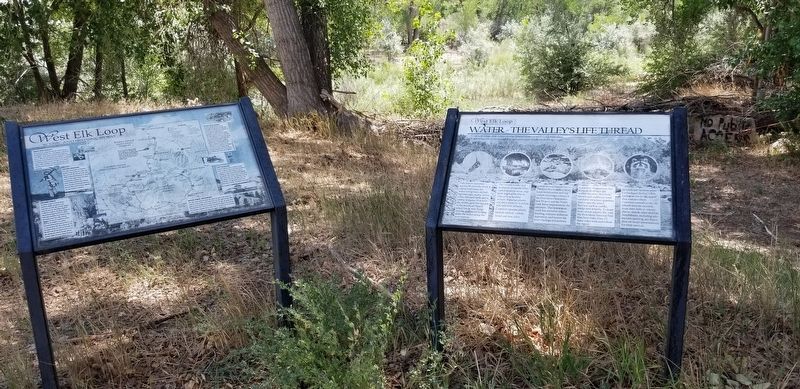
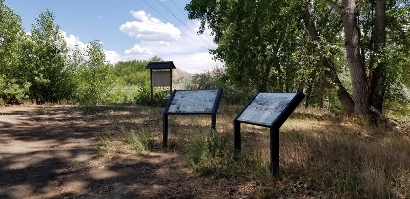
Location. 38° 47.788′ N, 107° 42.677′ W. Marker is in Hotchkiss, Colorado, in Delta County. Marker is at the intersection of County Highway 92 and Doc Maloney Way, on the right when traveling south on County Highway 92. The marker is located at a small roadside park next to the North Fork Gunnison River. Touch for map. Marker is in this post office area: Hotchkiss CO 81419, United States of America. Touch for directions.
Credits. This page was last revised on November 28, 2021. It was originally submitted on November 28, 2021, by James Hulse of Medina, Texas. This page has been viewed 151 times since then and 8 times this year. Photos: 1, 2, 3. submitted on November 28, 2021, by James Hulse of Medina, Texas.


