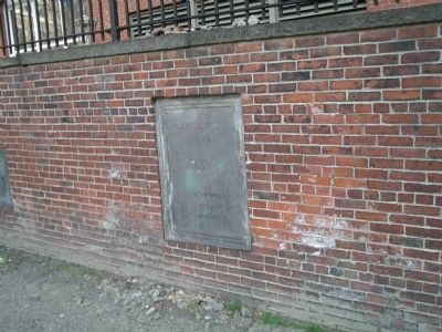
Downtown in Boston in Suffolk County, Massachusetts — The American Northeast (New England)
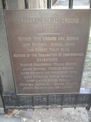
Granary Burying Ground
1660
Topics and series. This historical marker is listed in these topic lists: Cemeteries & Burial Sites • Colonial Era. In addition, it is included in the Signers of the Declaration of Independence series list.
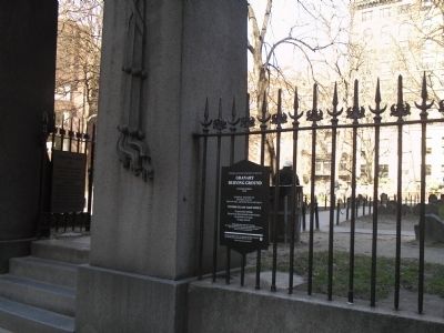
Location. 42° 21.434′ N, 71° 3.679′ W. Marker is in Boston, Massachusetts, in Suffolk County. It is in Downtown. Marker is at the intersection of Tremont Street and Bromfield Street, on the left when traveling north on Tremont Street. Marker is located at the entrance to the Granary Burying Ground. Touch for map. Marker is in this post office area: Boston MA 02108, United States of America. Touch for directions.
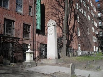
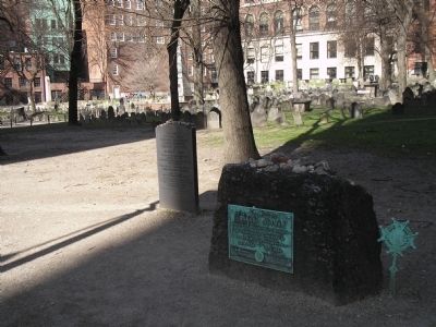
Other nearby markers. At least 8 other markers are within walking distance of this marker. Granary Burial Ground (here, next to this marker); John Phillips (here, next to this marker); Paul Revere Buried in this Ground (here, next to this marker); John Smibert (here, next to this marker); Victims of the Boston Massacre (a few steps from this marker); Samuel Adams (a few steps from this marker); James Otis (within shouting distance of this marker); Josiah and Abiah Franklin (within shouting distance of this marker). Touch for a list and map of all markers in Boston.
Related markers. Click here for a list of markers that are related to this marker. Take a tour of the markers found along the walking trail in Boston’s Granary Burying Ground.
Also see . . . Granary Burying Ground. Details of the Freedom Trail from the City of Boston website. (Submitted on May 7, 2009, by Bill Coughlin of Woodland Park, New Jersey.)
Credits. This page was last revised on January 30, 2023. It was originally submitted on May 7, 2009, by Bill Coughlin of Woodland Park, New Jersey. This page has been viewed 1,697 times since then and 31 times this year. Photos: 1, 2, 3, 4, 5. submitted on May 7, 2009, by Bill Coughlin of Woodland Park, New Jersey.
