League City in Galveston County, Texas — The American South (West South Central)
League Park
A Texas Sesquicentennial Project
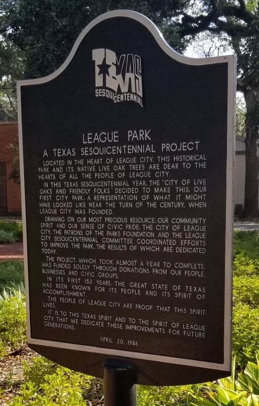
Photographed by James Hulse, August 14, 2021
1. League Park Marker
Erected 1986 by League City.
Topics. This historical marker is listed in this topic list: Parks & Recreational Areas.
Location. 29° 30.625′ N, 95° 5.494′ W. Marker is in League City, Texas, in Galveston County. It is at the intersection of Main Street (Farm to Market Road 518) and North Park Avenue on Main Street. The marker is located at the southeastern section of the park near the gazebo. Touch for map. Marker is in this post office area: League City TX 77573, United States of America. Touch for directions.

Regionally, this marker is in the Houston Metropolitan Area. It is also in the American South and on the Gulf Coast. Globally, it is in North America, a Gulf
this page online
Other nearby markers. At least 8 other markers are within walking distance of this marker: A different marker also named League Park (a few steps from this marker); Cypress Timbers (about 400 feet away, measured in a direct line); St. Mary Mission Church (about 600 feet away); Mainland Mission Churches (about 600 feet away); First Baptist Church (approx. 0.2 miles away); T.J. and Mary Lelia Dick House (approx. 0.2 miles away); Japanese Settlers of Webster (approx. 0.6 miles away); Fairview Cemetery (approx. 0.6 miles away). Touch for a list and map of all markers in League City.
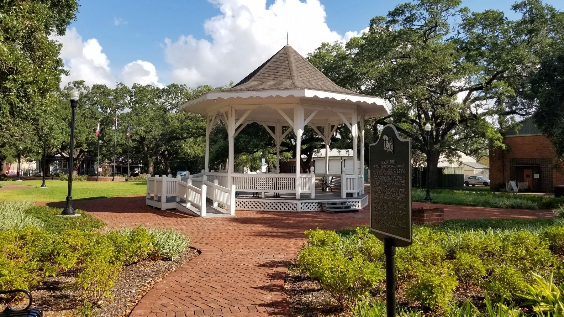
Photographed by James Hulse, August 14, 2021
2. The view of the League Park Marker from the park
Credits. This page was last revised on November 30, 2021. It was originally submitted on November 30, 2021, by James Hulse of Medina, Texas. This page has been viewed 395 times since then and 24 times this year. Photos: 1, 2. submitted on November 30, 2021, by James Hulse of Medina, Texas.
