San Leon in Galveston County, Texas — The American South (West South Central)
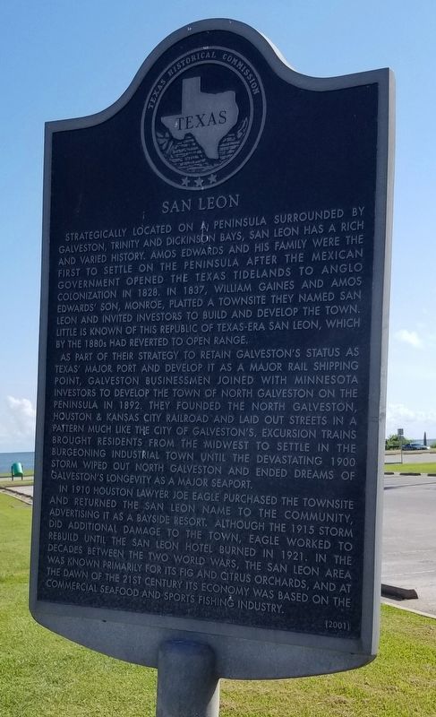
San Leon
As part of their strategy to retain Galveston's status as Texas' major port and develop it as a major rail shipping point, Galveston businessmen joined with Minnesota investors to develop the town of North Galveston on the peninsula in 1892. They founded the North Galveston, Houston & Kansas City Railroad and laid out streets in a pattern much like the city of Galveston's. Excursion trains brought residents from the midwest to settle in the burgeoning industrial town until the devastating 1900 storm wiped out North Galveston and ended dreams of Galveston's longevity as a major seaport.
In 1910 Houston lawyer Joe Eagle purchased the townsite and returned the San Leon name to the community, advertising it as a bayside resort. Although the 1915 storm did additional damage to the town, Eagle worked to rebuild until the San Leon hotel burned in 1921. In the decades between the two World Wars, the San Leon area was known primarily for its fig and citrus orchards, and at the dawn of the 21st century its economy was based on the commercial seafood and sports fishing industry.
Erected 2001 by Texas Historical Commission. (Marker Number 12494.)
Topics. This historical marker is listed in these topic lists: Disasters • Industry & Commerce • Parks & Recreational Areas • Settlements & Settlers. A significant historical year for this entry is 1828.
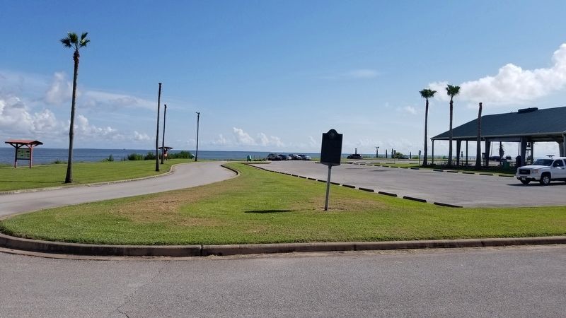
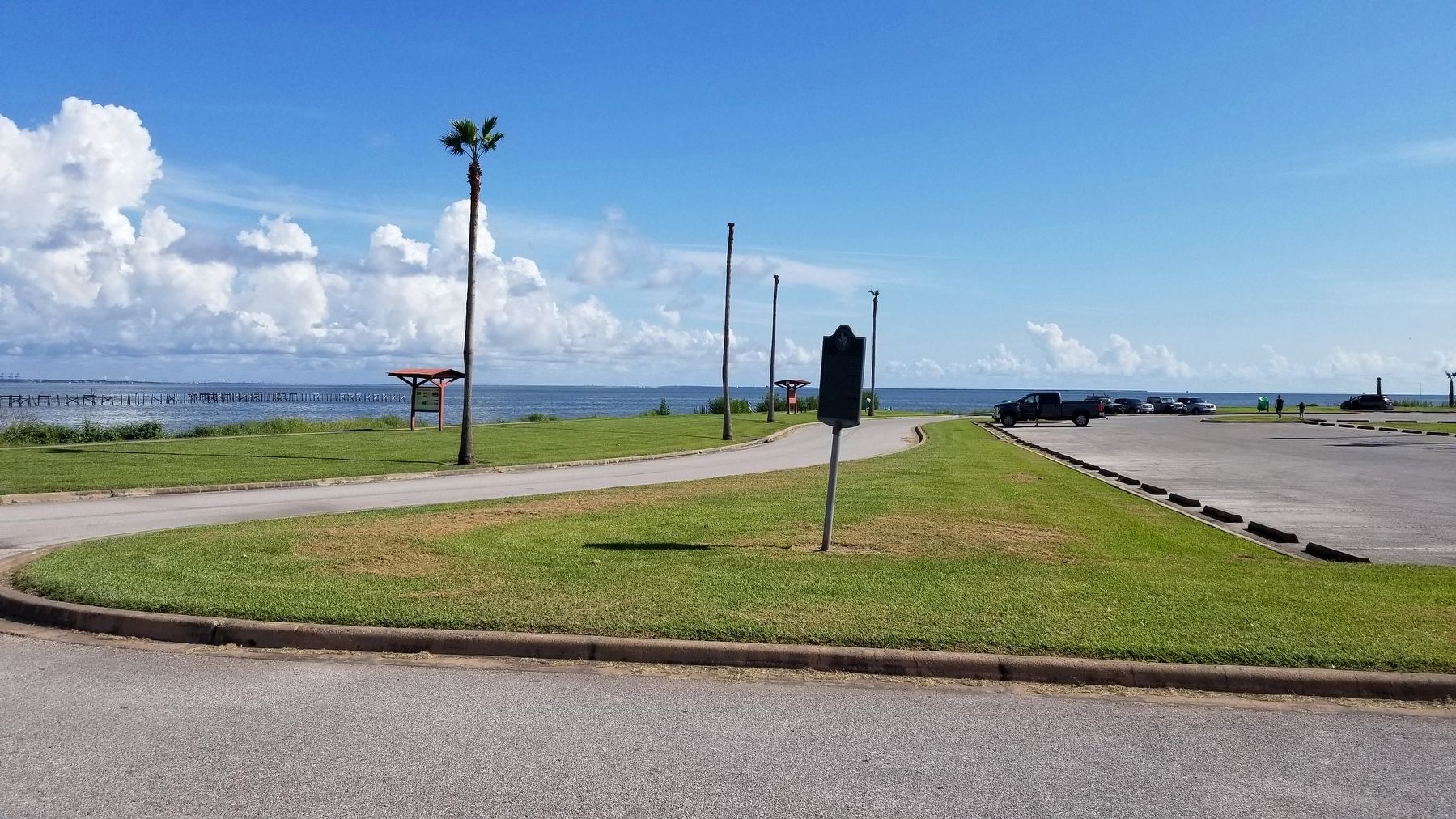
Location. 29° 30.322′ N, 94° 57.495′ W. Marker is in San Leon, Texas, in Galveston County. Marker is at the intersection of East Bay Shore Drive (Farm to Market Road 646) and Park Road, on the left when traveling east on East Bay Shore Drive. The marker is located at the entrance to the Bayshore Park. Touch for map. Marker is at or near this postal address: 5437 FM 646, Dickinson TX 77539, United States of America. Touch for directions.
Other nearby markers. At least 8 other markers are within 7 miles of this marker, measured as the crow flies. Site of Clifton-By-The-Sea (approx. 1.2 miles away); San Leon Cemetery (approx. 1.7 miles away); San Leon Veterans Memorial (approx. 1.7 miles away); Kemah (approx. 4 miles away); Ritson Morris and Elmwood Plantation (approx.
5.7 miles away); Holy Trinity Episcopal Church (approx. 6.4 miles away); Prehistoric Indian Campsite (approx. 6.4 miles away); Captain William Plunkett Harris (approx. 6.7 miles away). Touch for a list and map of all markers in San Leon.
Also see . . . San Leon, TX.
San Leon is on Farm Road 517 four miles east of Dickinson in northeastern Galveston County. The site is on a 5,000-acre peninsula surrounded by Galveston, Trinity, and Dickinson bays and originally known as Edward's Point and later as North Galveston. In the late 1800s North Galveston had nearly 2,000 residents. Around 1900 it had a hotel, a railroad and roundhouse, a wool-processing factory, a cigar factory, a bank, a church, and a dance pavilion. Source: The Handbook of Texas(Submitted on November 30, 2021, by James Hulse of Medina, Texas.)
Credits. This page was last revised on November 30, 2021. It was originally submitted on November 30, 2021, by James Hulse of Medina, Texas. This page has been viewed 291 times since then and 35 times this year. Photos: 1, 2, 3. submitted on November 30, 2021, by James Hulse of Medina, Texas.


