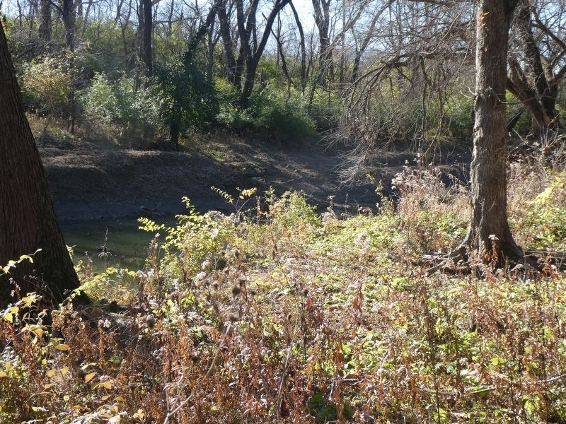
Brown Estates in Kansas City in Jackson County, Missouri — The American Midwest (Upper Plains)
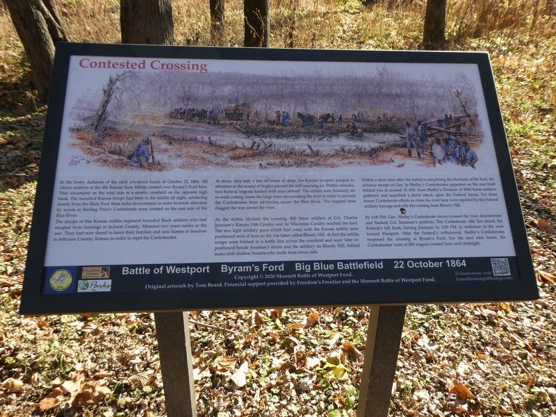
Contested Crossing
Battle of Westport • Byram's Ford • Big Blue Battlefield • 23 October 1864
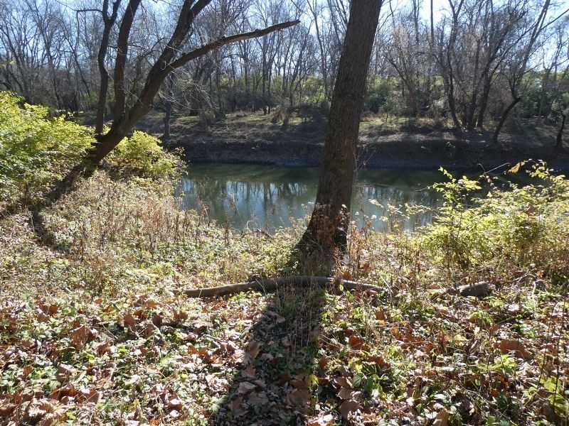
In the frosty darkness of the early pre-dawn hours of October 22, 1864, 300 citizen soldiers of the 4th Kansas State Militia crossed over Byram's Ford here. They encamped on the west side in a nearby cornfield on the opposite high bank. The mounted Kansas troops had been in the saddle all night, advancing slowly from the Main Ford three miles downstream in order to evade detection by scouts in Sterling Price's Confederate army located on the east side of the Blue River.
The troops of this Kansas militia regiment included Black soldiers who had escaped from bondage in Jackson County, Missouri two years earlier in the war. They had now dared to leave their families and new homes of freedom in Jefferson County, Kansas in order to repel the Confederates.
At dawn after only a few of hours of sleep, the Kansas troopers jumped to attention as the sound of bugles pierced the still morning air. Within minutes, two Federal wagons loaded with axes arrived. The militia men furiously set to work cutting down the large trees surrounding the ford in order to prevent the Confederates from advancing across the Blue River. The toppled trees clogged the way across the river.
As the militia blocked the crossing, 800 horse soldiers of Col. Charles Jennison's Kansas 15th Cavalry and 3d Wisconsin Cavalry reached the ford. The two light artillery guns which had come with the Kansas militia were positioned west of here on the rise latter called Bloody Hill. At first the militia troops were formed in a battle line across the cornfield and were later repositioned beside Jennison's forces and the artillery on Bloody Hill, behind make-shift shallow breastworks made from fence rails.
Within a short time after the militia's completing the blockade of the ford, the advance troops of Gen. Jo Shelby's Confederates appeared on the east bluff behind you at around 10 AM. Soon Shelby s Division of 3000 horse soldiers gathered and launched a fierce attack upon the Federal forces. For three hours, Confederate efforts to cross the river here were repelled by the Federal artillery barrage and rifle fire coming from Bloody Hill.
By 1:00 PM, Gen. Shelby's Confederate forces crossed the river downstream and flanked Col. Jennison's position. The Confederate rifle fire struck the Federal's left flank, forcing Jennison by 3:00 PM to withdraw to the west toward Westport. After the Federal's withdrawal, Shelby's Confederates reopened the crossing at Byram's Ford. For the next nine hours, the Confederates' train of 500 wagons crossed here until midnight.
Erected 2020 by Monnett Battle of Westport Fund.
Topics. This historical marker is listed in this topic list: War, US Civil. A significant historical date for this entry is October 22, 1864.
Location. 39° 1.077′ N, 94° 31.244′ W. Marker is in Kansas City, Missouri, in Jackson County. It is in Brown Estates. Marker can be reached from Hardesty Avenue north of 63rd Street, on the left when traveling north. Touch for map. Marker is at or near this postal address: 5900 Hardesty Ave, Kansas City MO 64129, United States of America. Touch for directions.
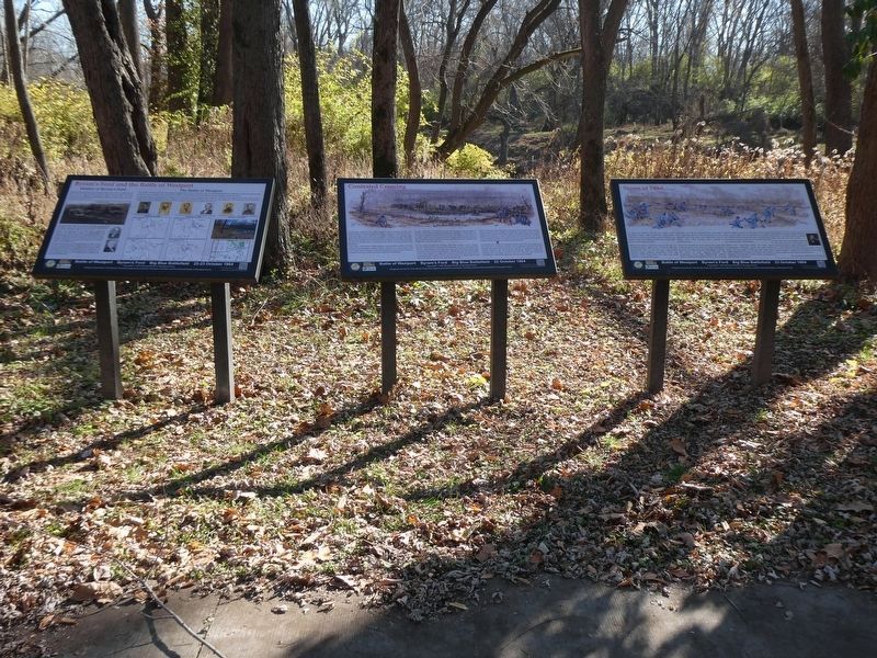
Other nearby markers. At least 8 other markers are within walking distance of this marker. Storm of Lead (here, next to this marker); Byram's Ford and the Battle of Westport (here, next to this marker); Byram's Ford Historic District (about 600 feet away, measured in a direct line); Battle of the Big Blue (approx. 0.3 miles away); Battle of the Big Blue, October 22, 1864 (approx. 0.3 miles away); Byram's Ford Battlefield (approx. 0.4 miles away); Log House and Defensive Line (approx. half a mile away); Pratt's Artillery (approx. 0.6 miles away). Touch for a list and map of all markers in Kansas City.
Also see . . .
1. Trans-Mississippi Musings. (Submitted on December 2, 2021.)
2. Trans-Mississippi Musings. (Submitted on December 2, 2021.)
Credits. This page was last revised on February 10, 2023. It was originally submitted on December 1, 2021, by Robert Macoubrie of Lenexa, Kansas. This page has been viewed 267 times since then and 30 times this year. Photos: 1. submitted on November 28, 2021, by Robert Macoubrie of Lenexa, Kansas. 2, 3, 4, 5. submitted on December 2, 2021, by Robert Macoubrie of Lenexa, Kansas. • Devry Becker Jones was the editor who published this page.
Editor’s want-list for this marker. Verification of the exact geocoordinates • Can you help?
