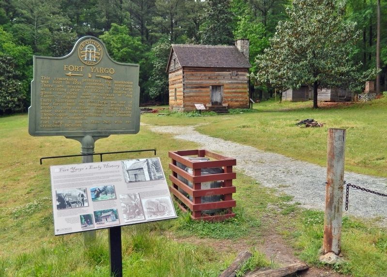
Winder in Barrow County, Georgia — The American South (South Atlantic)
Fort Yargo's Early History
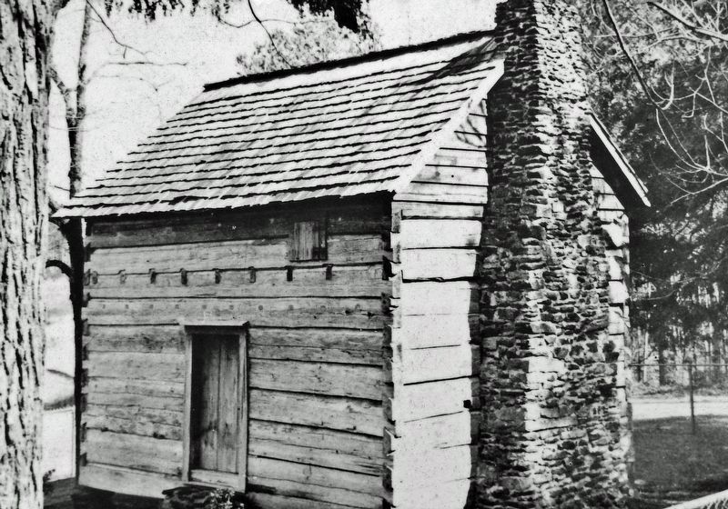
Small forts sprang up across Georgia's Indian lands during and after the Revolutionary War. The Creek, Cherokee, and other native peoples were drawn into the conflict by the British and fought skirmishes against the settlers who were establishing farms in their territory. When the Indians attacked, these settlers would flee to nearby forts for the mutual protection of all. The 1780s and 1790s were particularly violent, according to letters and legal statements given by local citizens of the time.
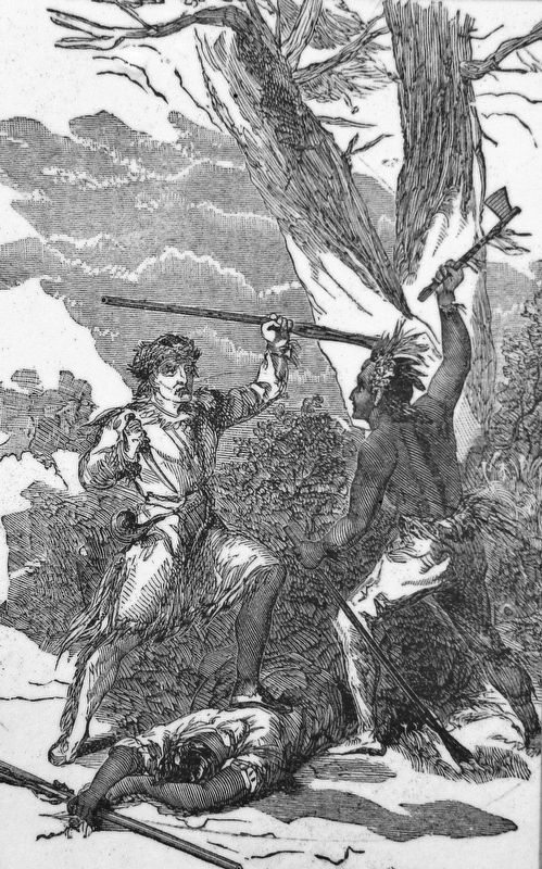
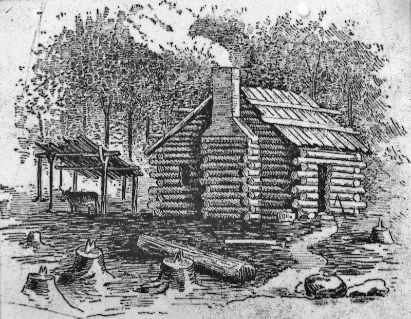
Settlers established farms in the Indian territories because the land was free for the taking. However, they risked their own lives as well as those of their families. Indian attacks, while not everyday occurrences, were frequent and often deadly. Additionally, settlers had to cope with disease, snakes, wildlife, and starvation if their crops failed or were destroyed. They lived mostly in small, one-room log cabins, usually several miles from their nearest neighbor.
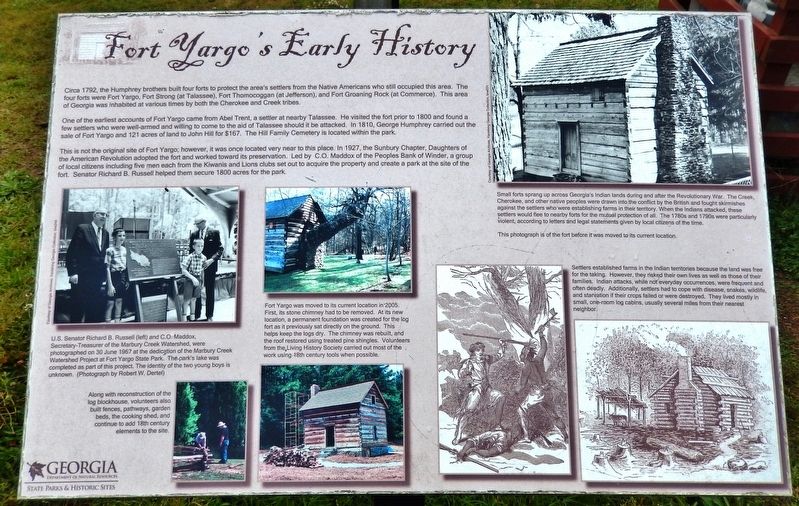
Circa 1792, the Humphrey brothers built four forts to protect the area's settlers from the Native Americans who still occupied this area. The four forts were Fort Yargo, Fort Strong (at Talassee), Fort Thomocoggan (at Jefferson), and Fort Groaning Rock (at Commerce). This area of Georgia was inhabited at various times by both the Cherokee and Creek tribes.
One of the earliest accounts of Fort Yargo came from Abel Trent, a settler at nearby Talassee. He visited the fort prior to 1800 and found a few settlers who were well-armed and willing to come to the aid of Talassee should it be attacked. In 1810, George Humphrey carried out the sale of Fort Yargo and 121 acres of land to John Hill for $167. The Hill Family Cemetery is located within the park.
This is not the original site of Fort Yargo; however, it was once located very near to this place. In 1927, the Sunbury Chapter, Daughters of the American Revolution adopted the fort and worked toward its preservation. Led by C.O. Maddox of the Peoples Bank of Winder, a group of local citizens including five men each from the Kiwanis and Lions clubs set out to acquire the property and create a park at the site of the fort. Senator Richard B. Russell helped them secure 1800 acres for the park.
Fort Yargo was moved to its current location in 2005. First, its stone chimney had to be removed. At its new location, a permanent foundation was created for the log fort as it previously sat directly on the ground. This helps keep the logs dry. The chimney was rebuilt, and the roof restored using treated pine shingles. Volunteers from the Living History Society carried out most of the work using 18th century tools when possible.
Along with reconstruction of the log blockhouse, volunteers
also built fences, pathways, garden beds, the cooking shed, and continue to add 18th century elements to the site.
Erected by Georgia Department of Natural Resources, State Parks & Historic Sites.
Topics. This historical marker is listed in these topic lists: Forts and Castles • Native Americans • Parks & Recreational Areas • Settlements & Settlers. A significant historical year for this entry is 1792.
Location. 33° 58.595′ N, 83° 44.105′ W. Marker is in Winder, Georgia, in Barrow County. Marker can be reached from Fort Yargo Road east of South Broad Street (Georgia Highway 81), on the left when traveling south. Marker is located at the Fort Yargo Interpretive Site within Fort Yargo State Park. Touch for map. Marker is in this post office area: Winder GA 30680, United States of America. Touch for directions.
Other nearby markers. At least 8 other markers are within walking distance of this marker. Fort Yargo (here, next to this marker); Fort Yargo's Living History Society (here, next to this marker); Fort Yargo's Frontier Fences (a few steps from this marker); Fort Yargo's Cabin (within shouting distance of this marker); Fort Yargo's Log Structure (within shouting distance of this marker); Fort Yargo's Beehive Oven (within shouting distance of this marker); Fort Yargo's Smokehouse
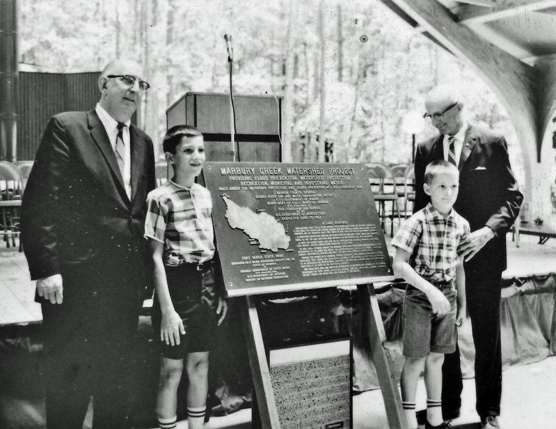
Courtesy Georgia Archives, Vanishing Georgia Collection, brw244
3. Marker detail: Marbury Creek Watershed Dedication
U.S. Senator Richard B. Russell (left) and C.O. Maddox, Secretary-Treasurer of the Marbury Creek Watershed, were photographed on 30 June 1967 at the dedication of the Marbury Creek Watershed Project at Fort Yargo State Park. The park's lake was completed as part of this project. The identity of the two young boys is unknown. (Photograph by Robert W. Dertel)
Related markers. Click here for a list of markers that are related to this marker. Fort Yargo State Park
Also see . . . Fort Yargo State Park. Georgia State Parks and Historic Sites website entry (Submitted on December 3, 2021, by Cosmos Mariner of Cape Canaveral, Florida.)
Credits. This page was last revised on May 17, 2022. It was originally submitted on December 2, 2021, by Cosmos Mariner of Cape Canaveral, Florida. This page has been viewed 385 times since then and 65 times this year. Photos: 1, 2, 3, 4, 5, 6. submitted on December 3, 2021, by Cosmos Mariner of Cape Canaveral, Florida.
