Greenville in Wayne County, Missouri — The American Midwest (Upper Plains)
Old Greenville's Accommodation
Hotels and Tourist Cabins
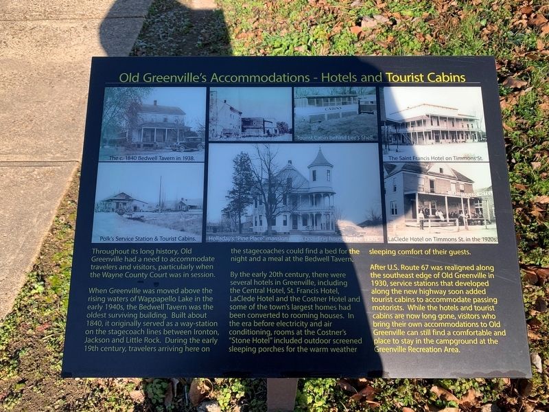
Throughout its long history , Old Greenville had a need to accommodate travelers and visitors, particularly when the Wayne County Court was in session.
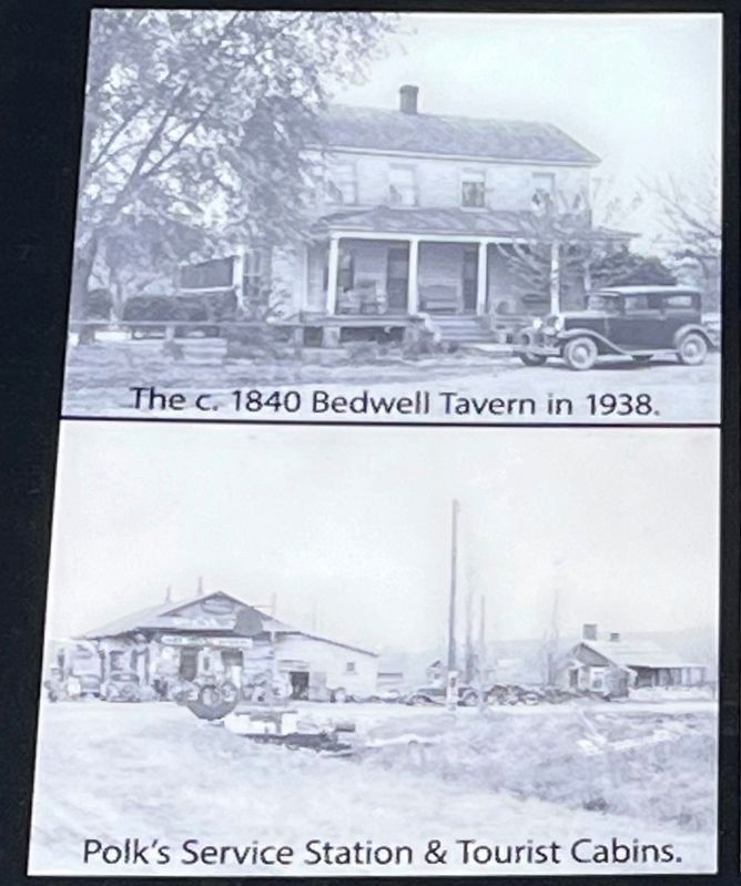
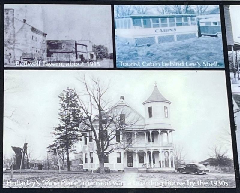
When Greenville was moved above the rising waters of Wappapello Lake in the early 1940s, the Bedwell Tavern was the oldest surviving building. Built about 1840, it originally served as a way-station on the stagecoach lines between Ironton, Jackson and Little Rock. During the Early 19th century, travelers arriving here on the stagecoaches could find a bed for the night and a meal at the Bedwell Tavern.
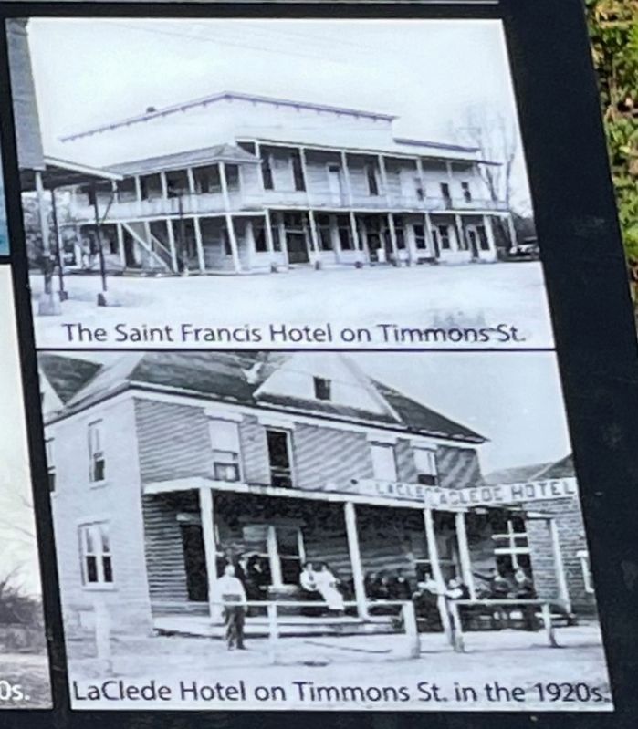
By the early 20th century, there were several hotels in Greenville, including the Central Hotel, St. Francis Hotel, Laclede Hotel, and the Coster's Hotel and some of the town's largest homes had been converted to rooming houses. In am era before electricity and air conditioning, rooms at the Coster's "Stone Hotel" included outdoor screened sleeping porches for the warm weather sleeping comfort of their guests.
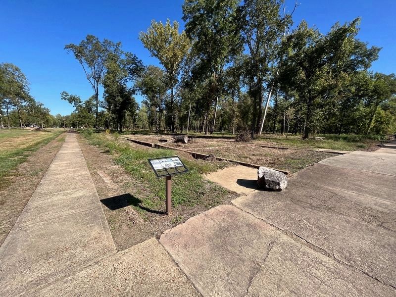
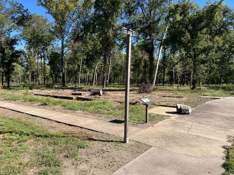
After U.S. Route 67 was realigned along the southeast edge of Old Greenville in 1930, service station that developed along the new highway soon added tourist cabins to accommodate passing motorist. While the hotels and tourist cabins are now long gone, visitors who bring their own accommodation to Old Greenville can still find a comfortable and place to stay in the campground at the Greenville Recreation Area.
Topics. This historical marker is listed in these topic lists: Industry & Commerce • Roads & Vehicles. A significant historical year for this entry is 1930.
Location. 37° 6.032′ N, 90° 27.341′ W. Marker is in Greenville, Missouri, in Wayne County. Marker can be reached from U.S. 67, 2 miles south of County Road 221, on the right when traveling south. Located on the "Memory Lane" trail through Old Greenville, inside the Greenville Recreation Area, Wappapello Lake. Touch for map. Marker is in this post office area: Greenville MO 63944, United States of America. Touch for directions.
Other nearby markers. At least 8 other markers are within walking distance of this marker. Hastings' Barber Shop (within shouting distance of this marker); Wilcox Service Station (within shouting distance of this marker); Ownbey Residence (within shouting distance of this marker); Greenville Jailhouse (within shouting distance of this marker); Ward's Store (within shouting distance of this marker); Keep Right! (within shouting distance of this marker); Wayne County Courthouse (within shouting distance of this marker); She Poisoned His Tomato Wine (within shouting distance of this marker). Touch for a list and map of all markers in Greenville.
Credits. This page was last revised on November 11, 2022. It was originally submitted on December 2, 2021, by Thomas Smith of Waterloo, Ill. This page has been viewed 108 times since then and 17 times this year. Photos: 1. submitted on December 2, 2021, by Thomas Smith of Waterloo, Ill. 2, 3, 4, 5, 6. submitted on November 11, 2022, by Craig Swain of Leesburg, Virginia. • Devry Becker Jones was the editor who published this page.
