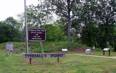
Gloucester Point in Gloucester County, Virginia — The American South (Mid-Atlantic)
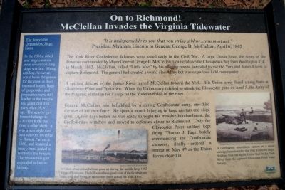
On to Richmond!
McClellan Invades the Virginia Tidewater
“It is indispensable to you that you strike a blow...you must act.”
President Abraham Lincoln to General George B. McClellan, April 6, 1862
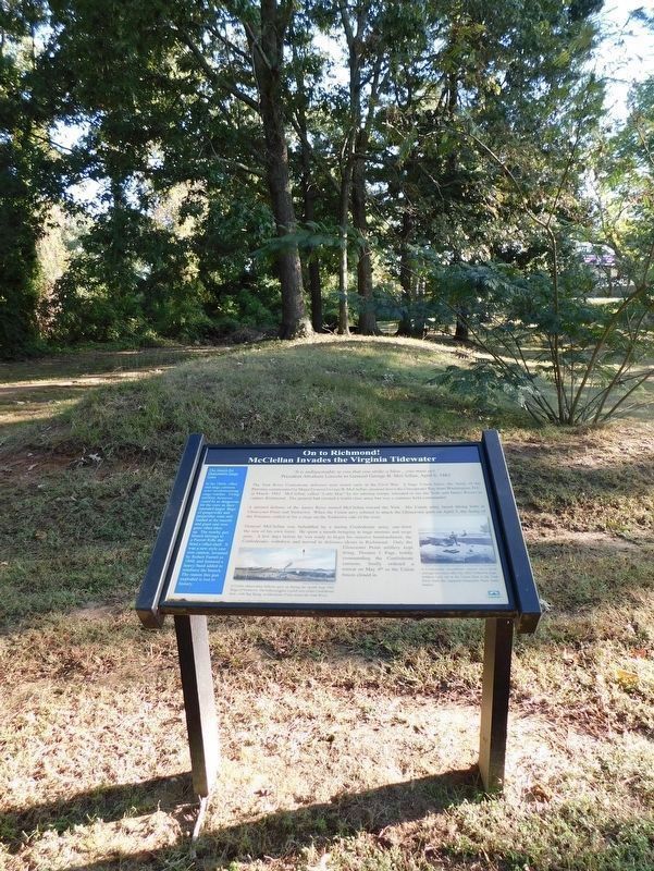
The York River Confederate defenses were tested early in the Civil War. A large Union force, the Army of the Potomac, commanded by Major General George B. McClellan, steamed down the Chesapeake Bay from Washington D.C. in March, 1862. McClellan, called “Little Mac” by his adoring troops, intended to use the York and James Rivers to capture Richmond. The general had created a world class army but was a cautious field commander.
A spirited defense of the James River turned McClellan toward the York. His Union army faced strong forts at Gloucester Point and Yorktown. When the Union navy refused to attack the Gloucester guns on April 5, the Army of the Potomac settled in for a siege on the Yorktown side of the river.
General McClellan was befuddled by a daring Confederate army, one-third the size of his own force. He spent a month bringing in huge mortars and siege guns. A few days before he was ready to begin his massive bombardment, the Confederates withdrew and moved to defenses closer to Richmond. Only the Gloucester Point artillery kept firing. Thomas J. Page, boldly commanding the Confederate cannons, finally ordered a retreat on May 4th as the Union forces closed in.
(sidebar)
The Search for Dependable Siege Guns
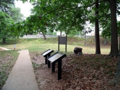
In the 1860s, rifled and large cannons were revolutionizing siege warfare. Firing artillery, however, could be as dangerous for the crew as their intended target. Bags of gunpowder and projectiles were still loaded at the muzzle and giant cast iron guns often blew up. The nearby gun breech belongs to a Parrott Rifle that fired a rifled shell. It was a new style cast iron cannon, invented by Robert Parrott in 1860, and featured a heavy band added to reinforce the breech. The reason this gun exploded is lost to history.
(captions)
A Union observation balloon goes up during the month long 1862 Siege of Yorktown. The balloonist has a good view of the Confederate forts, with flag flying, at Gloucester Point across the York River. Courtesy of the Virginia Historical Society
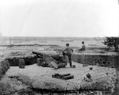
A Confederate smoothbore cannon on a naval carriage lies silent after the 1862 Yorktown siege. Soldiers look out at the Union fleet in the York River from the captured Gloucester Point water battery. Courtesy of the U.S. Army Military History Institute, U.S. Army Heritage and Education Center
Erected by Chesapeake Bay Gateways Network.
Topics. This historical marker is listed in this topic list: War, US Civil. A significant historical month for this entry is March 1862.
Location. 37° 15.034′ N, 76° 30.105′ W. Marker is in Gloucester Point, Virginia, in Gloucester County. Marker can be reached from Vernon Street near Riverview Street. The marker is on the Tyndall’s Point Park Walkway. Touch for map. Marker is at or near this postal address: 1376 Vernon Street, Gloucester Point VA 23062, United States of America. Touch for directions.
Other nearby markers. At least 8 other markers are within walking distance of this marker. The British Safety Valve (a few steps from this marker); A Vital British Outpost at Gloucester Point (a few steps from this marker); Parts of a Parrott Rifle (a few steps from this marker); Where North Meets South (a few steps from this marker); Attacking with “Decisive Vigor” (a few steps from this marker); Natives, Explorers, Tobacco and Buccaneers (a few steps from this marker); Welcome to Gloucester Point (within shouting distance of this marker); After the Surrender at Yorktown (within shouting distance of this marker). Touch for a list and map of all markers in Gloucester Point.
Credits. This page was last revised on November 29, 2021. It was originally submitted on May 8, 2009, by Bernard Fisher of Richmond, Virginia. This page has been viewed 952 times since then and 14 times this year. Last updated on November 26, 2021, by Bradley Owen of Morgantown, West Virginia. Photos: 1, 2. submitted on May 8, 2009, by Bernard Fisher of Richmond, Virginia. 3. submitted on November 26, 2021, by Bradley Owen of Morgantown, West Virginia. 4, 5. submitted on May 8, 2009, by Bernard Fisher of Richmond, Virginia.
