Croom in Prince George's County, Maryland — The American Northeast (Mid-Atlantic)
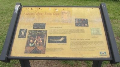
Mount Calvert, Early Town
It is hard to imagine, but Mount Calvert was once a busy port town of a frontier community. After the Colony of Maryland was created in 1634, colonists began seeking land grants along the Upper Patuxent River. In 1658 Phillip Calvert was granted Mount Calvert, a 1,000-acre manor. As plantations flourished, the Maryland General Assembly created dozens of towns to encourage settlement and establish official ports of entry.
The Rise and Fall of a Town
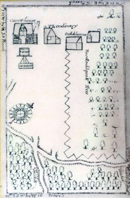
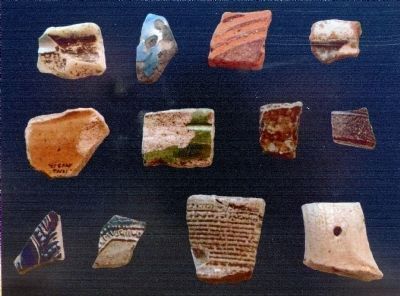
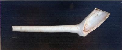
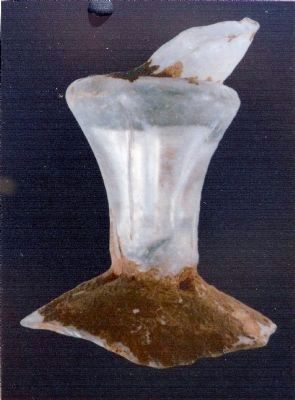
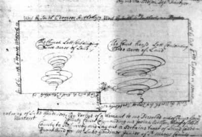
The town at Mount Calvert was established by the 1684 Act for the Advancement of Trade. Mount Calvert became the county seat when Prince George's County was created in 1696 and was renamed Charles Town. By 1710, an Anglican Church, courthouse and jail had been built. At the riverfront wharves, ships brought goods from Europe in exchange for tobacco. Ordinaries (taverns) provided food, drink and lodging to planters and merchants.
In 1721, the county seat was moved to Upper Marlboro. Charles Town gradually disappeared and Mount Calvert became a ferry landing.
Topics. This historical marker is listed in these topic lists: Colonial Era • Settlements & Settlers. A significant historical year for this entry is 1634.
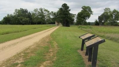
Location. 38° 47.077′ N, 76° 42.989′ W. Marker is in Croom, Maryland , in Prince George's County. Marker is on Mount Calvert Road, 0.3 miles east of McClure Road, on the right. Marker is in the Mount Calvert Historical and Archaeological Park. Touch for map. Marker is in this post office area: Upper Marlboro MD 20772, United States of America. Touch for directions.
Other nearby markers. At least 8 other markers are within walking distance of this marker. Woodland Indians (here, next to this marker); African-Americans at Mount Calvert (about 300 feet away, measured in a direct line); Mount Calvert Manor (about 300 feet away); Chesapeake Beach Railway (about 400 feet away); The War of 1812 and the Chesapeake Flotilla (about 400 feet away); Explosive Scene (about 400 feet away); Mount Calvert Historical and Archaeological Park (about 400 feet away); First Americans at Mount Calvert (about 400 feet away). Touch for a list and map of all markers in Croom.
Credits. This page was last revised on December 5, 2021. It was originally submitted on September 1, 2013, by F. Robby of Baltimore, Maryland. This page has been viewed 637 times since then and 36 times this year. Last updated on December 4, 2021, by Carl Gordon Moore Jr. of North East, Maryland. Photos: 1, 2. submitted on September 1, 2013, by F. Robby of Baltimore, Maryland. 3, 4, 5, 6, 7, 8. submitted on February 7, 2015, by Allen C. Browne of Silver Spring, Maryland. • J. Makali Bruton was the editor who published this page.
