The Palisades in Northwest Washington in Washington, District of Columbia — The American Northeast (Mid-Atlantic)
MacArthur Boulevard and the Washington Aqueduct

Photographed By Devry Becker Jones (CC0), December 4, 2021
1. MacArthur Boulevard and the Washington Aqueduct Marker
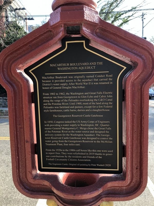
MacArthur Boulevard was originally named Conduit Road because it provided access to the aqueduct that carried the District's water supply. After World War II it was renamed in honor of General Douglas MacArthur.
From 1902 to 1962, the Washington and Great Falls Electric streetcar ran from Georgetown to Glen Echo and Cabin John along the verge of the Palisades overlooking the C&O Canal and the Potomac River. Until 1900, most of the land along the Palisades was farmland and pasture, except for a few Federal style farmhouses, cattle barns, dairies and a slaughterhouse.
The Georgetown Reservoir Castle Gatehouse
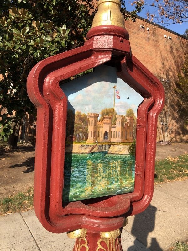
In 1850, Congress tasked the US Army Corps of Engineers with providing a water supply to Washington, DC. Quartermaster General Montgomery C. Meigs chose the Great Falls of the Potomac River as the water source and designed the delivery system for the Washington Aqueduct. The Georgetown Reservoir Castle Gatehouse was designed to control the water going from the Georgetown Reservoir to the McMillan Treatment Plant, four miles east.
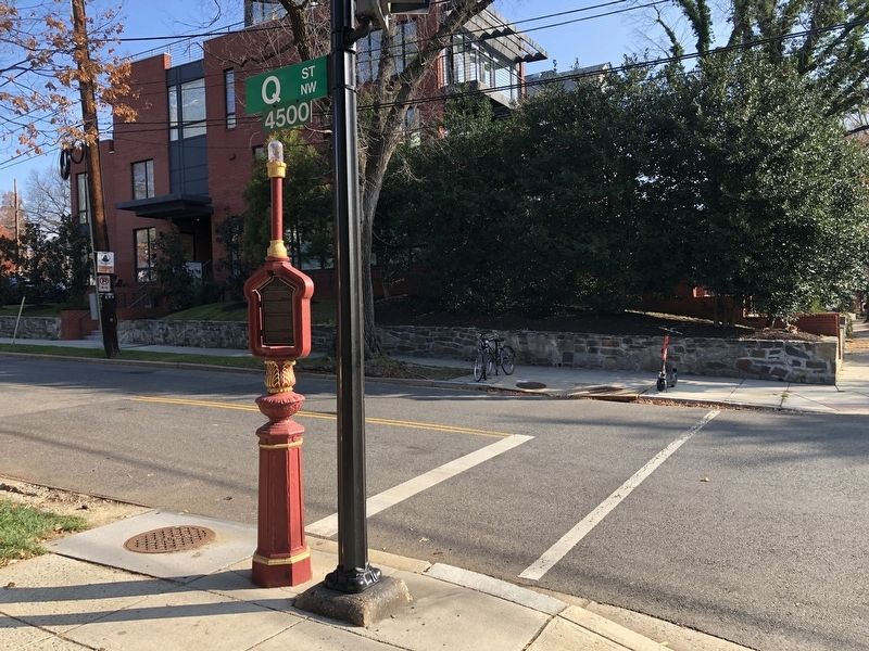
From the 1920s to the 1980s call boxes like this one were used to report fires. They were refurbished in 2019 thanks to generous contributions by the residents and friends of the Foxhall Community Citizens Association.
The Engineers Castle: Original oil painting by Peter Waddell 2020
Erected 2020 by Foxhall Community Citizens Association. (Marker Number 6.)
Topics and series. This historical marker is listed in these topic lists: Natural Resources • Railroads & Streetcars • Roads & Vehicles • Waterways & Vessels. In addition, it is included in the Chesapeake and Ohio (C&O) Canal series list. A significant historical year for this entry is 1902.
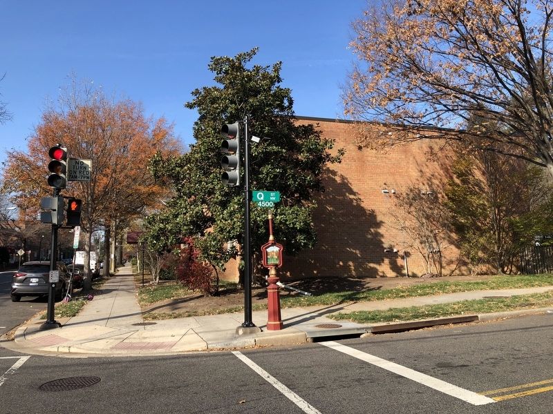
Location. 38° 54.538′ N, 77° 5.18′ W. Marker is in Northwest Washington in Washington, District of Columbia. It is in The Palisades. Marker is at the intersection of Q Street Northwest and MacArthur Boulevard, on the right when traveling west on Q Street Northwest. Touch for map. Marker is at or near this postal address: 4545 Q St NW, Washington DC 20007, United States of America. Touch for directions.
Other nearby markers. At least 8 other markers are within walking distance of this marker. Development Along Foxhall Road (approx. 0.2 miles away); History of Police and Fire Call Boxes (approx. 0.3 miles away); The Development of Foxhall Village (approx. 0.3 miles away); Henry Foxall - Industrialist (approx. 0.3 miles away); Foxhall Village Now and Then (approx. 0.4 miles away); Georgetown Incline Plane (approx. 0.4 miles away); Through the Eyes of a Scientist (approx. 0.4 miles away); For God And Country (approx. half a mile away). Touch for a list and map of all markers in Northwest Washington.

Photographed By Devry Becker Jones (CC0), December 4, 2021
2. MacArthur Boulevard and the Washington Aqueduct Marker

Photographed By Devry Becker Jones (CC0), December 4, 2021
3. MacArthur Boulevard and the Washington Aqueduct Marker

Photographed By Devry Becker Jones (CC0), December 4, 2021
4. MacArthur Boulevard and the Washington Aqueduct Marker
Credits. This page was last revised on January 30, 2023. It was originally submitted on December 4, 2021, by Devry Becker Jones of Washington, District of Columbia. This page has been viewed 293 times since then and 47 times this year. Photos: 1, 2, 3, 4. submitted on December 4, 2021, by Devry Becker Jones of Washington, District of Columbia.