Lawrenceburg in Dearborn County, Indiana — The American Midwest (Great Lakes)
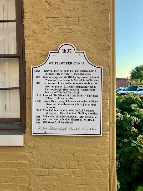
Whitewater Canal
1837
1836 Indiana appropriates $1,400,000 to begin construction on Whitewater Canal linking the National Rd to Ohio River.
1837 The terminus of the canal is completed directly across from this plaque. E.D. Johns immediately builds Lawrenceburgh's first commercial flouring mill, later called “The Old Water Mill”.
1838 Renamed “The Miami Mills” (and distillery) it produced 300 barrels of flour per day.
c.1846 Violent floods damaged the canal — it begins to fall into disuse and railroads eventually buy rights to canal tow paths.
1848 Miami Mills machinery sold to the Gaff brothers of Aurora (Hillforest) for their distilling operation.
1885 Mill used as sawmill by R. Duck. Later becomes apts.
1939 Current levee built after disastrous 1937 flood.
1999 Old Water Mill demolished.
Erected by Historic Lawrenceburgh-Greendale Foundation.
Topics. This historical marker is listed in these topic lists: Industry & Commerce • Waterways & Vessels. A significant historical year for this entry is 1837.
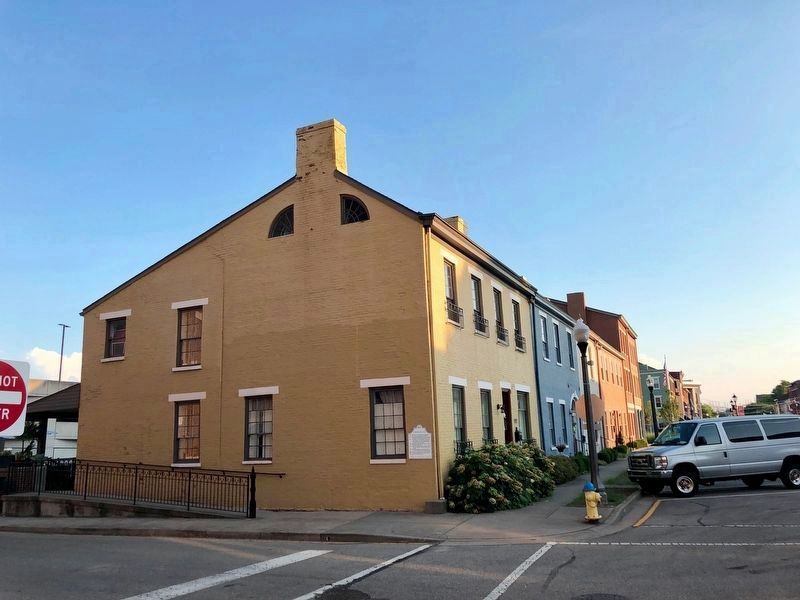
Location. 39° 5.626′ N, 84° 50.747′ W. Marker is in Lawrenceburg, Indiana, in Dearborn County. Marker is at the intersection of East High Street and Elm Street, on the left when traveling south on East High Street. Touch for map. Marker is at or near this postal address: 190 E High St, Lawrenceburg IN 47025, United States of America. Touch for directions.
Other nearby markers. At least 8 other markers are within walking distance of this marker. Rescued Row Houses (within shouting distance of this marker); Isaac Dunn House (within shouting distance of this marker); Lawrenceburg's First Hospital (about 300 feet away, measured in a direct line); Dunn-Axby House (about 300 feet away); McCullough Drug Company (about 400 feet away); Old Firehouse (about 400 feet away); First National Bank (about 400 feet away); 29 East High Street (about 500 feet away). Touch for a list and map of all markers in Lawrenceburg.
Also see . . . Whitewater Canal. Wikipedia entry on the 76-mile waterway that connected the Indiana towns of Lawrenceburg and Hagerstown. (Submitted on December 4, 2021, by Duane and Tracy Marsteller of Murfreesboro, Tennessee.)
Credits. This page was last revised on December 4, 2021. It was originally submitted on December 4, 2021, by Duane and Tracy Marsteller of Murfreesboro, Tennessee. This page has been viewed 177 times since then and 23 times this year. Photos: 1, 2. submitted on December 4, 2021, by Duane and Tracy Marsteller of Murfreesboro, Tennessee.

