Gloucester Point in Gloucester County, Virginia — The American South (Mid-Atlantic)
Still Defending Virginiaís Shores
Gloucester Point Today
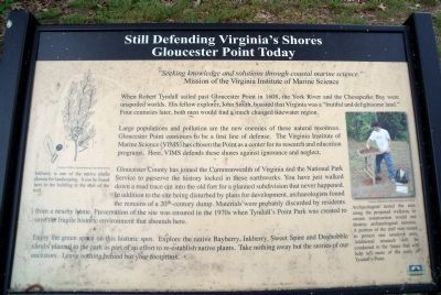
When Robert Tyndall sailed past Gloucester Point in 1608, the York River and the Chesapeake Bay were unspoiled worlds. His fellow explorer, John Smith, boasted that Virginia was a “fruitful and delightsome land.” Four centuries later, both men would find a much changed tidewater region.
Large populations and pollution are the new enemies of these natural resources. Gloucester Point continues to be a first line of defense. The Virginia Institute of Marine Science (VIMS) has chosen the Point as a center for its research and education programs. Here, VIMS defends these shores against ignorance and neglect.
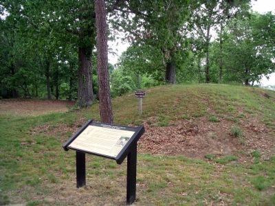
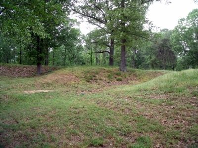
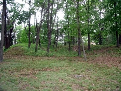
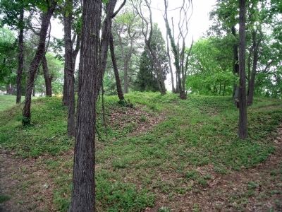
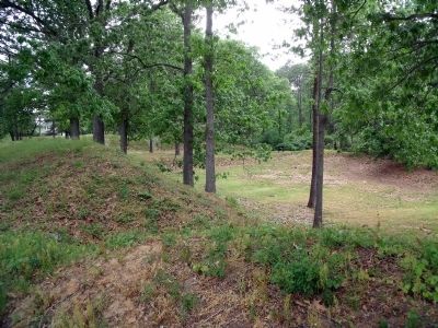
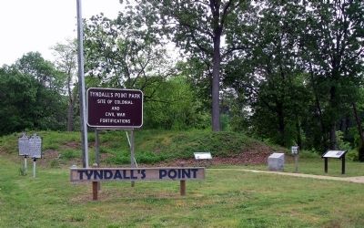
Gloucester County has joined the Commonwealth of Virginia and the National Park Service to preserve the history locked in these earthworks. You have just walked down a road trace cut into the old fort for a planned subdivision that never happened. In addition to the site being disturbed by plans for development, archaeologists found the remains of a 20th-century dump. Materials were probably discarded by residents from a nearby home. Preservation of the site was ensured in the 1970s when Tyndallís Point Park was created to save fragile historic environment that abounds here.
Enjoy the green space on this historic spot. Explore the native Bayberry, Inkberry, Sweet Spire and Doghobble shrubs planted in the park as part of an effort to re-establish native plants. Take nothing away but the stories of our ancestors. Leave nothing behind but your footprints.
Erected by Chesapeake Bay Gateways Network.
Topics. This historical marker is listed in these topic lists: Education • Forts and Castles • War, US Civil. A significant historical year for this entry is 1608.
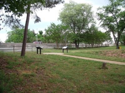
Location. 37° 14.964′ N, 76° 30.128′ W. Marker is in Gloucester Point, Virginia, in Gloucester County. Marker can be reached from Vernon Street near Riverview Street. The marker is on the Tyndallís Point Park Walkway. Touch for map. Marker is at or near this postal address: 1376 Vernon Street, Gloucester Point VA 23062, United States of America. Touch for directions.
Other nearby markers. At least 8 other markers are within walking distance of this marker. Gloucester Point (here, next to this marker); Classic Camp Life (within shouting distance of this marker); Attacking with ďDecisive VigorĒ (about 400 feet away, measured in a direct line); Where North Meets South (about 400 feet away); a different marker also named Gloucester Point (about 400 feet away); a different marker also named Gloucester Point (about 400 feet away); Welcome to Gloucester Point (about 400 feet away); Early Land Patent (about 400 feet away). Touch for a list and map of all markers in Gloucester Point.
More about this marker. On the upper left is a illustration with the caption, “Inkberry is one of the native plants chosen for landscaping. It can be found next to the building at the start of the trail.” Courtesy of USDA, National Resource Convention Service
On the lower right is a photo with the caption, “Archaeologist tested the area along the proposed walkway to ensure construction would not destroy archaeological remains. A portion of the trail was raised to protect one sensitive area. Additional research will be conducted in the future that will help tell more of the story of Tyndallís Point.” Courtesy of Gloucester Parks, Recreation and Tourism
Also see . . .
1. Tyndall's Point Park. Glocester County Parks, Recreation & Tourism (Submitted on May 8, 2009.)
2. Virginia Institute of Marine Science (VIMS). The College of William and Mary (Submitted on May 27, 2010.)
Credits. This page was last revised on November 5, 2021. It was originally submitted on May 8, 2009, by Bernard Fisher of Richmond, Virginia. This page has been viewed 833 times since then and 24 times this year. Photos: 1, 2, 3, 4, 5, 6, 7, 8. submitted on May 8, 2009, by Bernard Fisher of Richmond, Virginia.
