The Palisades in Northwest Washington in Washington, District of Columbia — The American Northeast (Mid-Atlantic)
Development Along Foxhall Road
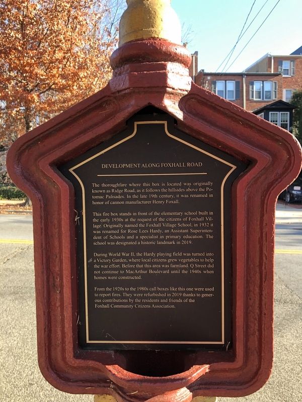
The thoroughfare where this box is located was originally known as Ridge Road, as it follows the hillside above the Potomac Palisades. In the late 19th century, it was renamed in honor of cannon manufacturer Henry Foxall.
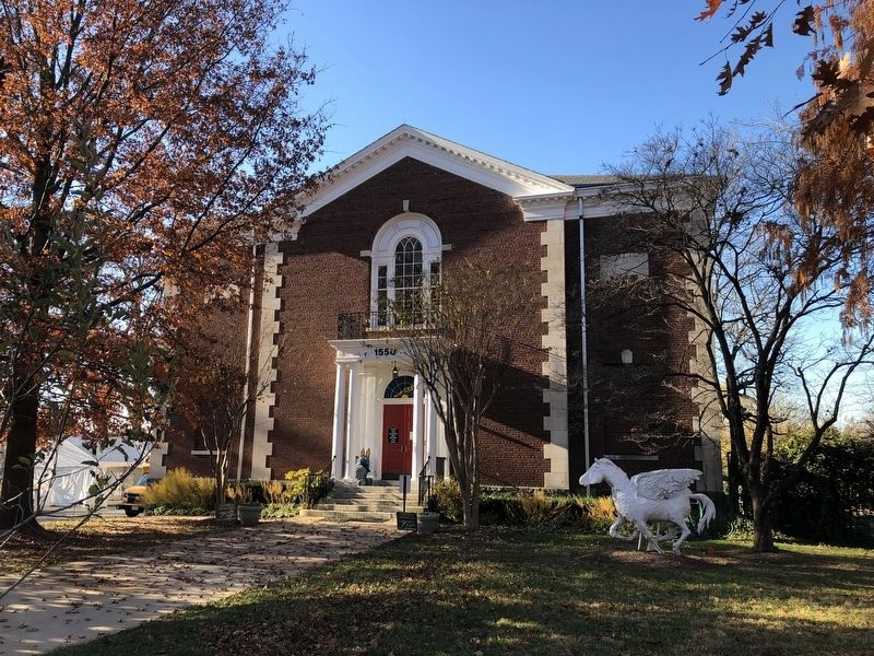
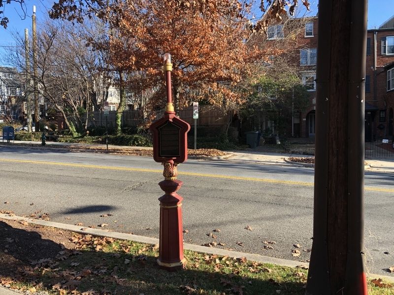
The fire box stands in front of the elementary school built in the early 1930s at the request of the citizens of Foxhall Village. Originally named the Foxhall Village School, in 1932 it was renamed for Rose Lees Hardy, an Assistant Superintendent of Schools and a specialist in primary education. The school was designated a historic landmark in 2019.
During World War II, the hardy playing field was turned into a Victory Garden, where local citizens grew vegetables to help the war effort. Before that this area was farmland. Q street did not continue to MacArthur Bouelvard until the 1940s when homes were constructed.
From the 1920s to the 1980s call boxes like this one were used to report fires. They were refurbished in 2019 thanks to generous contributions by the residents and friends of the Foxhall Community Citizens Association.
Erected 2019 by Foxhall Community Citizens Association. (Marker Number 5.)
Topics. This historical marker is listed in these topic lists: Agriculture • Charity & Public Work • Communications • Education • Landmarks • Roads & Vehicles • War, World II. A significant historical year for this entry is 1932.
Location. 38° 54.621′ N, 77° 5.027′ W. Marker is in Northwest Washington in Washington, District of Columbia. It is in The Palisades. Marker is on Foxhall Road Northwest just south of Q Street Northwest, on the right when traveling south. Touch for map. Marker is at or near this postal address: 4456 Q St NW, Washington DC 20007, United States of America. Touch for directions.
Other nearby markers. At least 8 other markers are within walking distance of this marker. History of Police and Fire Call Boxes (about 700 feet away, measured in a direct line); The Development of Foxhall Village (about 800 feet away); MacArthur Boulevard and the Washington Aqueduct (approx. 0.2 miles away); Foxhall Village Now and Then (approx. 0.2 miles away); Through the Eyes of a Scientist (approx. 0.2 miles away); Henry Foxall - Industrialist (approx. ¼ mile away); For God And Country (approx. 0.4 miles away); The Freddy and Diana Prince Labyrinth (approx. 0.4 miles away). Touch for a list and map of all markers in Northwest Washington.

Photographed By Devry Becker Jones (CC0), December 5, 2021
3. The former Hardy School, now named the Lab School
Credits. This page was last revised on January 30, 2023. It was originally submitted on December 5, 2021, by Devry Becker Jones of Washington, District of Columbia. This page has been viewed 132 times since then and 17 times this year. Photos: 1, 2, 3. submitted on December 5, 2021, by Devry Becker Jones of Washington, District of Columbia.

