
Near Hopewell in Prince George County, Virginia — The American South (Mid-Atlantic)
Samuel Jordan of Jordan's Journey
Photographed by Bernard Fisher, May 2, 2009
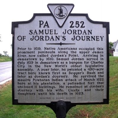
1. Samuel Jordan of Jordan's Journey Marker
Prior to 1619, Native Americans occupied this prominent peninsula along the upper James River, now called Jordan's Point. Arriving in Jamestown by 1610, Samuel Jordan served in July 1619 in Jamestown as a burgess for Charles City in the New World's oldest legislative assembly. A year later, he patented a 450-acre tract here known first as Beggar's Bush and later as Jordan's Journey. He survived the massive Powhatan Indian attack of March 1622 here at his plantation, a palisaded fort that enclosed 11 buildings. He remained at Jordan's Journey with his wife, Cicely, and their daughters until his death in 1623.
Erected 1997 by Department of Historic Resources. (Marker Number PA-252.)
Topics and series. This historical marker is listed in these topic lists: Colonial Era • Forts and Castles • Indigenous Peoples and Communities • Settlements & Settlers. In addition, it is included in the Virginia Department of Historic Resources (DHR) series list. A significant historical year for this entry is 1619.
Location. This marker has been replaced by another marker nearby. It was located near 37° 18.389′ N, 77° 13.355′ W.
this page online

Regionally, this marker was in Coastal Virginia. It was also in the American South, specifically in the Upper South, in the Tidewater, and on the Eastern Seaboard. Globally, it was in the North Atlantic Region, North America, the Western Hemisphere, the Western World, and the Anglosphere. Historically, it found itself in what was once the territory of the Mississippian Culture, one of the original Thirteen Colonies, one of the Confederate States of America, and the Antebellum South.
Other nearby markers. At least 8 other markers are within 3 miles of this location, measured as the crow flies: A different marker also named Samuel Jordan of Jordan's Journey (here, next to this marker); Richard Bland (within shouting distance of this marker); Evergreen (approx. 1.7
Photographed by Bernard Fisher, May 2, 2009
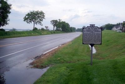
2. Jordan Point Road (facing north).
Credits. This page was last revised on June 3, 2026. It was originally submitted on May 8, 2009, by Bernard Fisher of Richmond, Virginia. This page has been viewed 5,906 times since then and 373 times this year. Photos: 1, 2. submitted on May 8, 2009, by Bernard Fisher of Richmond, Virginia.
