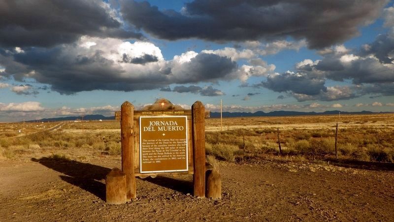
Near Engle in Sierra County, New Mexico — The American Mountains (Southwest)
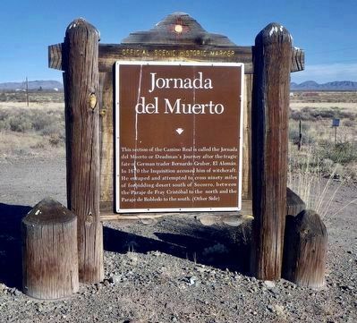
Jornada del Muerto
This section of the Camino Real is called the Jornada del Muerto or Deadman’s Journey after the tragic fate of German trader Bernardo Gruber, El Alemán. In 1670 the Inquisition accused him of witchcraft. He escaped and attempted to cross ninety miles of forbidding desert south of Socorro, between the Paraje de Fray Cristóbal to the north and the Paraje de Robledo to the south. (Other Side)
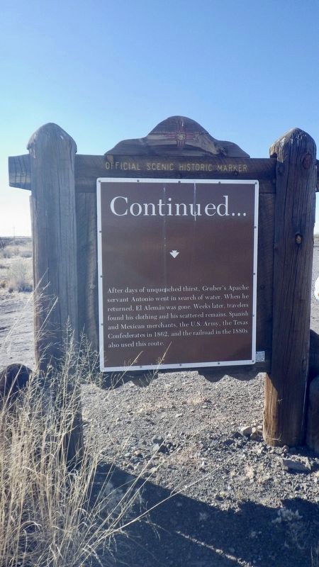
Continued…
After days of unquenched thirst, Gruber’s Apache servant Antonio went in search of water. When he returned, El Alemán was gone. Weeks later, travelers found his clothing and his scattered remains. Spanish and Mexican merchants, the U.S. Army, the Texas Confederates in 1862, and the railroad in the 1880s also used this route.
Erected by New Mexico Historic Preservation Division.
Topics. This historical marker is listed in these topic lists: Exploration • Roads & Vehicles.
Location. 33° 10.312′ N, 107° 2.738′ W. Marker is near Engle, New Mexico, in Sierra County. Marker is on State Highway 51 west of County Route A013, on the left when traveling west. Touch for map. Marker is in this post office area: Elephant Butte NM 87935, United States of America. Touch for directions.
Other nearby markers. At least 3 other markers are within 12 miles of this marker, measured as the crow flies. Elephant Butte Dam (approx. 8½ miles away); Fort McRae 1863-1876 (approx. 9.2 miles away); Truth or Consequences (approx. 11.9 miles away).
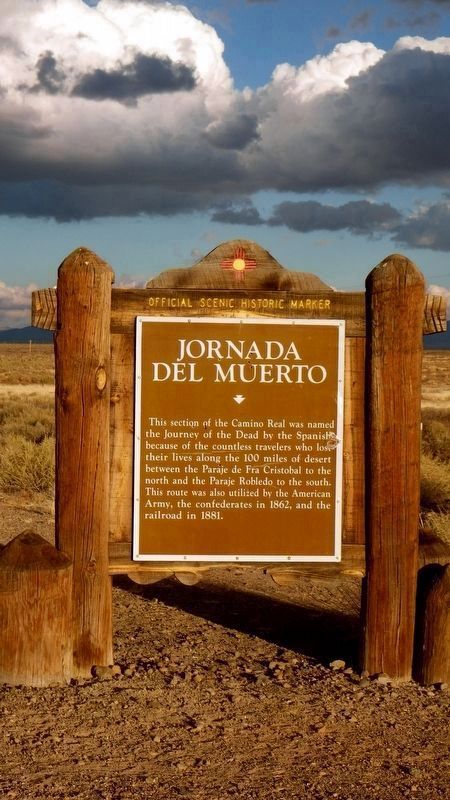
Regarding Jornada del Muerto. The marker's previous text was, "This section of the Camino Real was named the Journey of the Dead by the Spanish because of the countless travelers who lost their lives along the 100 miles of desert between the Paraje de Fra Cristobal to the north and the Paraje Robledo to the south. This route was also utilized by the American Army, the confederates in 1862, and the railroad in 1881."
Credits. This page was last revised on December 21, 2021. It was originally submitted on December 5, 2021, by Karen Hergenrider of Elephant Butte, New Mexico. This page has been viewed 339 times since then and 36 times this year. Photos: 1, 2. submitted on December 17, 2021, by Karen Hergenrider of Elephant Butte, New Mexico. 3, 4, 5. submitted on December 5, 2021, by Karen Hergenrider of Elephant Butte, New Mexico. • J. Makali Bruton was the editor who published this page.
