Gonzales in Gonzales County, Texas — The American South (West South Central)
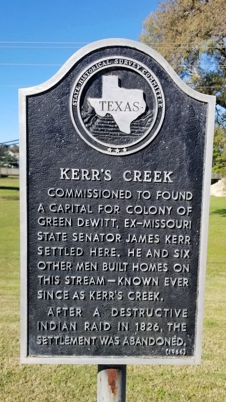
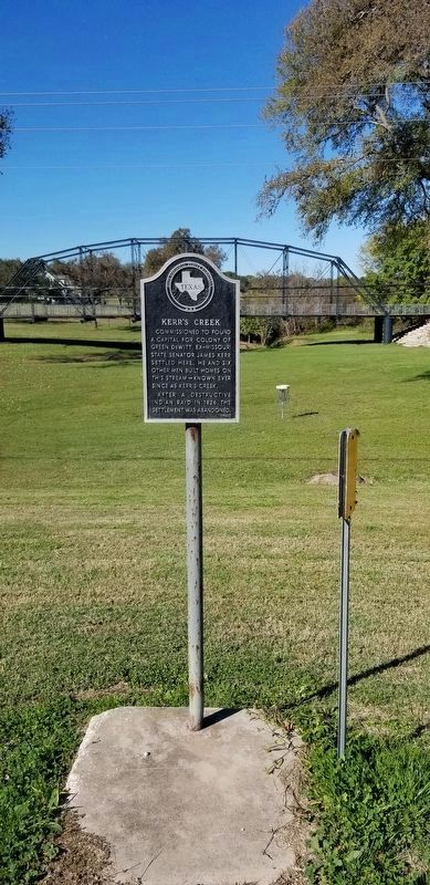
Kerr's Creek
After a destructive Indian raid in 1826, the settlement was abandoned.
Erected 1966 by State Historical Survey Committee. (Marker Number 2930.)
Topics. This historical marker is listed in these topic lists: Settlements & Settlers • Wars, US Indian • Waterways & Vessels. A significant historical year for this entry is 1826.
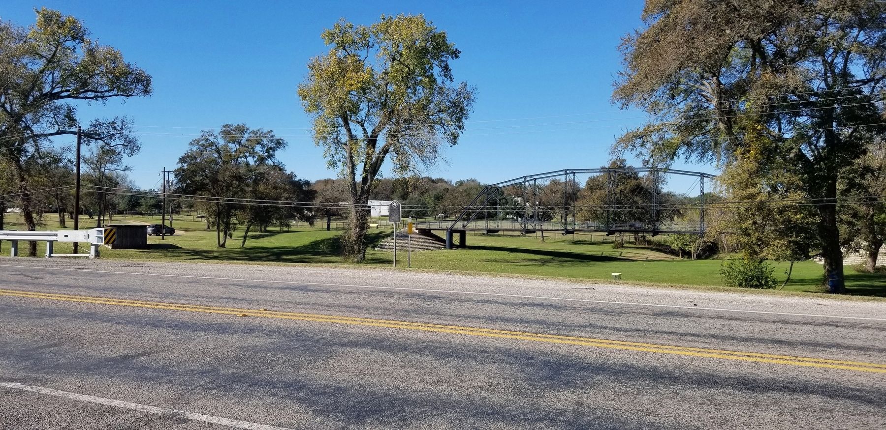
Location. 29° 30.51′ N, 97° 25.756′ W. Marker is in Gonzales, Texas, in Gonzales County. Marker is on Saint Louis Street (State Highway 146) 0.1 miles east of Lions Club Drive, on the left when traveling east. The marker is located in the eastern section of the Gonzales City Park next to the highway. Touch for map. Marker is in this post office area: Gonzales TX 78629, United States of America. Touch for directions.
Other nearby markers. At least 8 other markers are within walking distance of this marker. David Burkett (within shouting distance of this marker); Texas Historic Bridge (about 300 feet away, measured in a direct line); Oak Forest Bridge (about 300 feet away); Kerr's Settlement (about 600 feet away); 1825 Kerr's Settlement (about 600 feet away); Company L, First Texas Infantry (approx. 0.4 miles away); "The Great War" (approx. 0.4 miles away); "We Shall Not Forget" (approx. 0.4 miles away). Touch for a list and map of all markers in Gonzales.
Also see . . . Kerr Creek.
Kerr Creek rises two miles northeast of Gonzales in central Gonzales County (at 29°34' N, 97°26' W) and flows southeast for eight miles to its mouth on the Guadalupe River, a mile southeast of Gonzales (at 29°29' N, 97°25' W). It runs through flat terrain, with local shallow depressions, surfaced by alkaline to calcareous clay soil that supports mixed hardwoods and pines. Source: The Handbook of Texas(Submitted on December 6, 2021, by James Hulse of Medina, Texas.)
Credits. This page was last revised on December 6, 2021. It was originally submitted on December 6, 2021, by James Hulse of Medina, Texas. This page has been viewed 174 times since then and 19 times this year. Photos: 1, 2, 3. submitted on December 6, 2021, by James Hulse of Medina, Texas.


