Near Lake Montezuma in Yavapai County, Arizona — The American Mountains (Southwest)
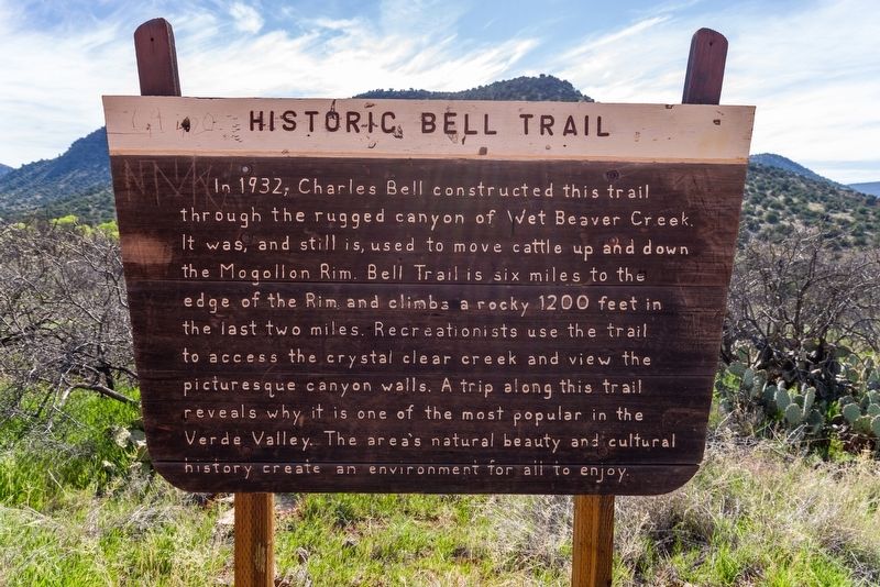
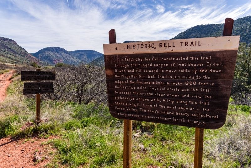
Historic Bell Trail
Inscription.
In 1932, Charles Bell constructed this trail through the rugged canyon of Wet Beater Creek. It was, and still is, used to move cattle up and down the Mogollon Rim. Bell Trail is six miles to the edge of the Rim and climbs a rocky 1200 feet in the last two miles. Recreationists use the trail to access the crystal clear creek and view the picturesque canyon walls. A trip along this trail reveals why it is one of the most popular in the Verde Valley. The area's natural beauty and cultural history create an environment for all to enjoy.
Erected by U.S. Forest Service.
Topics. This historical marker is listed in these topic lists: Animals • Parks & Recreational Areas • Roads & Vehicles. A significant historical year for this entry is 1932.
Location. 34° 40.498′ N, 111° 42.622′ W. Marker is near Lake Montezuma, Arizona, in Yavapai County. Marker can be reached from Nf618A east of Forest Road 618. Marker is on Bell Trail No. 13, approximately 1,000 feet from the trailhead, in Coconino National Forest. Touch for map. Marker is in this post office area: Rimrock AZ 86335, United States of America. Touch for directions.
Other nearby markers. At least 8 other markers are within 9 miles of this marker, measured as the crow flies. Beaver Head Stage Station (approx. 4.9 miles away); Chaves Historic Trail (approx. 5.8 miles away); Macaw Pen Stone? (approx. 8.6 miles away); Welcome to The Castle (approx. 8.6 miles away); The Community (approx. 8.6 miles away); The Way Up / Construction Sequence (approx. 8.7 miles away); The People Next Door (approx. 8.7 miles away); The Neighborhood / Mysterious Departures (approx. 8.7 miles away).
Also see . . . Bell Trail No. 13. Details and photographs of the trail route. (U.S Forest Service) (Submitted on December 6, 2021, by Duane and Tracy Marsteller of Murfreesboro, Tennessee.)
Credits. This page was last revised on December 6, 2021. It was originally submitted on December 6, 2021, by Duane and Tracy Marsteller of Murfreesboro, Tennessee. This page has been viewed 489 times since then and 47 times this year. Photos: 1, 2. submitted on December 6, 2021, by Duane and Tracy Marsteller of Murfreesboro, Tennessee.

