Near Schusters Place in Madison County, Montana — The American West (Mountains)
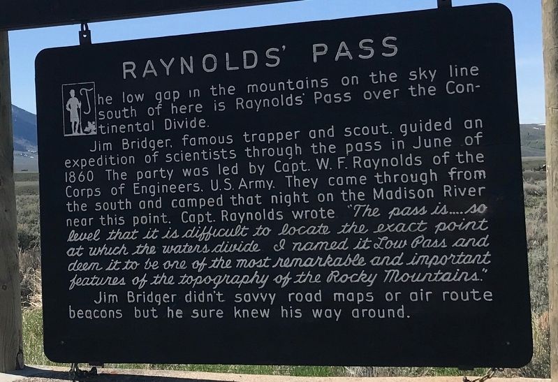
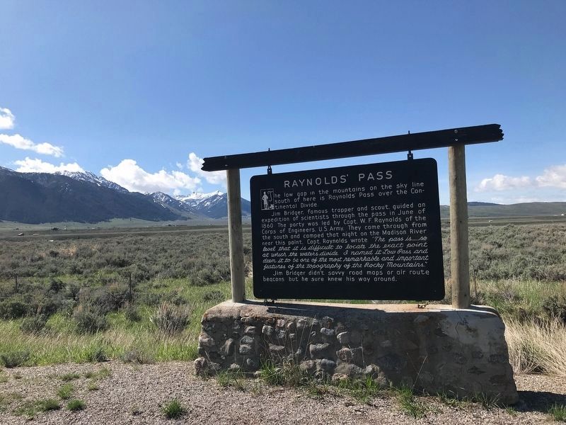
Raynolds' Pass
Jim Bridger, famous trapper and scout, guided an expedition of scientists through the pass in June of 1860. The party was led by Capt. W. F. Raynolds of the Corps of Engineers, U.S. Army. They came through from the south and camped that night on the Madison River near this point. Capt. Raynolds wrote “The pass is … so level that it is difficult to locate the exact point at which the waters divide. I named it Low Pass and deem it to be one of the most remarkable and important features of the topography of the Rocky Mountains.”
Jim Bridger didn't savvy road maps or air route beacons but he sure knew his way around.
Topics. This historical marker is listed in these topic lists: Environment • Exploration • Science & Medicine. A significant historical month for this entry is June 1860.
Location. 44° 49.676′ N, 111° 28.071′ W. Marker is near Schusters Place, Montana, in Madison County. Marker is on U.S. 287, one mile east of State Road 87, on the right when traveling east. Touch for map. Marker is in this post office area: Cameron MT 59720, United States of America. Touch for directions.
Other nearby markers. At least 8 other markers are within 8 miles of this marker, measured as the crow flies. The Seismic Shake that Shaped this Lake (approx. 4.1 miles away); Refuge Point (approx. 6.1 miles away); The Night the Earth Cracked (approx. 6.9 miles away); A Leap Just in Time (approx. 7.2 miles away); Something is terribly wrong (approx. 7.3 miles away); The Lake that Tilted (approx. 7.3 miles away); Sleep Interrupted (approx. 7.3 miles away); Earthquakes! (approx. 8 miles away).
Credits. This page was last revised on December 6, 2021. It was originally submitted on December 6, 2021, by Duane and Tracy Marsteller of Murfreesboro, Tennessee. This page has been viewed 393 times since then and 46 times this year. Photos: 1, 2. submitted on December 6, 2021, by Duane and Tracy Marsteller of Murfreesboro, Tennessee.

