Pemberville in Wood County, Ohio — The American Midwest (Great Lakes)
Rodinghausen Point
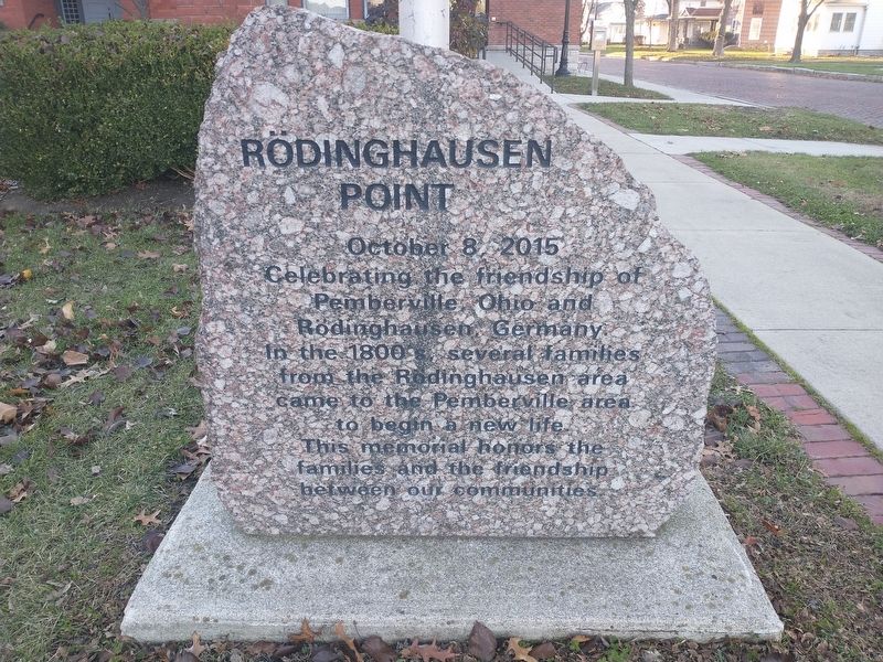
Photographed by Craig Doda, December 4, 2021
1. Rodinghausen Point Marker
Topics. This historical marker is listed in this topic list: Notable Events. A significant historical date for this entry is October 8, 2015.
Location. 41° 24.583′ N, 83° 27.659′ W. Marker is in Pemberville, Ohio, in Wood County. It is at the intersection of W. Front Street and Main Street, on the right when traveling west on W. Front Street. Touch for map. Marker is in this post office area: Pemberville OH 43450, United States of America. Touch for directions.

Regionally, this marker is in the Black Swamp, in the Till Plains, and in the Toledo Metropolitan Area. It is also in the American Midwest and in the Corn Belt. Globally, it is in North America, on the Great Lakes, in the Western Hemisphere, in the Western World, and in the Anglosphere. Historically, it finds itself in what was once the Haudenosaunee (Iroquois) Confederacy, the territory of the
this page online
Other nearby markers. At least 8 other markers are within walking distance of this marker: Pemberville Town Hall and Opera House (here, next to this marker); Captain Elihu H. Mason (within shouting distance of this marker); This Cross (approx. 0.2 miles away); Pemberville (approx. ¼ mile away); a different marker also named Pemberville (approx. ¼ mile away); Freedom Post 183 WWI Memorial (approx. 0.3 miles away); Freedom Post 183 (approx. 0.3 miles away); The 17th Flag (approx. 0.3 miles away). Touch for a list and map of all markers in Pemberville.
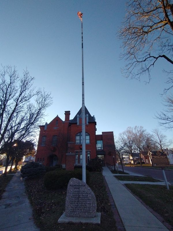
Photographed by Craig Doda, December 4, 2021
2. Rodinghausen Point Marker
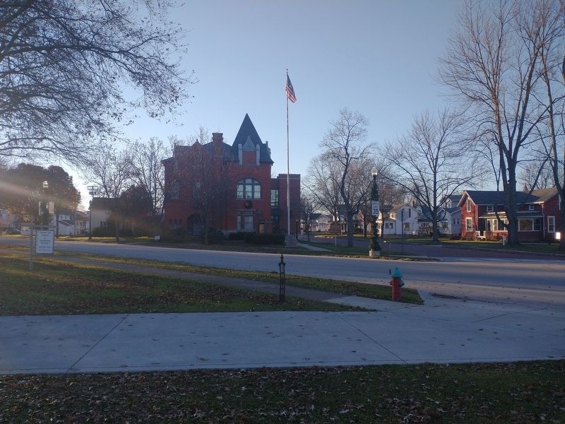
Photographed by Craig Doda, December 4, 2021
3. Rodinghausen Point Marker
Credits. This page was last revised on December 7, 2021. It was originally submitted on December 7, 2021, by Craig Doda of Napoleon, Ohio. This page has been viewed 343 times since then and 26 times this year. Photos: 1, 2, 3. submitted on December 7, 2021, by Craig Doda of Napoleon, Ohio. • J. Makali Bruton was the editor who published this page.
