Ansley Park in Atlanta in Fulton County, Georgia — The American South (South Atlantic)
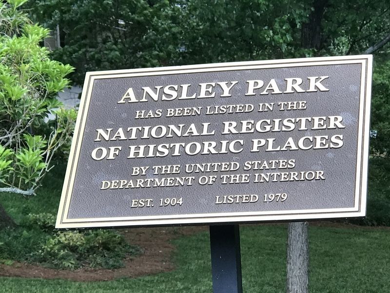
Ansley Park
National Register
of Historic Places
by the United States
Department of the Interior
Est. 1904 • Listed 1979
Topics. This historical marker is listed in this topic list: Parks & Recreational Areas. A significant historical year for this entry is 1904.
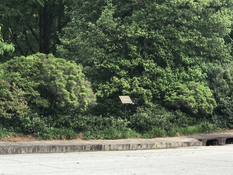
Location. 33° 47.425′ N, 84° 22.971′ W. Marker is in Atlanta, Georgia, in Fulton County. It is in Ansley Park. Marker is on Peachtree Circle NE north of Lafayette Drive NE, on the right when traveling north. Marker is on west edge of Winn Park between Lafayette Drive NE and Westminster Drive NE. Touch for map. Marker is at or near this postal address: 56 Peachtree Cir NE, Atlanta GA 30309, United States of America. Touch for directions.
Other nearby markers. At least 8 other markers are within walking distance of this marker. 61 16th Street Apartment Building (about 500 feet away, measured in a direct line); The Castle (approx. 0.2 miles away); Margaret Mitchell (approx. ¼ mile away); Atlanta Woman's Club (approx. 0.3 miles away); Habersham Memorial Hall (approx. 0.3 miles away); Second Oldest D.A.R. Chapter (approx. 0.3 miles away); Booker T. Washington (approx. 0.4 miles away); Cotton States Exposition of 1895 (approx. 0.4 miles away). Touch for a list and map of all markers in Atlanta.
Regarding Ansley Park. Excerpt from the National Register nomination:
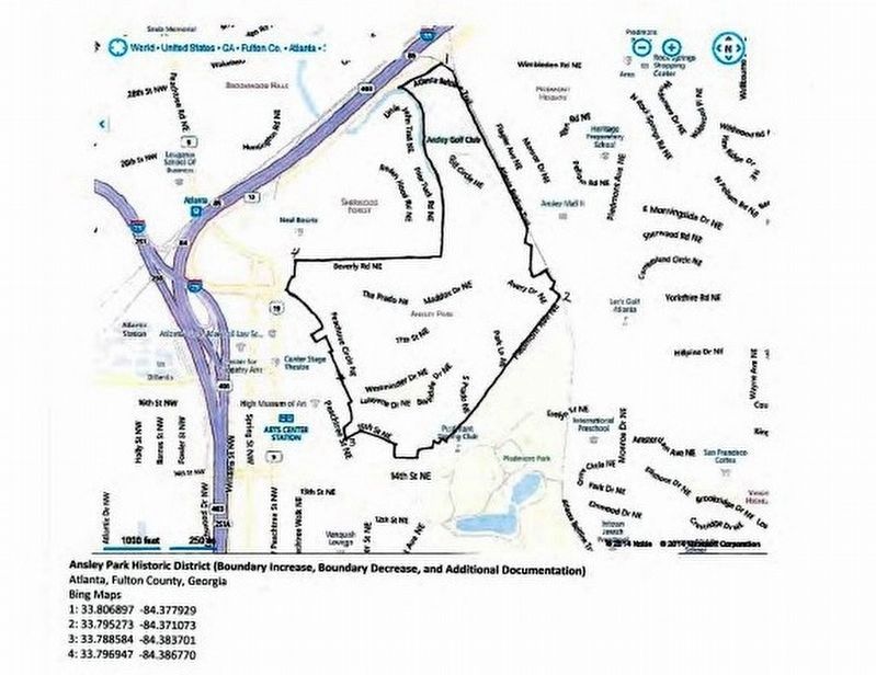
The Ansley Park Historic District is a 337-acre, planned residential neighborhood located north of downtown Atlanta. The neighborhood is characterized by meandering streets that follow the natural topography. Completely platted by 1934, the neighborhood includes single-family houses, multi-family residential buildings, the First Church of Christ, Scientist (1913), the Ansley Park Golf Club (1912), and interconnected parks. The district has a large number of early to mid-20th-century brick, frame, and stone buildings that represent a variety of building types and styles.…
Also see . . . Ansley Park Historic District. Overview of the historic neighborhood and the variety of architecture within it. (National Park Service) (Submitted on December 8, 2021, by Duane and Tracy Marsteller of Murfreesboro, Tennessee.)

via NPS, unknown
3. Ansley Park - Boundary Increase, Boundary Decrease and Additional Documentation
National Register of Historic Places Registration Form
Click for more information.
Click for more information.
Credits. This page was last revised on February 8, 2023. It was originally submitted on December 7, 2021, by Duane and Tracy Marsteller of Murfreesboro, Tennessee. This page has been viewed 215 times since then and 23 times this year. Photos: 1. submitted on December 7, 2021, by Duane and Tracy Marsteller of Murfreesboro, Tennessee. 2. submitted on May 11, 2022, by Duane and Tracy Marsteller of Murfreesboro, Tennessee. 3. submitted on December 9, 2021, by Larry Gertner of New York, New York.

