Albia in Monroe County, Iowa — The American Midwest (Upper Plains)
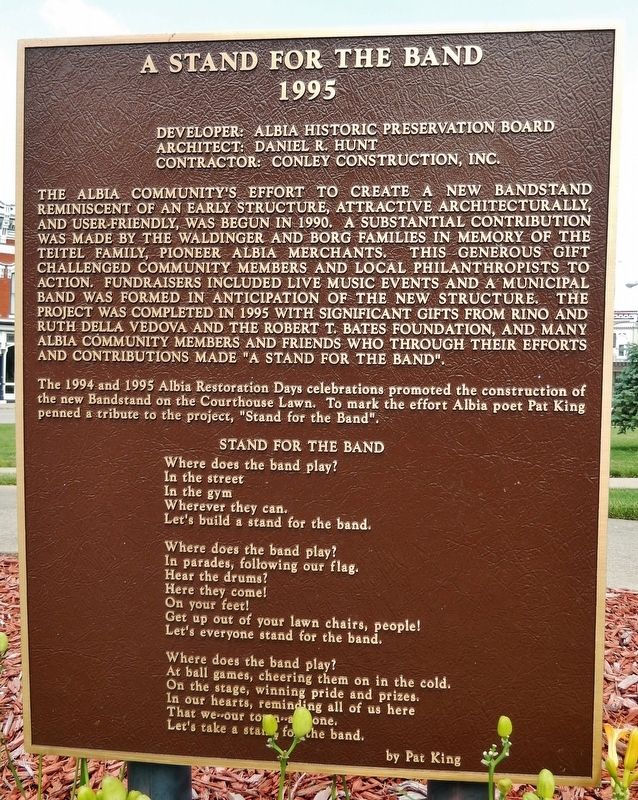
A Stand for the Band
1995
Developer: Albia Historic Preservation Board
Architect: Daniel R. Hunt
Contractor: Conley Construction, Inc.
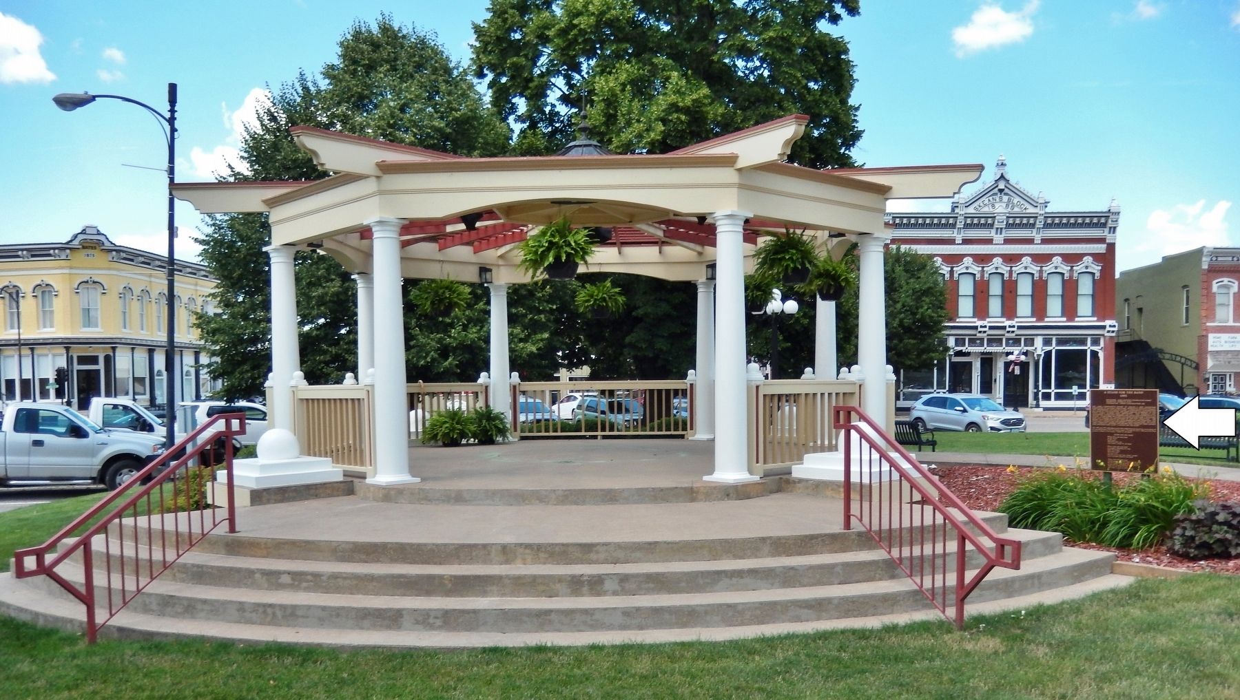
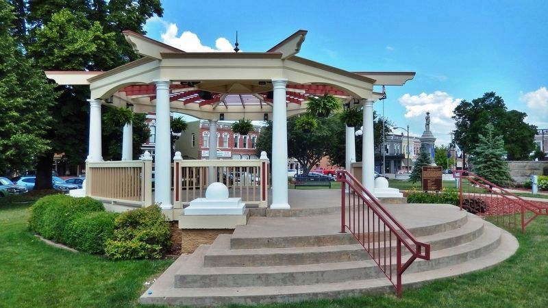
The Albia community’s effort to create a new bandstand reminiscent of an early structure, attractive architecturally, and user-friendly, was begun in 1990. A substantial contribution was made by the Waldinger and Borg families in memory of the Teitle family, pioneer Albia merchants. This generous gift challenged community members and local philanthropists to action. Fundraisers included live music events and a municipal band was formed in anticipation of the new structure. The project was completed in 1995 with significant gifts from Rino and Ruth Della Vedova and the Robert T. Bates Foundation, and many Albia community members and friends who through their efforts and contributions made “A Stand for the Band”.
The 1994 and 1995 Albia Restoration Days celebrations promoted the construction of the new Bandstand on the Courthouse Lawn. To mark the effort Albia poet Pat King penned a tribute to the project, “Stand for the Band”.
Stand for the Band
Where does the band play?
In the street
In the gym
Wherever they can.
Let’s build a stand for the band.
Where does the band play?
In parades, following our flag.
Hear the drums?
Here they come!
On your feet!
Get up out of your lawn chairs, people!
Let’s everyone stand for the band.
Where does the band play?
At ball games, cheering them on in the cold.
On the stage, winning pride and prizes.
In our hearts, reminding all of us here
That we — our town — are one.
Let’s take a stand for the band.
—by Pat King
Topics. This historical marker is listed in these topic lists: Architecture • Arts, Letters, Music • Charity & Public Work • Parks & Recreational Areas. A significant historical year for this entry is 1995.
Location. 41° 1.607′ N, 92° 48.481′ W. Marker is in Albia, Iowa, in Monroe County. Marker can be reached from South Clinton Street just south of Benton Avenue East (County Road H35), on the left when traveling south. Marker and bandstand are located near the northwest corner of the Monroe County Courthouse. Touch for map. Marker is at or near this postal address: 10 Benton Avenue East, Albia IA 52531, United States of America. Touch for directions.
Other nearby markers. At least 8 other markers are within walking distance of this marker. William Moon & Son / James Phenney Building (within shouting distance of this marker); Monroe County Courthouse (within shouting distance of this marker); Albia Square and Commercial Historic District (within shouting distance of this marker); Fish & Elliot / Duncan Building (within shouting distance of this marker);
Albia State Bank Building (within shouting distance of this marker); Odd Fellows Temple (within shouting distance of this marker); Monroe County Civil War Monument (within shouting distance of this marker); Miller-Loeb Block (within shouting distance of this marker). Touch for a list and map of all markers in Albia.
Regarding A Stand for the Band. Contributing property, Albia Square and Central Commercial Historic District, NRHP #85000007.
Related markers. Click here for a list of markers that are related to this marker. Albia Square and Central Commercial Historic District
Credits. This page was last revised on December 12, 2021. It was originally submitted on December 7, 2021, by Cosmos Mariner of Cape Canaveral, Florida. This page has been viewed 81 times since then and 8 times this year. Photos: 1, 2, 3. submitted on December 8, 2021, by Cosmos Mariner of Cape Canaveral, Florida.


