Hendersonville in Henderson County, North Carolina — The American South (South Atlantic)
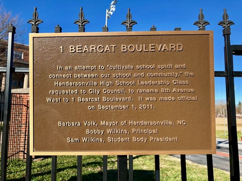
1 Bearcat Boulevard
Warren LeMay via Flickr/Public domain, January 5, 2019
1. 1 Bearcat Boulevard Marker
Bobby Wilkins, Principal
Sam Wilkins, Student Body President
Topics. This historical marker is listed in these topic lists: Education • Roads & Vehicles. A significant historical date for this entry is September 1, 2011.
Location. 35° 19.262′ N, 82° 27.821′ W. Marker is in Hendersonville, North Carolina, in Henderson County. It is on Bearcat Boulevard west of North Church Street, on the right when traveling west. Marker is at the corner of an iron fence between the school building and athletic field. Touch for map. Marker is at or near this postal address: 1 Bearcat Blvd, Hendersonville NC 28792, United States of America. Touch for directions.

Regionally, this marker is in the Mountains and in Greater Asheville. It is also in the American South, specifically in the Upper South, in Appalachia, and specifically in Southern Appalachia.
this page online
Other nearby markers. At least 8 other markers are within walking distance of this marker: Hendersonville High School (about 600 feet away, measured in a direct line); Judson College (approx. 0.2 miles away); Syndicate Building (approx. ¼ mile away); Clarke Hardware Building (approx. ¼ mile away); Hunter Building (approx. 0.3 miles away); Kirk Building (approx. 0.3 miles away); Commercial Bank Building (approx. 0.3 miles away); Queen Theater (approx. 0.3 miles away). Touch for a list and map of all markers in Hendersonville.
Warren LeMay via Flickr/Public domain, January 5, 2019
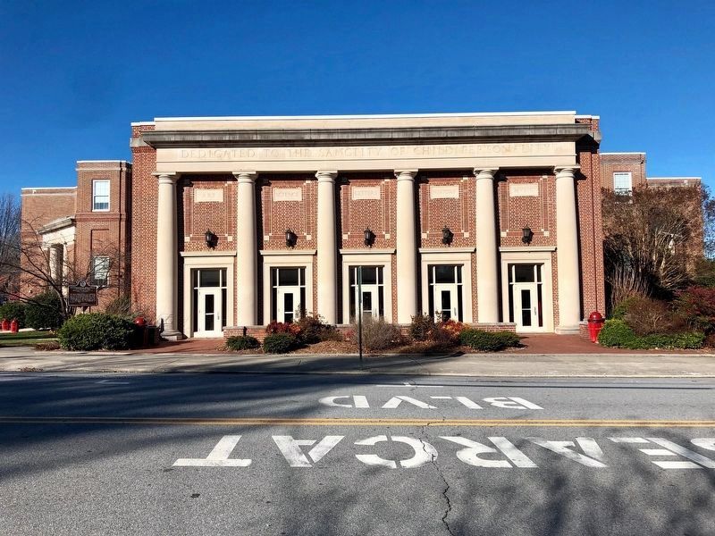
2. Hendersonville High School
The street's name is painted in large letters on the asphalt in front of the main school building.
Credits. This page was last revised on December 9, 2021. It was originally submitted on December 9, 2021, by Duane and Tracy Marsteller of Murfreesboro, Tennessee. This page has been viewed 321 times since then and 35 times this year. Photos: 1, 2. submitted on December 9, 2021, by Duane and Tracy Marsteller of Murfreesboro, Tennessee.
