Albia in Monroe County, Iowa — The American Midwest (Upper Plains)
20-24 South Main Street
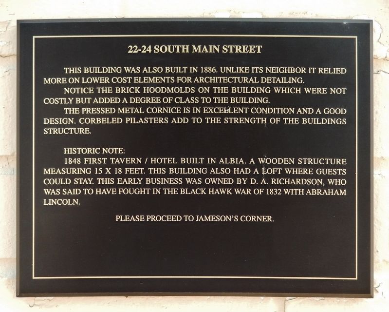
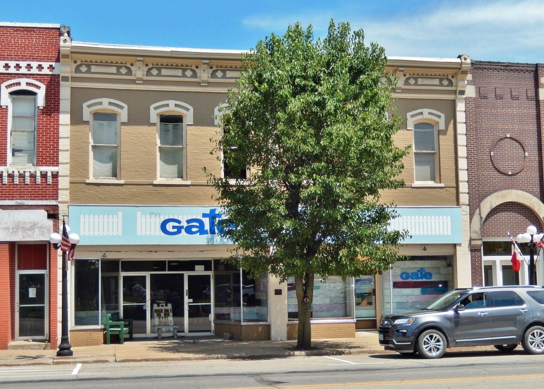
This building was also built in 1886. Unlike its neighbor it relied more on lower cost elements for architectural detailing.
Notice the brick hoodmolds on the building which were not costly but added a degree of class to the building.
The pressed metal cornice is in excellent condition and a good design. Corbeled pilasters add to the strength of the building’s structure.
Historic Note:
1848 first tavern/hotel built in Albia. A wooden structure measuring 15 X 18 feet. This building also had a loft where guests could stay. This early business was owned by D. A. Richardson, who was said to have fought in the Black Hawk War of 1832 with Abraham Lincoln.
Topics and series. This historical marker is listed in these topic lists: Architecture • Churches & Religion • Industry & Commerce • Wars, US Indian. In addition, it is included in the Former U.S. Presidents: #16 Abraham Lincoln series list. A significant historical year for this entry is 1886.
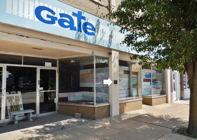
Location. 41° 1.585′ N, 92° 48.417′ W. Marker is in Albia, Iowa, in Monroe County. Marker is on South Main Street north of Washington Avenue East, on the right when traveling north. Marker is mounted at eye-level on the column at the center of the west façade. Touch for map. Marker is at or near this postal address: 22 South Main Street, Albia IA 52531, United States of America. Touch for directions.
Other nearby markers. At least 8 other markers are within walking distance of this marker. 18-20 South Main Street (a few steps from this marker); 14 South Main Street (within shouting distance of this marker); E. W. Byers Building (within shouting distance of this marker); Albia Freedom Rock Veterans Memorial (within shouting distance of this marker); 8-10 South Main Street (within shouting distance of this marker); 20-22 Washington Avenue East (within shouting distance of this marker); Albia Square and Commercial Historic District (within shouting distance of this marker); Monroe County Courthouse (within shouting distance of this marker). Touch for a list and map of all markers in Albia.
Regarding 20-24 South Main Street. Contributing property, Albia Square and Central Commercial Historic District, NRHP #85000007. Currently houses the Gate Community Church of Albia.
Related markers. Click here for a list of markers that are related to this marker. Albia Square and Central Commercial Historic District
Also see . . . Black Hawk War.
The Black Hawk War was a conflict between the United States and Native Americans led by Black Hawk, a Sauk leader. The war erupted after Black Hawk and a group of Sauks, Meskwakis (Fox), and Kickapoos, known as the "British Band", crossed the Mississippi River, into the U.S. state of Illinois, from Iowa Indian Territory in April 1832. The Black Hawk War gave Abraham Lincoln his brief military service, although he saw no combat. The war gave impetus to the U.S. policy of Indian removal, in which Native American tribes were pressured to sell their lands and move west of the Mississippi River to reside.(Submitted on December 9, 2021, by Cosmos Mariner of Cape Canaveral, Florida.)
Credits. This page was last revised on December 12, 2021. It was originally submitted on December 9, 2021, by Cosmos Mariner of Cape Canaveral, Florida. This page has been viewed 175 times since then and 13 times this year. Photos: 1, 2, 3. submitted on December 9, 2021, by Cosmos Mariner of Cape Canaveral, Florida.


