Near Sparwood in East Kootenay, British Columbia — Canada’s West Coast (North America)
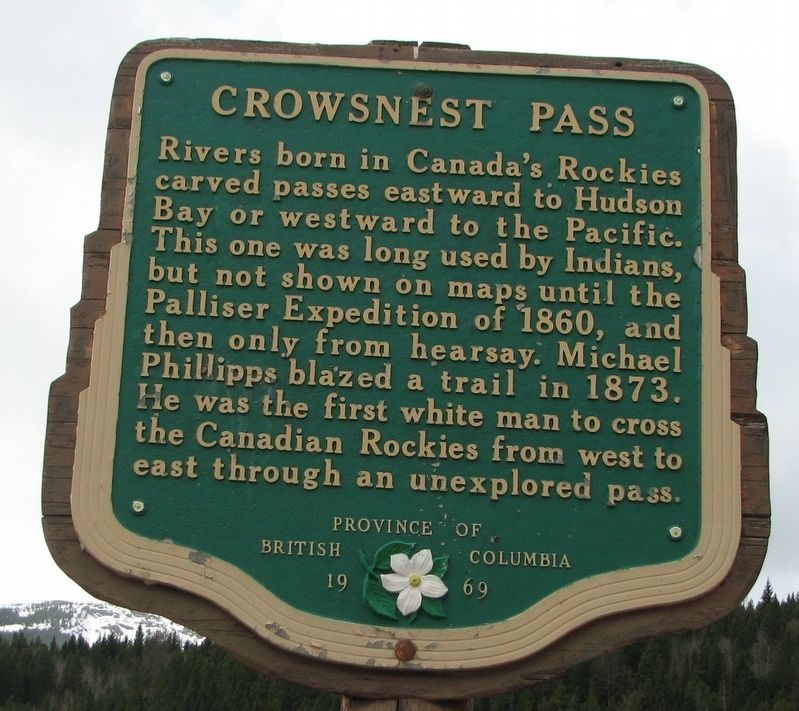
Crowsnest Pass

B.C. Ministry of Transportation and Infrastructure via Flickr (CC BY-NC-ND 2.0), April 13, 2016
1. Crowsnest Pass Marker
Erected 1969 by Province of British Columbia.
Topics. This historical marker is listed in these topic lists: Environment • Exploration • Native Americans. A significant historical year for this entry is 1873.
Location. 49° 38.369′ N, 114° 41.658′ W. Marker is near Sparwood, British Columbia, in East Kootenay. Marker is on Crowsnest Highway (Provincial Highway 3) 0.8 kilometers north of British Columbia-Alberta boundary line, on the left when traveling west. Marker is in a small pulloff on the eastbound side. Touch for map. Marker is in this post office area: Sparwood BC V0B 2G0, Canada. Touch for directions.
Other nearby markers. At least 2 other markers are within 16 kilometers of this marker, measured as the crow flies. Natal, Michel and Middletown (1898-1976) (approx. 13.7 kilometers away); George Mercer Dawson (1849-1901) (approx. 14.7 kilometers away).
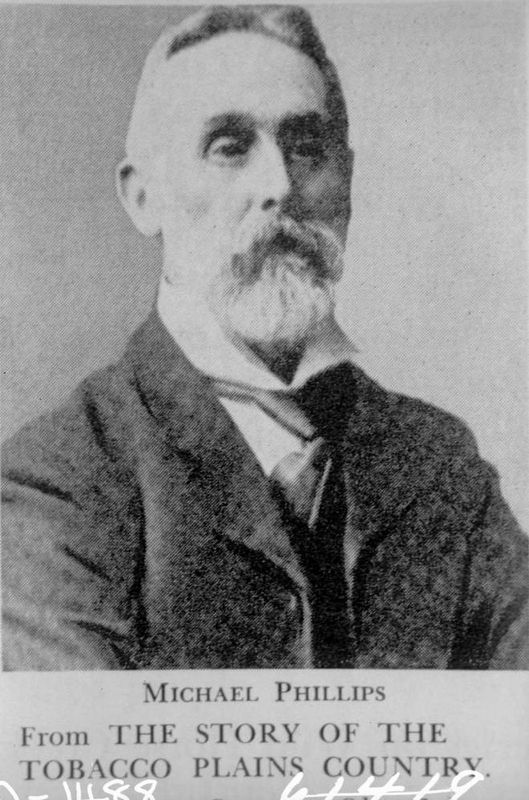
Also see . . . Michael Phillipps and the Opening of the West . Born to a respected English family, Phillipps craved adventure and found it in Brirtish Columbia. (Jim Cameron, Cranbrook Daily Townsman, posted Feb. 6, 2015) (Submitted on February 17, 2022, by Duane and Tracy Marsteller of Murfreesboro, Tennessee.)
Credits. This page was last revised on June 14, 2022. It was originally submitted on December 10, 2021, by Duane and Tracy Marsteller of Murfreesboro, Tennessee. This page has been viewed 212 times since then and 19 times this year. Photos: 1. submitted on December 10, 2021, by Duane and Tracy Marsteller of Murfreesboro, Tennessee. 2. submitted on February 17, 2022, by Duane and Tracy Marsteller of Murfreesboro, Tennessee.
Editor’s want-list for this marker. Wide shot of marker and surrounding area in context • Confirm coordinates • Can you help?
