Near Christina Lake in Kootenay Boundary, British Columbia — Canada’s West Coast (North America)
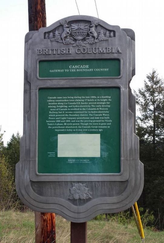
Cascade
Gateway to the Boundary Country

Brittney Crump, B.C. Ministry of Transportation and Infrastructure via Flickr (CC BY-NC-ND 2.0), November 15, 2016
1. Cascade Marker
Erected by Province of British Columbia.
Topics. This historical marker is listed in these topic lists: Natural Features • Railroads & Streetcars • Settlements & Settlers • Waterways & Vessels. A significant historical year for this entry is 1902.
Location. 49° 1.222′ N, 118° 13.058′ W. Marker is near Christina Lake, British Columbia, in Kootenay Boundary. Marker is on British Columbia 395, 0.1 kilometers east of Crowsnest Highway (Provincial Highway 3), on the left when traveling east. Touch for map. Marker is in this post office area: Christina Lake BC V0H 1E0, Canada. Touch for directions.
Other nearby markers. At least 1 other marker is within 5 kilometers of this marker, measured as the crow flies. The Doukhobors (approx. 4.2 kilometers away).
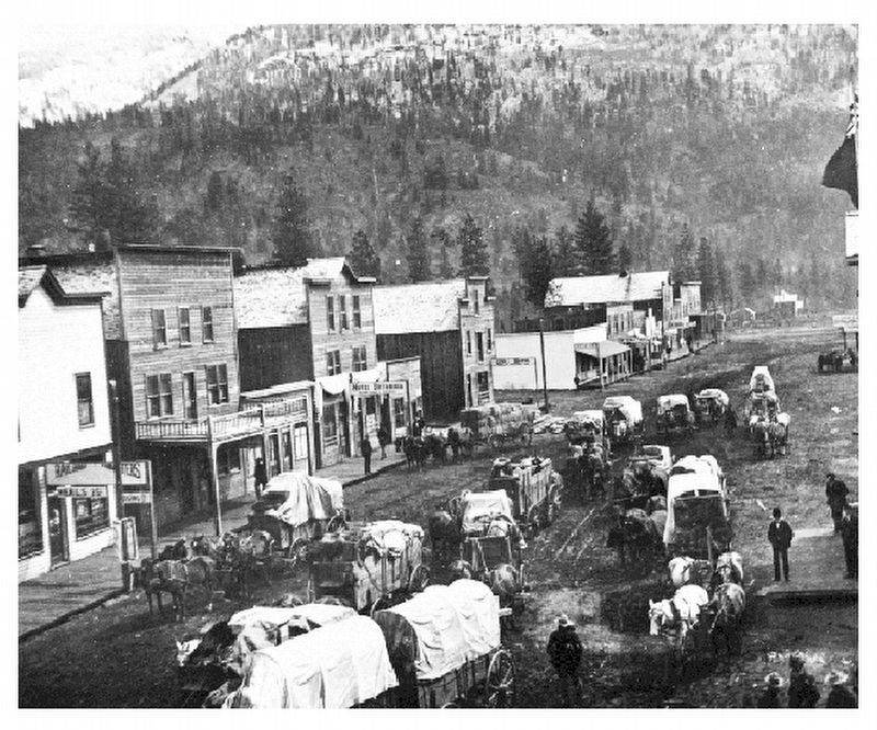
Also see . . . Cascade City. Wikipedia entry on the railroad-construction boom town, whose original site is now a golf course. (Submitted on December 11, 2021, by Duane and Tracy Marsteller of Murfreesboro, Tennessee.)
Credits. This page was last revised on February 11, 2022. It was originally submitted on December 10, 2021, by Duane and Tracy Marsteller of Murfreesboro, Tennessee. This page has been viewed 224 times since then and 22 times this year. Photos: 1. submitted on December 10, 2021, by Duane and Tracy Marsteller of Murfreesboro, Tennessee. 2. submitted on December 11, 2021, by Duane and Tracy Marsteller of Murfreesboro, Tennessee.
Editor’s want-list for this marker. Wide shot of marker and surrounding area in context. • Can you help?
