Near Jasper in Fraser-Fort George, British Columbia — Canada’s West Coast (North America)
Yellowhead Pass

B.C. Ministry of Transportation and Infrastructure via Flickr (CC BY-NC-ND 2.0), June 15, 2016
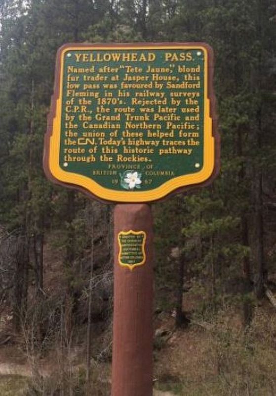
1. Yellowhead Pass Marker
Erected 1967 by Canadian Confederation Centennial Committee of British Columbia.
Topics. This historical marker is listed in these topic lists: Environment • Exploration • Railroads & Streetcars • Roads & Vehicles.
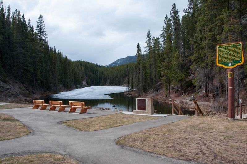
Location. 52° 52.931′ N, 118° 27.064′ W. Marker is near Jasper, British Columbia, in Fraser-Fort George. Marker can be reached from the intersection of Yellowhead Highway (Provincial Highway 16) and British Columbia-Alberta boundary line, on the right when traveling west. Marker is in the Portal Lake Rest Area in Mt. Robson Provincial Park. Touch for map. Marker is in this post office area: Jasper BC V0E 2Z0, Canada. Touch for directions.
Other nearby markers. At least 1 other marker is within walking distance of this marker. The Yellowhead Pass / Le col Tête-Jaune (here, next to this marker).
Also see . . . Yellowhead Pass . Wikipedia article on the pass, believed to have been named for Pierre Bostonais (nicknamed Tête Jaune, French for "yellow head"), an Iroquois-Métis trapper employed by the Hudson's Bay Company as a guide. (Submitted on December 12, 2021, by Duane and Tracy Marsteller of Murfreesboro, Tennessee.)
Credits. This page was last revised on July 21, 2022. It was originally submitted on December 10, 2021, by Duane and Tracy Marsteller of Murfreesboro, Tennessee. This page has been viewed 142 times since then and 9 times this year. Photos: 1. submitted on December 10, 2021, by Duane and Tracy Marsteller of Murfreesboro, Tennessee. 2. submitted on December 12, 2021, by Duane and Tracy Marsteller of Murfreesboro, Tennessee.
