Near Kamloops in Thompson-Nicola, British Columbia — Canada’s West Coast (North America)
Steamboat Saga
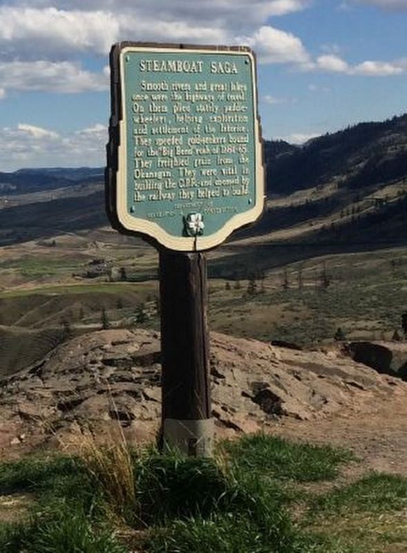
B.C. Ministry of Transportation and Infrastructure via Flickr (CC BY-NC-ND 2.0), June 15, 2016
1. Steamboat Saga Marker
Erected by British Columbia Department of Recreation and Conservation.
Topics. This historical marker is listed in these topic lists: Industry & Commerce • Railroads & Streetcars • Waterways & Vessels. A significant historical year for this entry is 1864.
Location. 50° 45.024′ N, 120° 43.58′ W. Marker is near Kamloops, British Columbia, in Thompson-Nicola. It is on Trans-Canada Highway (Provincial Highway 1) 3.4 kilometers north of Holloway Drive, on the right when traveling north. Marker is in the Kamloops Lake View Point picnic area. Touch for map. Marker is in this post office area: Kamloops BC V0K, Canada. Touch for directions.

Regionally, this marker is in the BC Interior and in Thompson-Okanagan. Globally, it is in North America, on the Ring of Fire,
this page online
Also see . . . Forty-Nine (steamboat). Wikipedia entry on the steamer, built to capitalize on the Big Bend Gold Rush. (Submitted on February 10, 2022, by Duane and Tracy Marsteller of Murfreesboro, Tennessee.)
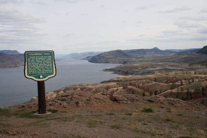
© Murray Lundberg (used by permission), April 21, 2008
2. Steamboat Saga Marker
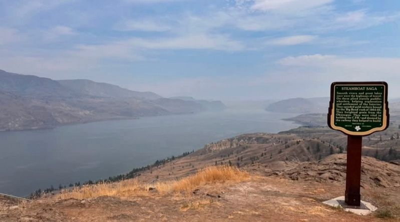
Photographed by Colby Emerson, July 31, 2026
3. Steamboat Saga Marker
Credits. This page was last revised on August 6, 2026. It was originally submitted on December 10, 2021, by Duane and Tracy Marsteller of Murfreesboro, Tennessee. This page has been viewed 952 times since then and 117 times this year. Photos: 1. submitted on December 10, 2021, by Duane and Tracy Marsteller of Murfreesboro, Tennessee. 2. submitted on February 24, 2022, by Duane and Tracy Marsteller of Murfreesboro, Tennessee. 3. submitted on August 2, 2026, by Jimmy Emerson of Dalton, Georgia.
