Near Mayook in East Kootenay, British Columbia — Canada’s West Coast (North America)
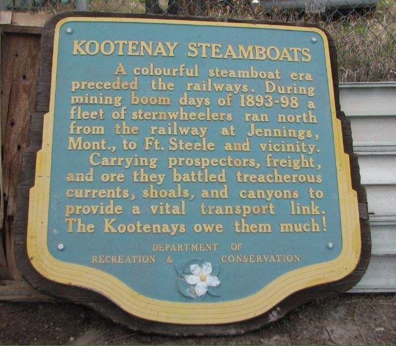
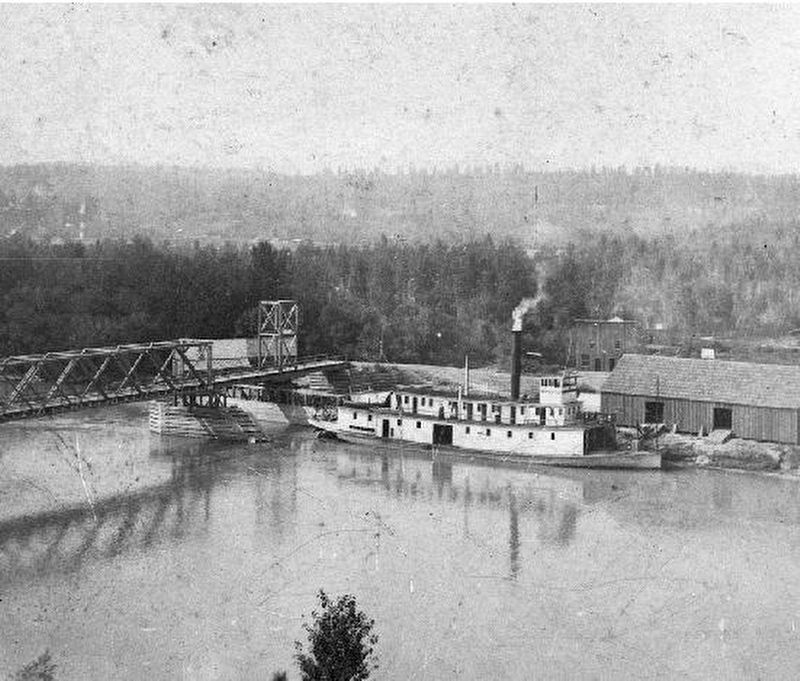
Kootenay Steamboats

B.C. Ministry of Transportation and Infrastructure via Flickr (CC BY-NC-ND 2.0), April 12, 2016
1. Kootenay Steamboats Marker
Carrying prospectors, freight, and ore they battled treacherous currents, shoals, and canyons to provide a vital transportation link. The Kootenays owe them much!
Erected by British Columbia Department of Recreation and Conservation.
Topics. This historical marker is listed in this topic list: Waterways & Vessels. A significant historical year for this entry is 1893.
Location. 49° 28.396′ N, 115° 30.686′ W. Marker is near Mayook, British Columbia, in East Kootenay. Marker is on Kootenay Highway (Provincial Highway 3) 0.8 kilometers east of Ha Ha Creek Road, on the left when traveling south. Marker is in a small pullout. Touch for map. Marker is in this post office area: Mayook BC V0B 2J0, Canada. Touch for directions.
Other nearby markers. At least 2 other markers are within 19 kilometers of this marker, measured as the crow flies. Kootenay River and Lumber Mills (approx. 9.1 kilometers away); Fort Steele (approx. 18 kilometers away).
Credits. This page was last revised on February 15, 2022. It was originally submitted on December 10, 2021, by Duane and Tracy Marsteller of Murfreesboro, Tennessee. This page has been viewed 92 times since then and 3 times this year. Photos: 1. submitted on December 10, 2021, by Duane and Tracy Marsteller of Murfreesboro, Tennessee. 2. submitted on February 15, 2022, by Duane and Tracy Marsteller of Murfreesboro, Tennessee.
Editor’s want-list for this marker. Wide shot of marker and surrounding area. • Can you help?
