Harpers Ferry in Jefferson County, West Virginia — The American South (Appalachia)
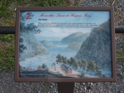
The Point
— Meriwether Lewis at Harpers Ferry —
Topics and series. This historical marker is listed in these topic lists: Exploration • Natural Features. In addition, it is included in the Lewis & Clark Expedition series list. A significant historical year for this entry is 1803.
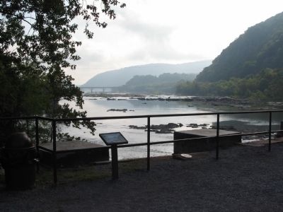
Location. 39° 19.383′ N, 77° 43.716′ W. Marker is in Harpers Ferry, West Virginia, in Jefferson County. Marker can be reached from the intersection of Shenandoah Street (Business U.S. 340) and Potomac Street, on the right when traveling north. Located at an overlook of the confluence of the Potomac and Shenandoah Rivers in Harpers Ferry National Historic Site. Touch for map. Marker is in this post office area: Harpers Ferry WV 25425, United States of America. Touch for directions.
Other nearby markers. At least 8 other markers are within walking distance of this marker. Early Travel (a few steps from this marker); The Race to the Ohio (a few steps from this marker); The Iron Horse Wins (a few steps from this marker); The Mule Falters (a few steps from this marker); Where Three National Trails Meet (a few steps from this marker); Capture of Harpers Ferry (within shouting distance of this marker); a different marker also named Capture of Harpers Ferry (within shouting distance of this marker); a different marker also named Capture of Harpers Ferry (within shouting distance of this marker). Touch for a list and map of all markers in Harpers Ferry.
Credits. This page was last revised on June 16, 2016. It was originally submitted on May 10, 2009, by Craig Swain of Leesburg, Virginia. This page has been viewed 1,100 times since then and 30 times this year. Photos: 1, 2, 3. submitted on May 10, 2009, by Craig Swain of Leesburg, Virginia.


