Near Manning Park in Fraser Valley, British Columbia — Canada’s West Coast (North America)
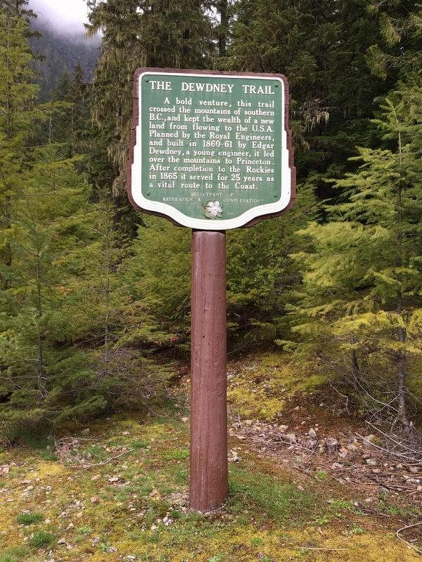
The Dewdney Trail

B.C. Ministry of Transportation and Infrastructure via Flickr (CC BY-NC-ND 2.0)
1. The Dewdney Trail Marker
Erected by British Columbia Department of Recreation and Conservation.
Topics. This historical marker is listed in this topic list: Roads & Vehicles. A significant historical year for this entry is 1865.
Location. 49° 13.841′ N, 121° 3.363′ W. Marker is near Manning Park, British Columbia, in Fraser Valley. Marker can be reached from Crowsnest Highway (Provincial Highway 3) 12.7 kilometers east of E.C. Manning Provincial Park's west entrance gate, on the left when traveling east. Marker is in the Cascade Recreation Area parking lot, at the Dewdney Trail trailhead. Touch for map. Marker is in this post office area: Manning Park BC V0X 1R0, Canada. Touch for directions.
Other nearby markers. At least 1 other marker is within 14 kilometers of this marker, measured as the crow flies. Tashme (approx. 14 kilometers away).
Also see . . .
1. Dewdney Trail. Wikipedia entry on the 450-mile (720-kilometer) trail, which was built to keep gold mined in Canada (and its tax revenue and other economic benefits) from crossing into the United States. The Crowsnest Highway now follows most of the trail route. (Submitted on December 12, 2021, by Duane and Tracy Marsteller of Murfreesboro, Tennessee.)
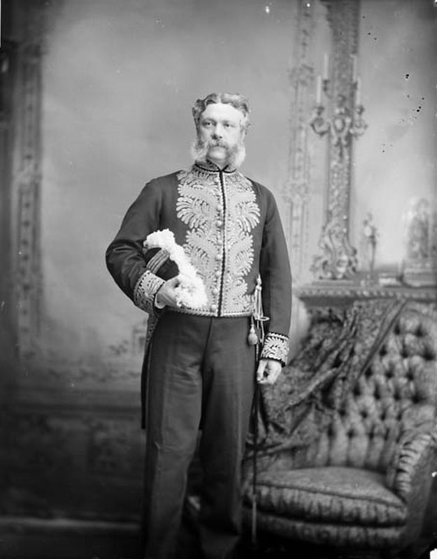
2. Edgar Dewdney. Wikipedia entry on the Canadian surveyor, road builder, Indian commissioner and politician. (Submitted on December 12, 2021, by Duane and Tracy Marsteller of Murfreesboro, Tennessee.)
Credits. This page was last revised on February 11, 2022. It was originally submitted on December 10, 2021, by Duane and Tracy Marsteller of Murfreesboro, Tennessee. This page has been viewed 156 times since then and 9 times this year. Photos: 1. submitted on December 10, 2021, by Duane and Tracy Marsteller of Murfreesboro, Tennessee. 2. submitted on December 12, 2021, by Duane and Tracy Marsteller of Murfreesboro, Tennessee.
Editor’s want-list for this marker. Wide shot of marker and surrounding area in context. • Can you help?
