
Wisconsin Dells in Sauk County, Wisconsin — The American Midwest (Great Lakes)
Wisconsin Dells
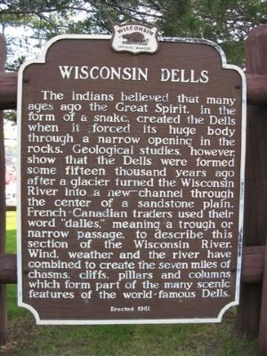
Photographed by Keith L, May 14, 2007
1. Wisconsin Dells Marker
Erected 1961 by the Wisconsin Historical Society. (Marker Number 104.)
Topics and series. This historical marker is listed in this topic list: Natural Features. In addition, it is included in the Wisconsin Historical Society series list.
Location. 43° 37.585′ N, 89° 47.066′ W. Marker is in Wisconsin Dells, Wisconsin, in Sauk County. It can be reached from State Highway 13/16 0.1 miles east
this page online

Regionally, this marker is in Greater Madison. It is also in the American Midwest, in the Corn Belt, and in the Driftless Area — Bluff Country. Globally, it is in North America, the Western Hemisphere, the Western World, and the Anglosphere. Historically, it finds itself in what was once the territory of the Mississippian Culture and also the Northwest Territory.
Other nearby markers. At least 8 other markers are within walking distance of this marker: Stanton Peter Helland (within shouting distance of this marker); Site of Fort Dells (about 700 feet away, measured in a direct line); Kilbourn City (approx. 0.3 miles away); History of the Wisconsin Dells (approx. 0.4 miles away); Geology of the Wisconsin Dells (approx. 0.4 miles away); Bailey’s Eddy – Municipal Dock (approx. 0.4 miles away); Alexander Mitchell Steamboat Anchor (approx. 0.4 miles away); The Railroads (approx. 0.4 miles away). Touch for a list and map
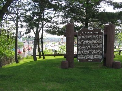
Photographed by Keith L, May 14, 2007
2. Wisconsin Dells Marker
Also see . . . Wisconsin Dells, Wisconsin. Wisconsin Dells was founded as Kilbourn City in 1857... To make it easier for tourists to identify Kilbourn City with the natural landscape it was famous for, the name of the city was changed to Wisconsin Dells. (Submitted on July 28, 2007, by Keith L of Wisconsin Rapids, Wisconsin.)
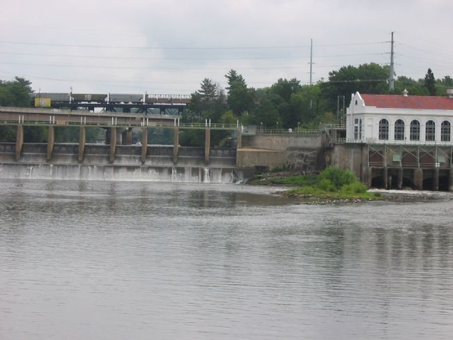
Photographed by Keith L, July 27, 2007
3. Kilbourn Dam in Wisconsin Dells
Marker is near this location. Railroad bridge, highway bridge, hydroelectric dam shown. Wisconsin Valley Improvement Company coordinates the operation of 25 hydroelectric plants on the river and operates 21 reservoirs.
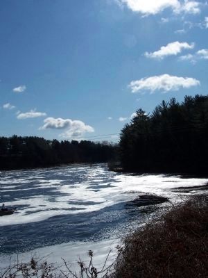
Photographed by M. Bowyer, April 5, 2011
4. Wisconsin River
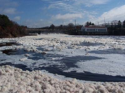
Photographed by M. Bowyer, April 6, 2011
5. Wisconsin River
Credits. This page was last revised on May 30, 2019. It was originally submitted on May 15, 2007, by Keith L of Wisconsin Rapids, Wisconsin. This page has been viewed 3,321 times since then and 97 times this year. Last updated on July 28, 2007, by Keith L of Wisconsin Rapids, Wisconsin. Photos: 1, 2. submitted on May 15, 2007, by Keith L of Wisconsin Rapids, Wisconsin. 3. submitted on July 28, 2007, by Keith L of Wisconsin Rapids, Wisconsin. 4, 5. submitted on April 7, 2011, by M. Bowyer of Indianapolis, Indiana. • J. J. Prats was the editor who published this page.
