Near Colorado City in Pueblo County, Colorado — The American Mountains (Southwest)
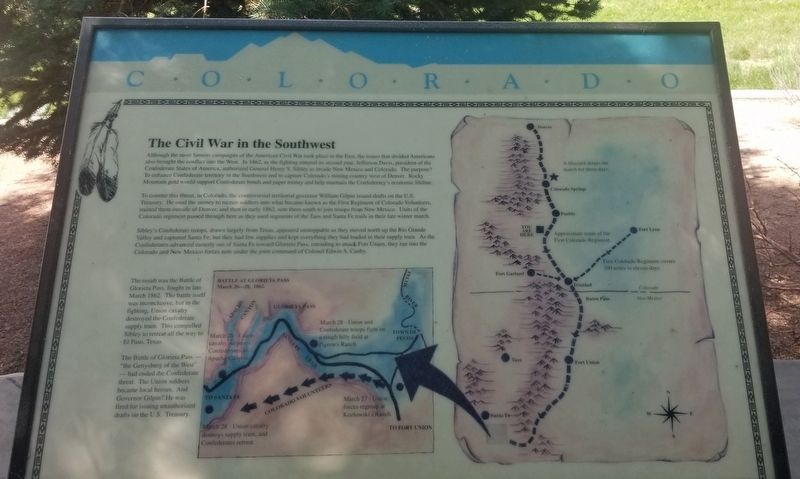
The Civil War in the Southwest
Colorado
To counter this threat, in Colorado, the controversial territorial governor William Gilpin issued drafts on the U.S. Treasury. He used the money to recruit soldiers into what became known as the First Regiment of Colorado Volunteers, trained them outside of Denver, and then in early 1862, sent them south to join troops from New Mexico. Units of the Colorado regiment passed through here as they used segments of the Taos and Santa Fe trails in their late winter march. Sibley's Confederate troops, drawn largely from Texas appeared unstoppable as they moved north up the Rio Grande Valley and captured Santa Fe, but they had few supplies and kept everything they had loaded in their supply train. As the Confederates advanced easterly out of Santa Fe toward Glorieta Pass, intending to attack Font Union, they ran into the Colorado and New Mexico forces now under the joint command of Colonel Edwin S. Canby.
The result was the Battle of Glorieta Pass, fought in late March 1862. The battle itself was inconclusive, but in the fighting, Union cavalry destroyed the Confederate supply train. This compelled Sibley to retreat all the way to El Paso, Texas.
The Battle of Glorieta Pass - "the Gettysburg of the West" - had ended the Confederate threat. The Union soldiers became local heroes. And Governor Gilpin? He was fired for issuing unauthorized drafts on the U.S. Treasury.
Map
Battle of Glorieta Pass
March 26 - 28, 1862.
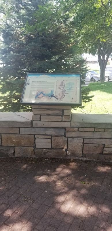
Erected by Colorado Historical Society and Colorado Department of Transportation.
Topics. This historical marker is listed in this topic list: War, US Civil. A significant historical year for this entry is 1862.
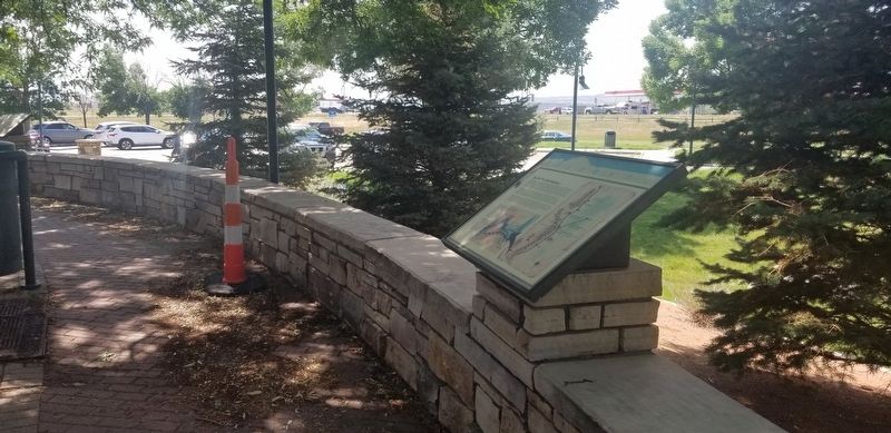
Location. 37° 57.819′ N, 104° 47.833′ W. Marker is near Colorado City, Colorado, in Pueblo County. Marker can be reached from the intersection of State Highway 165 and CanAm Highway (Interstate 25). The marker is located at the Cuerno Verde - Colorado City Rest Area. Touch for map. Marker is in this post office area: Colorado City CO 81019, United States of America. Touch for directions.
Other nearby markers. At least 4 other markers are within 4 miles of this marker, measured as the crow flies. Cuerno Verde (a few steps from this marker); The Story Beneath Your Feet (within shouting distance of this marker); Santa Fe and Taos Trails (within shouting distance of this marker); Greenhorn Creek Bridge (approx. 3.7 miles away).
Also see . . . Battle of Glorieta Pass.
The lower portion of the New Mexico Territory had been largely neglected by both the federal government and the territorial government in Santa Fe. As a result, Confederate sympathy was strong, in hopes of receiving better treatment by the new government. Following secession moves by residents, pp.40–41 Confederate forces seized Mesilla and captured the federal troops there, who made a halfhearted attempt to retreat to Santa Fe. In early 1862 the Confederacy established the Confederate Arizona Territory, which included the southern halves of both modern Arizona and New Mexico. The territorial capital was at Mesilla, some 45 miles (72 km) from El Paso and near today's major city of Las Cruces. The strategic goals were to gain access to the gold and silver mines of California and the Colorado Territory and the seaports in Southern California, and thus evade the Union naval blockade. Source: Wikipedia(Submitted on December 16, 2021, by James Hulse of Medina, Texas.)
Credits. This page was last revised on December 16, 2021. It was originally submitted on December 16, 2021, by James Hulse of Medina, Texas. This page has been viewed 197 times since then and 14 times this year. Photos: 1, 2, 3. submitted on December 16, 2021, by James Hulse of Medina, Texas.


