Guymon in Texas County, Oklahoma — The American South (West South Central)
"Trees" of the Prairie
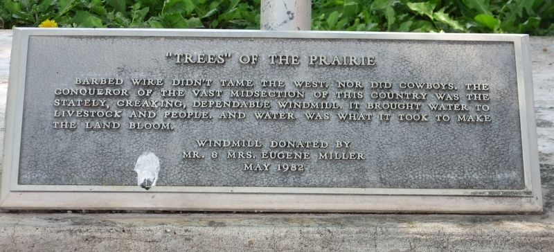
Photographed by Jason Armstrong, July 11, 2021
1. "Trees" of the Prairie Marker
Windmill donated by Mr. & Mrs. Eugene Miller May 1982
Topics and series. This historical marker is listed in these topic lists: Agriculture • Animals • Settlements & Settlers. In addition, it is included in the Windmills series list. A significant historical month for this entry is May 1982.
Location. 36° 40.534′ N, 101° 28.104′ W. Marker is in Guymon, Oklahoma, in Texas County. It is on U.S. 412 east of Perkins Avenue, on the right when traveling west. The marker is located in the No Man's Land Regional Park. Touch for map. Marker is in this post office area: Guymon OK 73942, United States of America. Touch for directions.

Regionally, this marker is in Northwest Oklahoma — Red Carpet Country and in the Oklahoma Panhandle. It is also in the American South, specifically on the prairies, on the Southern Plains, and specifically on the High Plains. Globally, it is in
this page online
Other nearby markers. At least 6 other markers are within walking distance of this marker: Panhandle Area Natural Gas (a few steps from this marker); The Pig (approx. 0.3 miles away); Oil & Gas (approx. 0.3 miles away); Guymon, Texas County, Oklahoma (approx. 0.3 miles away); E.T. Guymon (approx. 0.3 miles away); The Cow (approx. 0.3 miles away).
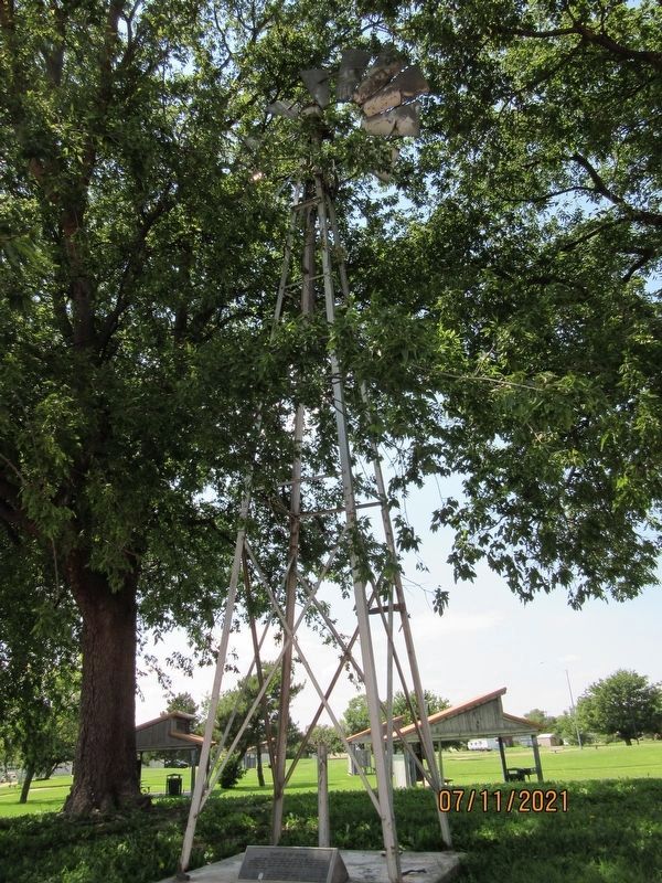
Photographed by Jason Armstrong, July 11, 2021
2. "Trees" of the Prairie Marker and Windmill
Credits. This page was last revised on December 20, 2021. It was originally submitted on December 17, 2021, by Jason Armstrong of Talihina, Oklahoma. This page has been viewed 366 times since then and 32 times this year. Photos: 1, 2. submitted on December 17, 2021, by Jason Armstrong of Talihina, Oklahoma. • J. Makali Bruton was the editor who published this page.
