Near Comfort in Kendall County, Texas — The American South (West South Central)
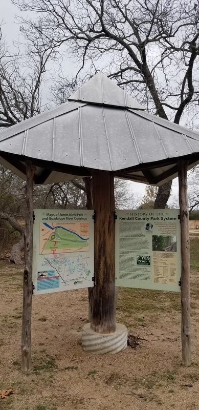
History of the Kendall County Park System
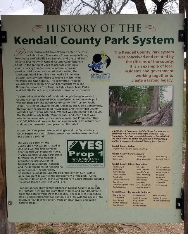
To determine what kinds of parklands people living in Kendall County wanted, in May of 2004, a professional, county-wide poll was conducted by The Nature Conservancy, The Trust for Public Land, The Greater Edwards Aquifer Alliance, and Cibolo Conservancy. Throughout the process local newspapers and the Kendall County website kept citizens informed. When it was presented to the court, The Kendall County Master Plan for Parks and Open Space was adopted unanimously by the commissioners, and Proposition One, a $5,000,000 bond proposal to fund a parks system for natural areas and outdoor recreation, was placed on the ballot.
Proposition One passed overwhelmingly, and the Commissioner's Court began work with citizen research and review teams to find and acquire parkland.
This 25-acre parcel on the Guadalupe River was purchased in 2005 and was the first parkland financed through Proposition One. In 2006, Kendall County Partnership for Parks (KCPP) was formed to promote the preservation of Kendall County's natural heritage and the development of recreational opportunities. The Kronkosky Charitable Foundation supported a proposal from KCPP with a generous grant to assist in the development of the park. At the recommendation of KCPP, the Commissioner's Court officially adopted the name James Kiehl River Bend Park.
Proposition One showed that citizens of Kendall County appreciate their natural heritage and want their children and grandchildren to enjoy the natural wonders of the county. The legacy of Proposition One is a park system that will continue to grow with the needs of the county for outdoor recreation, fresh air, clean rivers, and public natural areas.
The Kendall County Park system was conceived and created by the citizens of the county. It is an example of local residents and government working together to create a lasting legacy.
In 2006, Brent Evans accepted the Texas Environmental Excellence Award for Volunteerism from the Texas Commission for Environmental Quality
on behalf of all the volunteers and public servants who worked long and hard to create the Kendall County Park System:
Kendall County Judges
Gaylan Schroeder and Eddie John Vogt
Kendall County Commissioners
Rusty Busby Darrel Lux John Kight Gene Miertschin Anne Reissig Kenneth Rusch
Kendall County Citizen Committees
Paul Barwick Phillip Bell Jimmy Britton Colin Campbell Ann Dietert Georganna Dillon Brent Evans Carolyn Chipman Evans Paula Hayward Bill Jolly Anne Lambert Jerry McFarlen Linda Manning Mike Morton David Pipes Bitsy Pratt A.C. Schwethel Marian Spence Rufus Stephens Marilyn Tremper Vance Wallace Bill Ward Art Wilson John Woolard Jan Wrede Steve Young
Kendall County Partnership for Parks
Diane Bartlett Dan Basarich John Benedict Sharon Benedict Ron Cisneros Dan Denbow Kristie Denbow Judy Dewey Brent Evans Anne Lambert Ruth McArthur Kristen Scheller Charles Wetherbee
Captions
Center area: Vote Yes Prop 1 - Parks & Natural Areas for Kendall County - This Pol Adv Provided by Kendall County Citizens for Parks and Natural
Erected by Kendall County Partnership for Parks.
Topics. This historical marker is listed in this topic
list: Parks & Recreational Areas. A significant historical month for this entry is May 2004.
Location. 29° 58.354′ N, 98° 50.083′ W. Marker is near Comfort, Texas, in Kendall County. Marker is on River Bend Road, 1.3 miles south of Farm to Market Road 473, on the right when traveling east. The marker is located south of the parking area to the James Kiehi Natural Area. Touch for map. Marker is at or near this postal address: 118 River Bend Road, Comfort TX 78013, United States of America. Touch for directions.
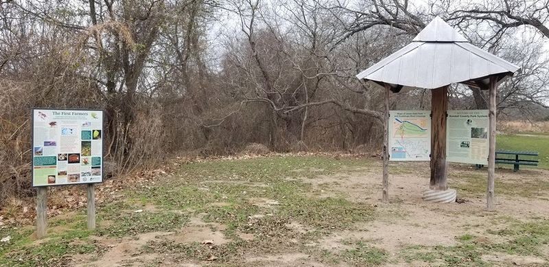
Other nearby markers. At least 8 other markers are within 3 miles of this marker, measured as the crow flies. History of the Railroad (here, next to this marker); Brownsboro Community (here, next to this marker); Army Spc. James M. Kiehl Memorial (within shouting distance of this marker); James Kiehl River Bend Park (within shouting distance of this marker); A Recovering Prairie (within shouting distance of this marker); Brownsboro Methodist Episcopal Church (approx. Ό mile away); Brownsboro Cemetery (approx. 0.3 miles away); Waring Schoolhouse (approx. 2.3 miles away). Touch for a list and map of all markers in Comfort.
Also see . . . Kendall County.
Kendall County is in south central Texas, 170 miles inland from the Gulf of Mexico, and is bordered by Gillespie, Blanco, Comal, Bexar, Bandera, and Kerr counties. Boerne, the county seat, is on Cibolo Creek at the intersection of U.S. Highway 87 and Farm Road 475, thirty miles northwest of San Antonio. Source: The Handbook of Texas(Submitted on December 18, 2021, by James Hulse of Medina, Texas.)
Credits. This page was last revised on December 18, 2021. It was originally submitted on December 18, 2021, by James Hulse of Medina, Texas. This page has been viewed 366 times since then and 14 times this year. Photos: 1, 2, 3. submitted on December 18, 2021, by James Hulse of Medina, Texas.


