Near New Windsor in Carroll County, Maryland — The American Northeast (Mid-Atlantic)
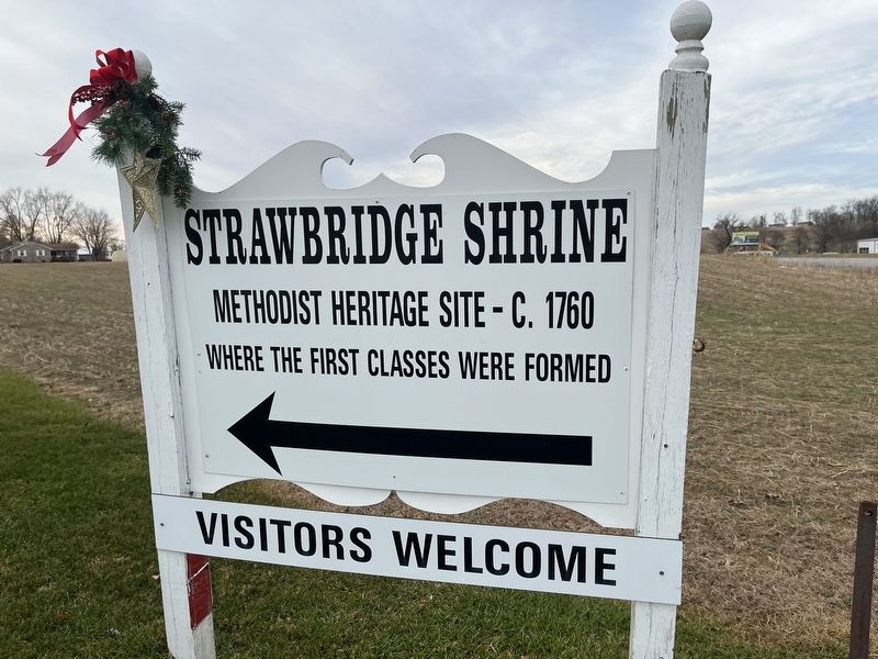
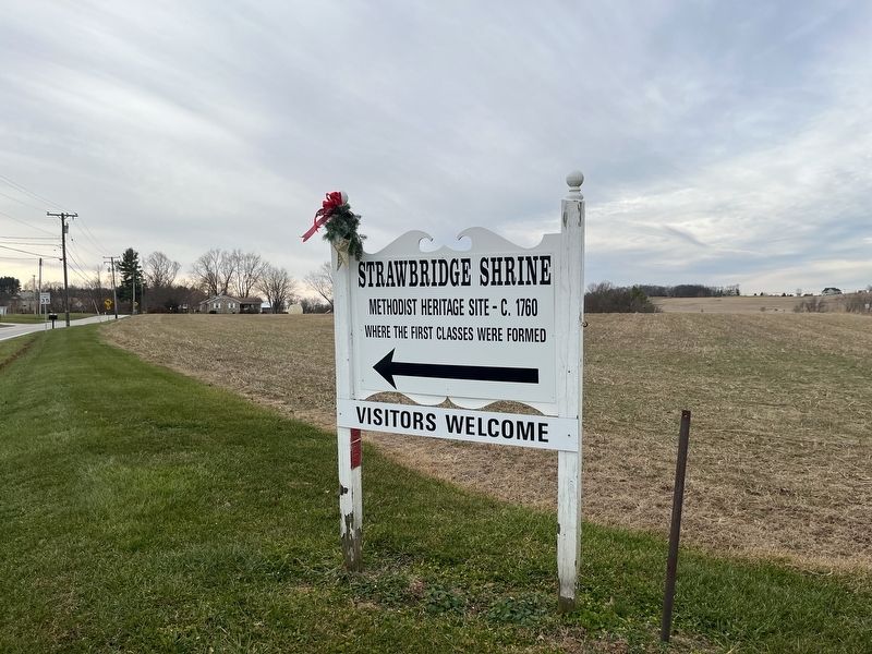
Strawbridge Shrine
Methodist Heritage Site - C. 1760
| — | 🠔 | — |
Topics. This historical marker is listed in these topic lists: Colonial Era • Religion & Religious Structures. A significant historical year for this entry is 1760.
Location. 39° 32.908′ N, 77° 4.38′ W. Marker is near New Windsor, Maryland, in Carroll County. It is at the intersection of Wakefield Valley Road and New Windsor Road (Maryland Route 31), on the right when traveling south on Wakefield Valley Road. Touch for map. Marker is at or near this postal address: 925 Wakefield Valley Rd, New Windsor MD 21776, United States of America. Touch for directions.

Regionally, this marker is in the Baltimore Metro Region and in Central Maryland. It is also in the American Mid-Atlantic. Globally, it is in North America, the Western Hemisphere, the Western World, and the Anglosphere. Historically, it finds itself in what was once one of the original Thirteen Colonies and also the Antebellum South.
Other nearby markers. At least 8 other markers are within 2 miles of this marker, measured as the crow flies: A different marker also named Strawbridge Shrine (approx. 1.6 miles away);
this page online
Credits. This page was last revised on December 18, 2021. It was originally submitted on December 18, 2021, by Devry Becker Jones of Washington, District of Columbia. This page has been viewed 210 times since then and 13 times this year. Photos: 1, 2. submitted on December 18, 2021, by Devry Becker Jones of Washington, District of Columbia.
