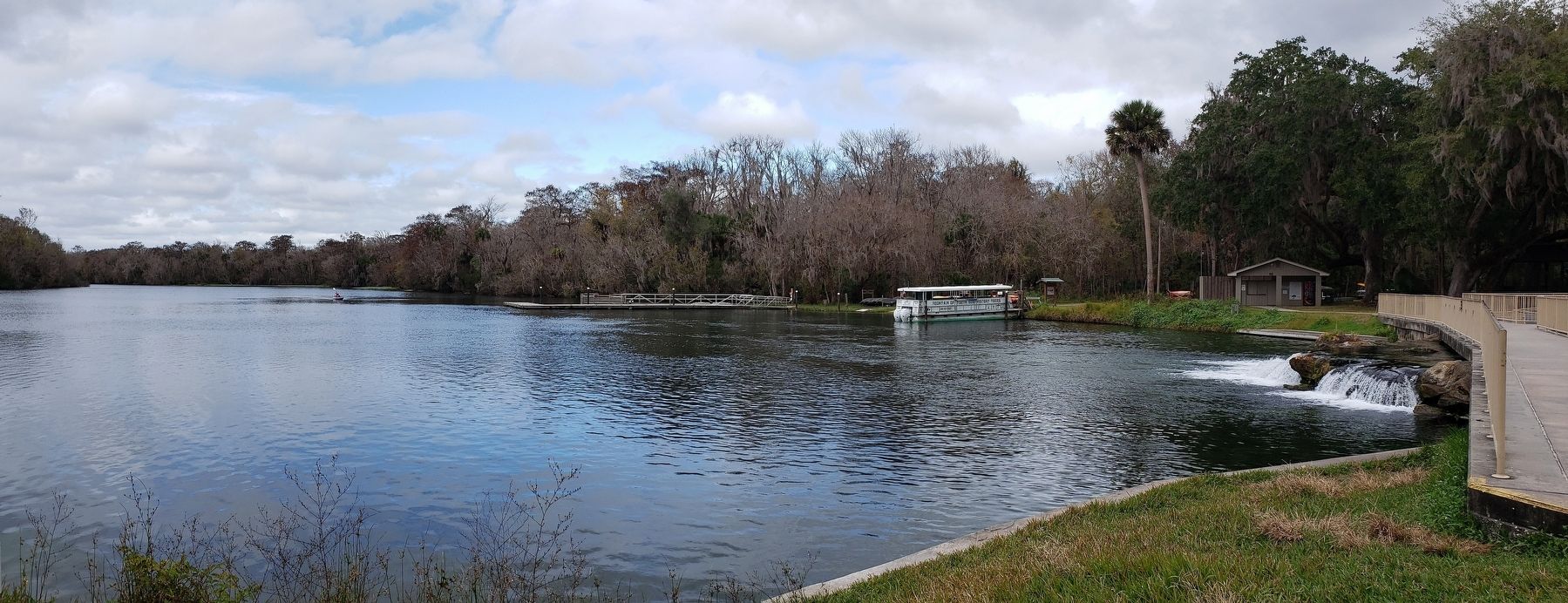
De Leon Springs in Volusia County, Florida — The American South (South Atlantic)
Ponce De Leon Springs
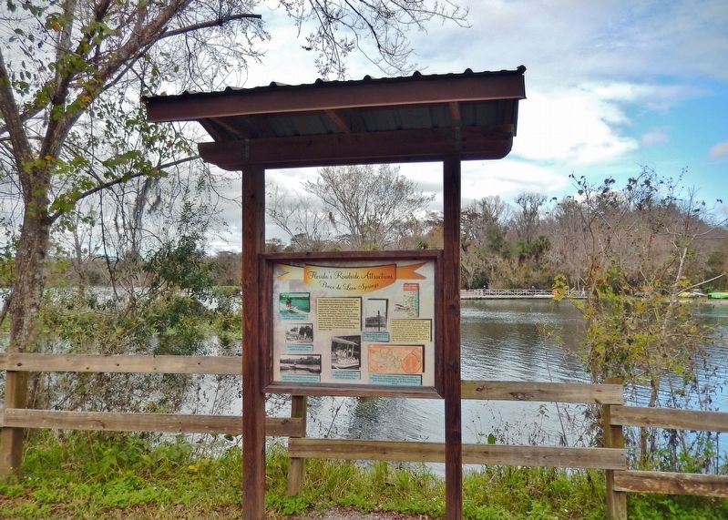
Florida's Roadside Attractions
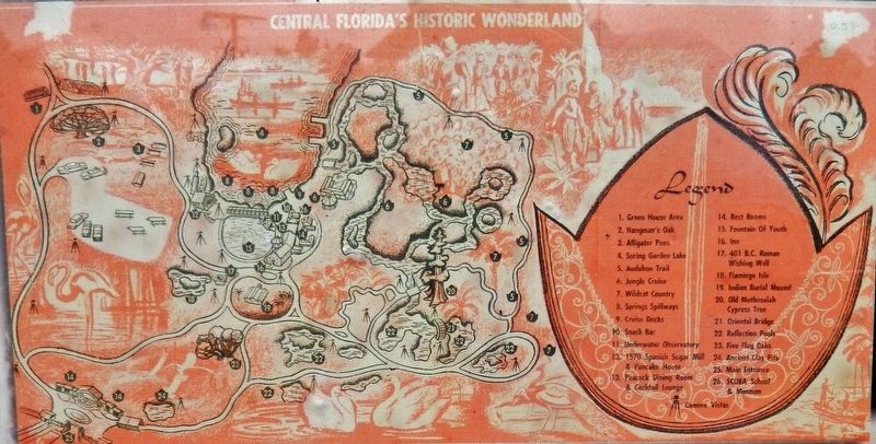
Before the interstate highways, three roads accounted for over half of the roadside attractions: US 1, US 27, and US 41. Businesses along other roads attempted to lure the tourist dollar. These included the St. Johns River Trail, which guided drivers south from Jacksonville on US 17. Ponce de Leon Springs had several large billboards advertising "Nature's Cameraland." The arrow on the map was a billboard located at the corner of Hwy. 17 and Ponce de Leon Blvd.
[photo captions]
• Visitors to the attraction parked outside and rode a tram.
• The Jungle Cruise was an exciting trip past Monkey Island and the old cypress tree.
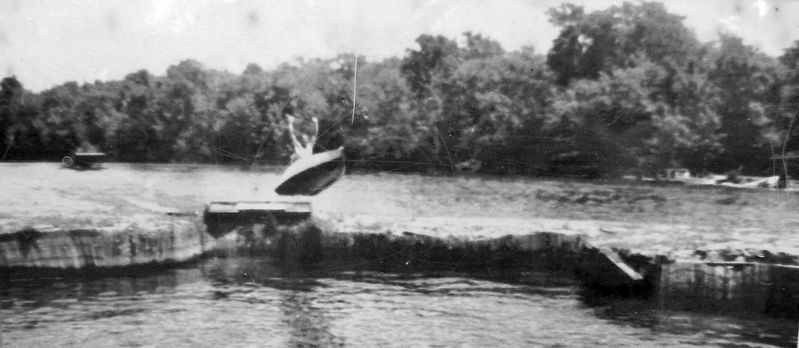
• Trapeze artists performed on the small island in front of you.
Topics. This historical marker is listed in these topic lists: Entertainment • Industry & Commerce • Parks & Recreational Areas • Roads & Vehicles. A significant historical year for this entry is 1929.
Location. 29° 8.046′ N, 81° 21.8′ W. Marker is in De Leon Springs, Florida, in Volusia County. Marker can be reached from the intersection of Ponce Deleon Boulevard and South County Road 3. Marker is located within De León Springs State Park, on the north side of The Old Spanish Sugar Mill, overlooking Spring Garden Lake. Touch for map. Marker is at or near this postal address: 601 Ponce Deleon Boulevard, De Leon Springs FL 32130, United States of America. Touch for directions.
Other nearby markers. At least 8 other markers are within 5 miles of this marker, measured as the crow flies. Sugar Mill Wheel (a few steps from this marker); Who Built the Sugar Mill? (a few steps from this marker); Sugar Mill Machinery (within shouting distance of this marker); The Fountain of Youth (within shouting distance of this marker); The Hotel Clubhouse (within shouting distance of this marker); DeLeon Springs Colored School (approx. 1.7 miles away); H.L. Wynns’s Commissary (approx. 4.9 miles away); Swedish Pioneer Memorial (approx. 4.9 miles away). Touch for a list and map of all markers in De Leon Springs.
Also see . . . Ponce De Leon Springs Park History.
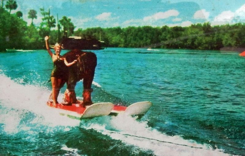
To attract tourists, local residents changed the name from Spring Garden to Ponce de Leon Springs and referred to the spring as the Fountain of Youth. The Ponce de Leon Springs Hotel and Casino was built in 1925 (casino refers to a large room for events and dining, not gambling). The property became one of over 100 roadside attractions in the state when it opened as Ponce de Leon Springs in 1953. It featured tropical gardens, a jungle cruise, tram tour and a water-skiing elephant! Interstate highways and air travel combined to cause the attraction to close after about 16 years. The property was then operated as a private recreational park until 1982, when the state of Florida and Volusia County purchased 55 acres that became De Leon Springs State Park.(Submitted on December 18, 2021, by Cosmos Mariner of Cape Canaveral, Florida.)
Credits. This page was last revised on December 18, 2021. It was originally submitted on December 18, 2021, by Cosmos Mariner of Cape Canaveral, Florida. This page has been viewed 267 times since then and 22 times this year. Photos: 1, 2, 3, 4, 5, 6, 7. submitted on December 18, 2021, by Cosmos Mariner of Cape Canaveral, Florida.


