Dana Point in Orange County, California — The American West (Pacific Coastal)
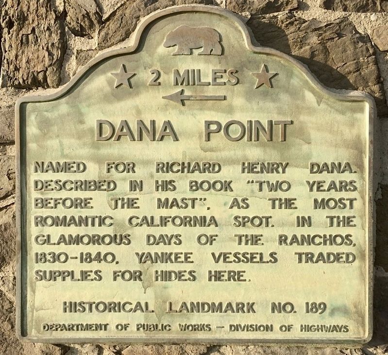
Dana Point
← 2 Miles
Erected by Department of Public Works - Division of Highways. (Marker Number 189.)
Topics and series. This historical marker is listed in these topic lists: Industry & Commerce • Settlements & Settlers • Waterways & Vessels. In addition, it is included in the California Historical Landmarks series list.
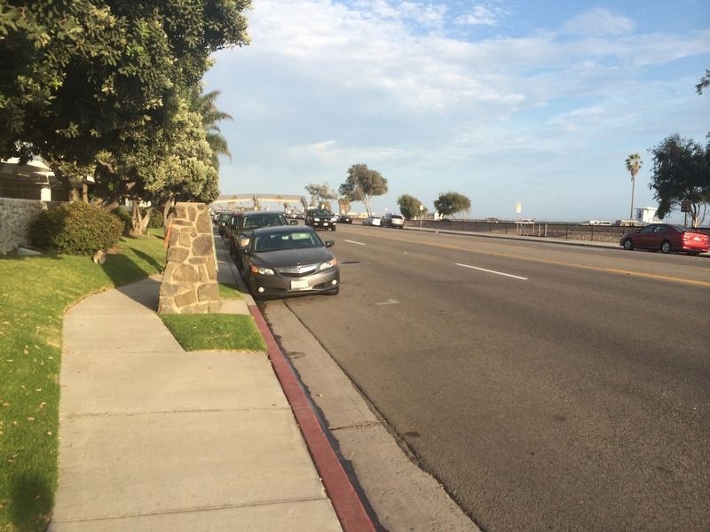
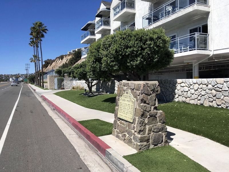
Location. 33° 27.626′ N, 117° 40.534′ W. Marker is in Dana Point, California, in Orange County. Marker is on Pacific Coast Highway (California Route 1) half a mile west of Palisades Drive, on the right when traveling north. Touch for map. Marker is at or near this postal address: 34600 Pacific Coast Hwy, Capistrano Beach CA 92624, United States of America. Touch for directions.
Other nearby markers. At least 8 other markers are within walking distance of this marker. Doheny State Beach (approx. 0.4 miles away); Dana Point's Early Years (approx. half a mile away); California's Highway 1 (approx. half a mile away); The Richfield Tower (approx. half a mile away); The Endless Summer (approx. 0.7 miles away); Surfin' Dana Point (approx. 0.7 miles away); Bruce Brown (1937-2017) (approx. 0.7 miles away); Hobie Alter / The Surfboard King (approx. 0.7 miles away). Touch for a list and map of all markers in Dana Point.
More about this marker. This marker is two miles south of Dana Point, and an identical marker is located two miles north of Dana Point on the other side of the highway, hidden in landscaping.
Credits. This page was last revised on November 2, 2023. It was originally submitted on December 19, 2021, by Adam Margolis of Mission Viejo, California. This page has been viewed 201 times since then and 13 times this year. Photos: 1, 2. submitted on December 19, 2021, by Adam Margolis of Mission Viejo, California. 3. submitted on March 14, 2022, by Craig Baker of Sylmar, California. • Syd Whittle was the editor who published this page.


