Near Jackson in Aiken County, South Carolina — The American South (South Atlantic)
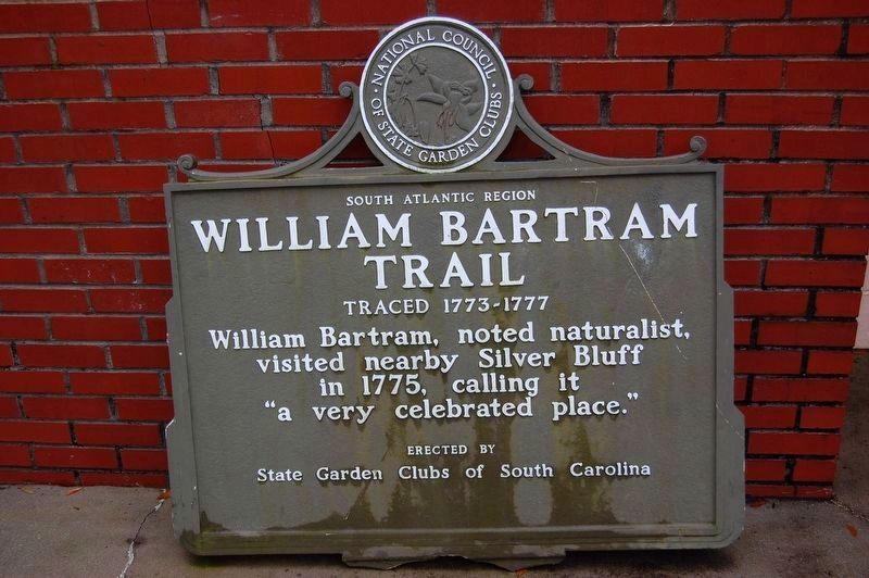
William Bartram Trail
Traced 1773-1777
— South Atlantic Region —
William Bartram, noted naturalist, visited nearby Silver Bluff in 1775, calling it "a very celebrated place."
Erected by State Garden Clubs of South Carolina.
Topics and series. This historical marker is listed in these topic lists: Colonial Era • Exploration. In addition, it is included in the William Bartram Trails series list. A significant historical year for this entry is 1775.
Location. 33° 19.464′ N, 81° 50.758′ W. Marker is near Jackson, South Carolina, in Aiken County. Marker can be reached from Silver Bluff Road (County Highway 314) 0.4 miles north of Bluff Landing Road (County Highway 315), on the left when traveling north. Silver Bluff Audubon Center and Sanctuary. Touch for map. Marker is at or near this postal address: 4542 Silver Bluff Rd, Jackson SC 29831, United States of America. Touch for directions.
Other nearby markers. At least 8 other markers are within 9 miles of this marker, measured as the crow flies. Redcliffe Plantation (approx. 6.4 miles away); Silver Bluff Baptist Church (approx. 6˝ miles away); Downer Institute & School / Downer School, 1924–1986 (approx. 6.9 miles away); Historic Church (approx. 6.9 miles away); Beech Island Baptist Church (approx. 7.4 miles away); Family Burying Ground on Good Hope Plantation (approx. 7˝ miles away in Georgia); Twiggs Cemetery (approx. 7.6 miles away in Georgia); Savannah Town / Fort Moore (approx. 8.8 miles away).
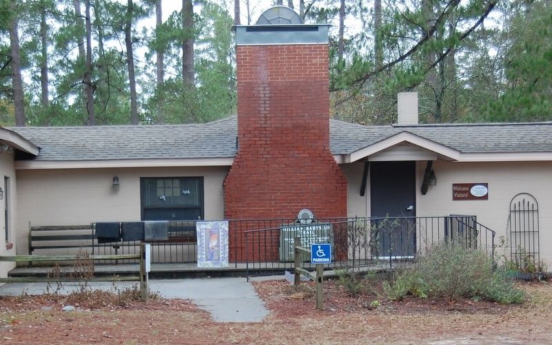
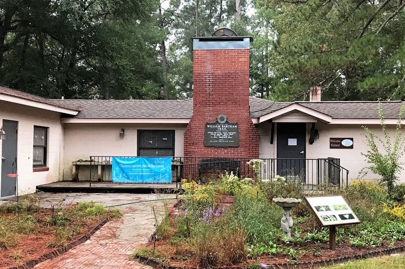
More about this marker. Originally this marker was erected adjacent to a highway where it could be observed by passing motorists. A utility crew accidentally toppled it while repairing storm damage. The marker was salvaged and moved to the Silver Bluff Audubon Center and Sanctuary. Initially it was placed on the ground leaning against the exterior wall of the Center. This arrangement was not a permanent location, so the marker did not qualify for inclusion in the Historical Marker Database. Since then the marker has been mounted on the wall of the Center and is as permanent as any marker can be. Anyone wishing to view this marker now must leave the main highway and travel down Silver Bluff Road, the last mile of which is unpaved, but well maintained.
Also see . . .
1. Silver Bluff Audubon Center and Sanctuary. Audubon website entry (Submitted on December 22, 2021.)
2. Bartram Trail Historical Markers. Bartram Trail Conference (Submitted on December 22, 2021.)
Credits. This page was last revised on May 28, 2023. It was originally submitted on December 21, 2021, by Harry Gatzke of Huntsville, Alabama. This page has been viewed 276 times since then and 23 times this year. Last updated on December 22, 2021, by Harry Gatzke of Huntsville, Alabama. Photos: 1, 2, 3. submitted on December 21, 2021, by Harry Gatzke of Huntsville, Alabama. • Bernard Fisher was the editor who published this page.


