Helena in Lewis and Clark County, Montana — The American West (Mountains)
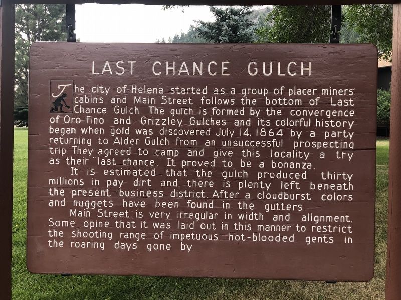
Last Chance Gulch
It is estimated that the gulch produced thirty millions in pay dirt and there is plenty left beneath the present business district. After a cloudburst colors and nuggets have been found in the gutters.
Main Street is very irregular in width and alignment. Some opine that it was laid out in this manner to restrict the shooting range of impetuous hot-blooded gents in the roaring days gone by.
Erected by Montand Department of Transportation.
Topics. This historical marker is listed in these topic lists: Roads & Vehicles • Settlements & Settlers. A significant historical date for this entry is July 14, 1864.
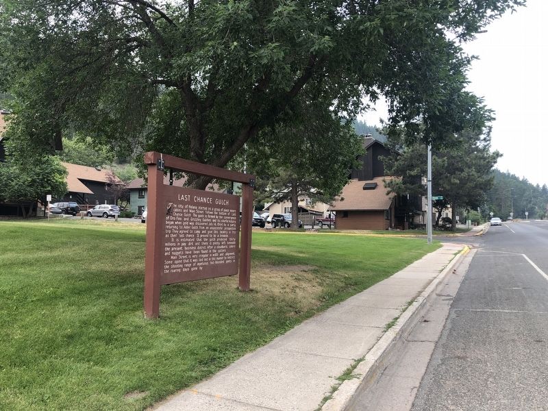
Location. 46° 34.995′ N, 112° 2.681′ W. Marker is in Helena, Montana, in Lewis and Clark County. Marker is at the intersection of South Park Avenue and South Cruse Street, on the left when traveling south on South Park Avenue. Touch for map. Marker is at or near this postal address: 439 South Park Avenue, Helena MT 59601, United States of America. Touch for directions.
Other nearby markers. At least 8 other markers are within walking distance of this marker. B.K. Tatem House (within shouting distance of this marker); Samuel Dempster House (about 600 feet away, measured in a direct line); Reeder's Alley (about 700 feet away); a different marker also named Reeder's Alley (about 700 feet away); Caretaker's Cabin (about 700 feet away); "The Pioneer Cabin" (about 700 feet away); Pioneer Cabin on Last Chance Gulch (about 700 feet away); Pioneer Cabin (about 700 feet away). Touch for a list and map of all markers in Helena.
Credits. This page was last revised on December 22, 2021. It was originally submitted on December 22, 2021, by Barry Swackhamer of Brentwood, California. This page has been viewed 579 times since then and 113 times this year. Photos: 1, 2. submitted on December 22, 2021, by Barry Swackhamer of Brentwood, California.

