Downtown in Nashville in Davidson County, Tennessee — The American South (East South Central)
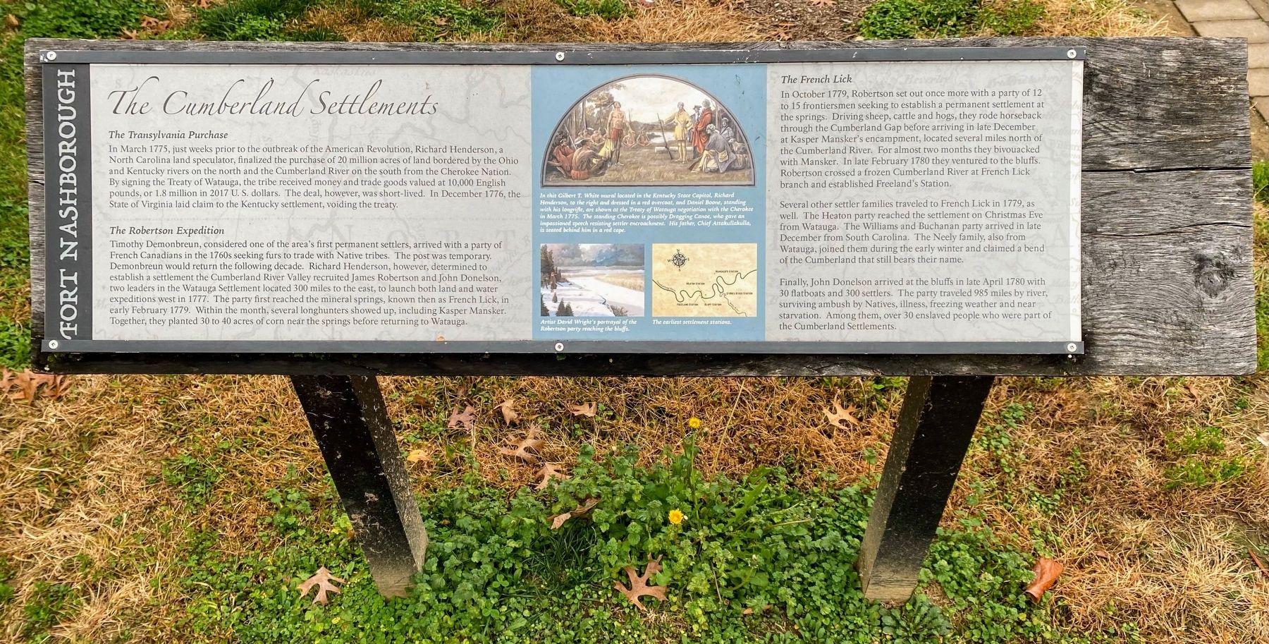
The Cumberland Settlements
Fort Nashborough
In March 1775, just weeks prior to the outbreak of the American Revolution, Richard Henderson, a North Carolina land speculator, finalized the purchase of 20 million acres of land bordered by the Ohio and Kentucky rivers on the north and the Cumberland River on the south from the Cherokee Nation. By signing the Treaty of Watauga, the tribe received money and trade goods valued at 10,000 English pounds, or 1.8 million in 2017 U.S. dollars. The deal, however, was short-lived. In December 1776, the State of Virginia laid claim to the Kentucky settlement, voiding the treaty.
The Robertson Expedition
Timothy Demonbreun, considered one of the area's first permanent settlers, arrived with a party of French Canadians in the 1760s seeking furs to trade with Native tribes. The post was temporary. Demonbreun would return the following decade. Richard Henderson, however, determined to establish a settlement on [the] Cumberland River Valley recruited James Robertson and John Donelson, two leaders in the Watauga Settlement located 300 miles to the east, to launch both land and water expeditions west in 1777. The party first reached the mineral springs, known then as French Lick, in early February 1779. Within the month, several longhunters showed up, including Kasper Mansker. Together, they planted 30 to 40 acres of corn near the springs before returning to Watauga.
The French Lick
In October 1779, Robertson set out once more with a party of 12 to 15 frontiersmen seeking to establish a permanent settlement at the springs. Driving sheep, cattle and hogs, they rode horseback through the Cumberland Gap before arriving in late December at Kasper Mansker's encampment, located several miles north of the Cumberland River. For almost two months they bivouacked with Mansker. In late February 1780 they ventured to the bluffs. Robertson crossed a frozen Cumberland River at French Lick branch and established Freeland's Station.
Several other settler families traveled to French Lick in 1779, as well. The Heaton party reached the settlement on Christmas Eve from Watuga. The Williams and Buchanan party arrived in late December from South Carolina. The Neely family, also from Watauga, joined them during the early winter and claimed a bend of the Cumberland that still bears their name.
Finally, John Donelson arrived at the bluffs in late April 1780 with 30 flatboats and 300 settlers. The party traveled 985 miles by river, surviving ambush by Natives, illness, freezing weather and near starvation. Among them, over 30 enslaved people who were part of the Cumberland Settlements.
(Image Captions):
In this Gilbert T. White mural located in the Kentucky State Capitol, Richard Henderson, to the right and dressed in a red overcoat, and Daniel Boone, standing with his longrifle, are shown at the Treaty of Watauga negotiation with the Cherokee in March 1775. The standing Cherokee is possibly Dragging Canoe, who gave an impassioned speech resisting settler encroachment. His father, Chief Attakullakulla, is seated behind him in a red cape.
Artist David Wright's portrayal of the Robertson Party reaching the bluffs.
The earliest settlement stations.
Erected 2017 by Metro Parks Nashville.
Topics. This historical marker is listed in these topic lists: Colonial Era • Forts and Castles • Settlements & Settlers. A significant historical month for this entry is February 1779.
Location. 36° 9.862′ N, 86° 46.524′ W. Marker is in Nashville, Tennessee, in Davidson County. It is in Downtown. Marker is on 1st Avenue North, 0.1 miles north of Broadway (U.S. 70), on the right when traveling north. Located on the grounds of the reconstructed Fort Nashborough. Touch for map. Marker is at or near this postal address: 170 1st Ave N, Nashville TN 37201, United States of America. Touch for directions.
Other nearby markers. At least 8 other markers are within walking distance of this marker. Fort Nashborough (here, next to this marker); The Cumberland Compact (a few steps from this marker); Colonel Richard Henderson
(a few steps from this marker); The Bluff Station (within shouting distance of this marker); River Cane (within shouting distance of this marker); Colonel John Donelson (within shouting distance of this marker); The First Peoples (within shouting distance of this marker); Native American Plaza (within shouting distance of this marker). Touch for a list and map of all markers in Nashville.
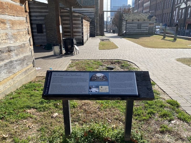
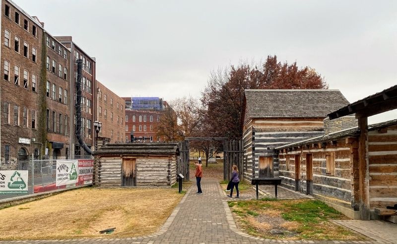
More about this marker. In 2015, the previous Fort Nashborough reproduction was torn down and rebuilt. The new Fort Nashborough replica opened in 2017, with new interpretive markers. As of 2021, none of the buildings at the reproduction fort are open, and thus a visit to Fort Nashborough simply entails viewing a few historical markers and the exterior of a few log buildings.
Credits. This page was last revised on February 7, 2023. It was originally submitted on December 23, 2021, by Shane Oliver of Richmond, Virginia. This page has been viewed 510 times since then and 67 times this year. Photos: 1, 2, 3. submitted on December 24, 2021, by Shane Oliver of Richmond, Virginia. • Mark Hilton was the editor who published this page.


