Creek Stand in Macon County, Alabama — The American South (East South Central)
Creek Stand Methodist Church
Photographed by James L.Whitman, July 17, 2022
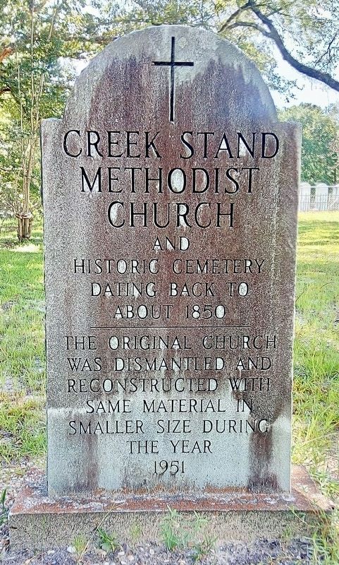
1. Creek Stand Methodist Church Marker
and Historic Cemetery
dating back to about 1850
The original church was dismantled and reconstructed with same material in smaller size during the year 1951
Topics. This historical marker is listed in these topic lists: Cemeteries & Burial Sites • Religion & Religious Structures. A significant historical year for this entry is 1850.
Location. 32° 17.714′ N, 85° 28.892′ W. Marker is in Creek Stand, Alabama, in Macon County. It is on County Road 10 0.2 miles west of County Road 79, on the left when traveling north. Touch for map. Marker is in this post office area: Hurtsboro AL 36860, United States of America. Touch for directions.

Regionally, this marker is in the American South, specifically in the Deep South, and in the Black Belt. Globally, it is in North America, a Gulf of Mexico state, the Western Hemisphere, the Western World, and the Anglosphere. Historically, it finds itself in what was once the territory of the Mississippian Culture, one of the Confederate States of America, and the Antebellum South.
Other nearby markers. At least 8 other markers are within 12 miles of this marker, measured as the crow flies: In Memory of Phoebe Tolbert Key (within shouting distance of this marker); Creek Stand AME Zion Church Cemetery (approx. half a mile away); Joel Hurt House (approx. 5.6 miles away); Long Family (approx. 5.6 miles away); Hurtsboro United Methodist Church (approx. 5.6 miles away); Uchee / Good Hope Baptist Church, Uchee (approx. 8.2 miles away); Uchee Chapel Methodist Church (approx. 9.7 miles away); Union Christian Church (approx. 11.1 miles away). Touch for a list and map of all markers in Creek Stand.
this page online
Photographed by James L.Whitman, December 23, 2021
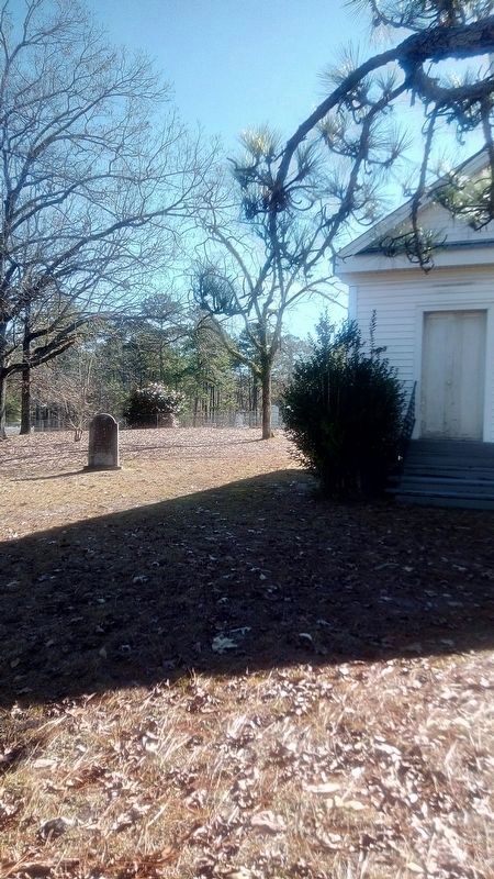
2. Creek Stand Methodist Church Marker
Photographed by James L.Whitman, December 23, 2021
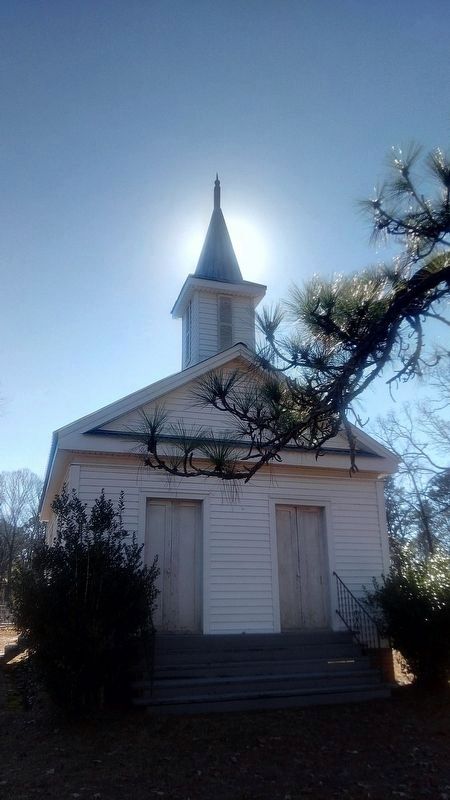
3. Creek Stand Methodist Church
Photographed by James L.Whitman, December 23, 2021
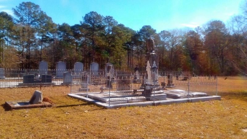
4. Creek Stand Methodist Church Historic Cemetery
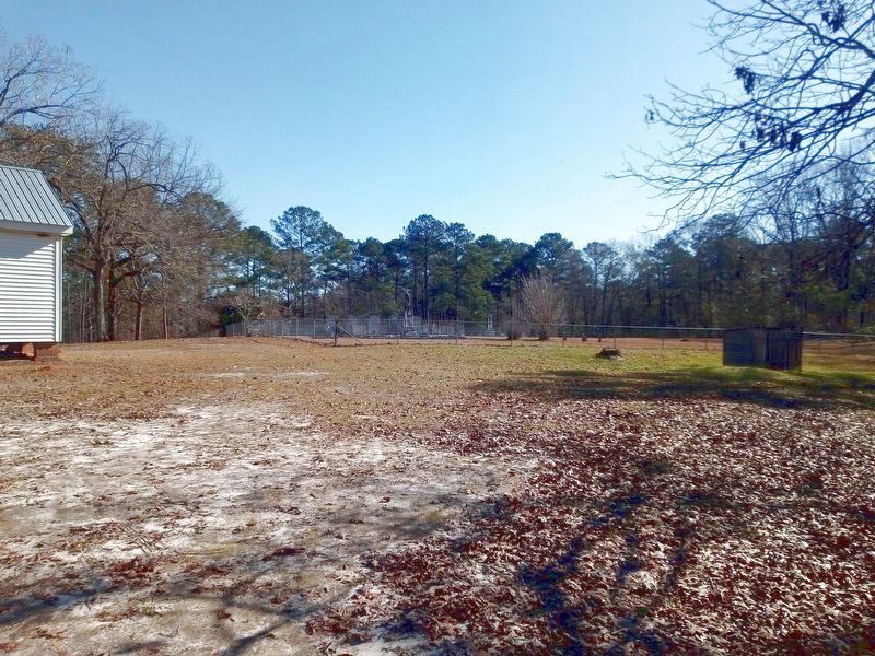
Photographed by James L.Whitman, January 8, 2022
5. Creek Stand Methodist Church
The little building to the right is a privy. You can see the part of the church on the left.
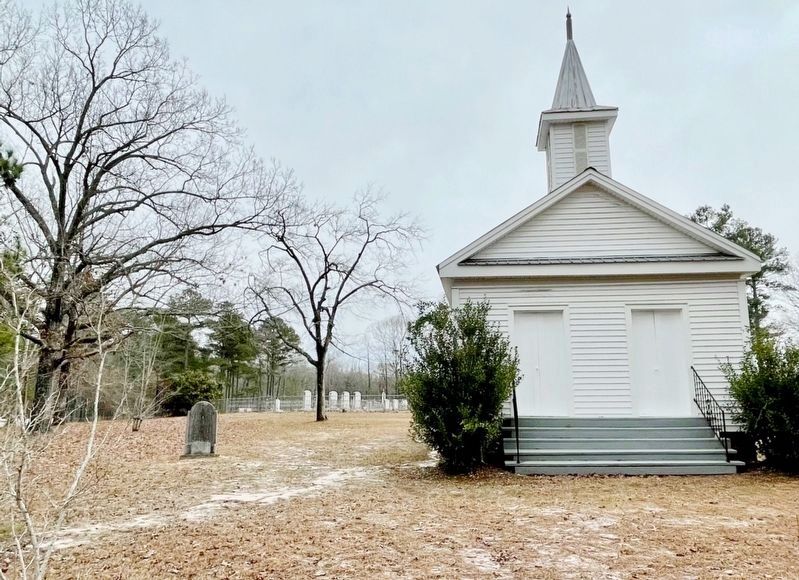
Photographed by Mark Hilton, February 16, 2024
6. Creek Stand Methodist Church
Credits. This page was last revised on February 16, 2024. It was originally submitted on December 24, 2021, by James L.Whitman of Eufaula, Alabama. This page has been viewed 835 times since then and 43 times this year. Photos: 1. submitted on July 19, 2022, by James L.Whitman of Eufaula, Alabama. 2, 3, 4. submitted on December 24, 2021, by James L.Whitman of Eufaula, Alabama. 5. submitted on January 9, 2022, by James L.Whitman of Eufaula, Alabama. 6. submitted on February 16, 2024, by Mark Hilton of Montgomery, Alabama. • Mark Hilton was the editor who published this page.
