Foley in Baldwin County, Alabama — The American South (East South Central)
City of Foley Camellia Walk
Photographed by Sandra Hughes, December 7, 2011
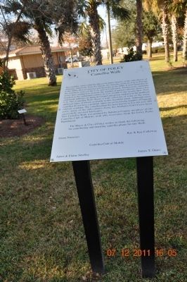
1. City of Foley Camellia Walk Marker
The camellia, often called the Queen of winter flowers, is the state flower of Alabama. Originally from the Orient, the camellia made its way to Europe in the 1600s, then to America and Australia in the 1700s. It now flourishes in the southern states of the U.S. and in California. Enthusiastic camellia lovers have managed to increase the number of named cultivars from a few hundred in the eighteenth century to over 32,000 in the twenty-first. Now cold-hardy cultivars are being developed and grown outdoors in the northeast U.S. This Camellia Walk shows a wide section of some of the many types of bloom available in this beautiful plant.
Although most camellias do not have a perfume, there are an increasing number of fragrant cultivars available. The camellia plant has been known to live for over 100 years, many of the older plants along the Alabama Gulf Coast have successfully survived hurricanes.
This Camellia Walk was planted by Baldwin County members of the Camellia Club of Mobile, with able assistance from the Foley Parks Department. The Mayor & City of Foley wishes to thank the following for contributing and donating camellia plants for this walk:
Green Nurseries
Ray and Kay Calloway
Camellia Club Mobile
James & Elaine Smelley
James T. Oats
Erected by Camellia Club of Mobile.
Topics. This historical marker is listed in these topic lists: Horticulture & Forestry • Parks & Recreational Areas.
Location. 30° 24.426′ N, 87° 40.997′ W. Marker is in Foley, Alabama, in Baldwin County. It is on North McKenzie Street near Laurel Avenue. Located near the entrance to the train museum. Touch for map. Marker is in this post office area: Foley AL 36536, United States of America. Touch for directions.

Regionally, this marker is on the Gulf Coast
this page online
Other nearby markers. At least 8 other markers are within 8 miles of this marker, measured as the crow flies: Cobb's Light (within shouting distance of this marker); City of Foley (about 300 feet away, measured in a direct line); Summerdale / Summerdale's Turpentine Still (approx. 4.7 miles away); The Springs (approx. 5.1 miles away); Magnolia Springs, Alabama (approx. 5.3 miles away); Sonora Community / Sonora School and Community Hall (approx. 5.6 miles away); The Charles Swift Family / Swift Coles Historic Home (approx. 7.1 miles away); Vicinity of Salt Works and Camp Anderson (approx. 8 miles away). Touch for a list and map of all markers in Foley.
More about this marker. The
Photographed by Sandra Hughes, December 7, 2011
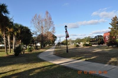
2. City of Foley Camellia Walk Marker
Photographed by Sandra Hughes, December 7, 2011
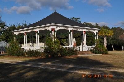
3. City of Foley Camellia Walk Marker
Credits. This page was last revised on August 20, 2024. It was originally submitted on December 12, 2011, by Sandra Hughes Tidwell of Killen, Alabama, USA. This page has been viewed 1,713 times since then and 64 times this year. Last updated on December 24, 2021, by Carl Gordon Moore Jr. of North East, Maryland. Photos: 1, 2, 3. submitted on December 12, 2011, by Sandra Hughes Tidwell of Killen, Alabama, USA. • Mark Hilton was the editor who published this page.
