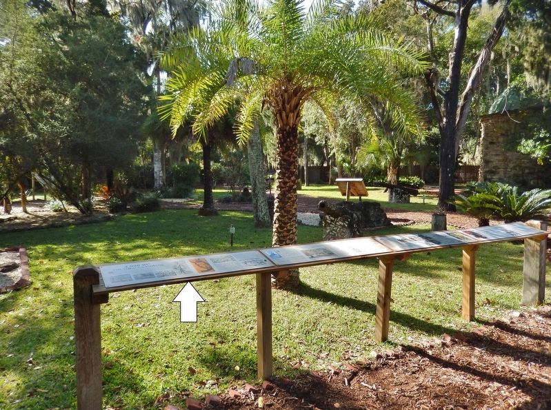
Historic District in St. Augustine in St. Johns County, Florida — The American South (South Atlantic)
4,000 BC
The Timacua Indians
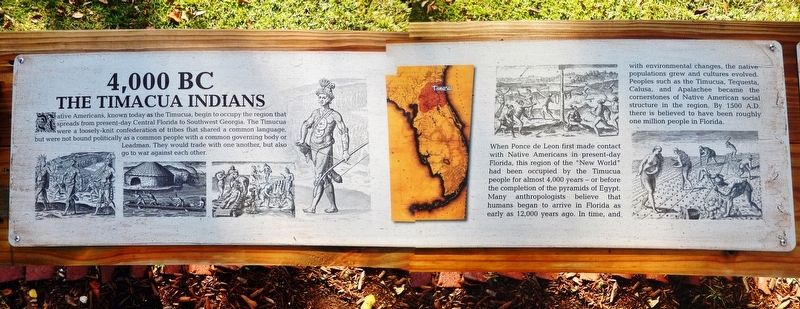
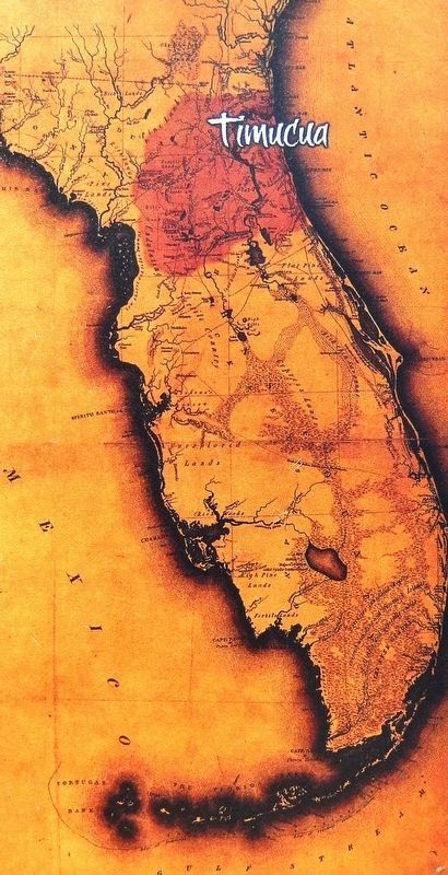
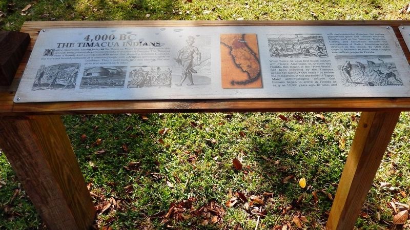
Native Americans, known today as the Timucua, begin to occupy the region that spreads from present-day Central Florida to Southwest Georgia. The Timucua were a loosely knit confederation of tribes that shared a common language, but were not bound politically as a common people with a common governing body or Leadman. They would trade with one another, but also go to war against each other.
When Ponce de Leon first made contact with Native Americans in present-day Florida, this region of the "New World" had been occupied by the Timucua people for almost 4,000 years — or before the completion of the pyramids of Egypt. Many anthropologists believe that humans began to arrive in Florida as early as 12,000 years ago. In time, and with environmental changes, the native populations grew and cultures evolved. Peoples such as the Timucua, Tequesta, Calusa, and Apalachee became the cornerstones of Native American social structure in the region. By 1500 A.D. there is believed to have been roughly one million people in Florida.
Topics. This historical marker is listed in these topic lists: Anthropology & Archaeology • Native Americans.
Location. 29° 54.405′ N, 81° 18.931′ W. Marker is in St. Augustine, Florida, in St. Johns County. It is in the Historic District. Marker can be reached from Williams Street east of Magnolia Avenue. Marker is located along the interpretive trail in Ponce de León's Fountain of Youth Archaeological Park. Touch for map. Marker is at or near this postal address: 11 Magnolia Avenue, Saint Augustine FL 32084, United States of America. Touch for directions.
Other nearby markers. At least 8 other markers are within walking distance of this marker. Juan Ponce (here, next to this marker); 1513 La Florida (here, next to this marker); 1565 Menendez (here, next to this marker); Tabby / Coquina (here, next to this marker); Chief Saturiwa (here, next to this marker); Tinajónes (a few steps from this marker); Ancient Civilization Uncovered! (a few steps from this marker); Spanish Cannon (a few steps from this marker). Touch for a list and map of all markers in St. Augustine.
Related markers. Click here for a list of markers that are related to this marker. Ponce de León's Fountain of Youth Archaeological Park
Also see . . .
1. Timucua.
The Timucua were the largest indigenous group in the area and consisted of about 35 chiefdoms, many leading thousands of people. At the time of European first contact, the territory occupied by speakers of Timucuan dialects occupied about 19,200 square miles and was home to between 50,000 and 200,000 Timuacans. It stretched from the Altamaha River and Cumberland Island in present-day Georgia as far south as Lake George in central Florida, and from the Atlantic Ocean west to the Aucilla River in the Florida Panhandle.(Submitted on December 24, 2021, by Cosmos Mariner of Cape Canaveral, Florida.)
2. Timucua Tribe – Lost Today.
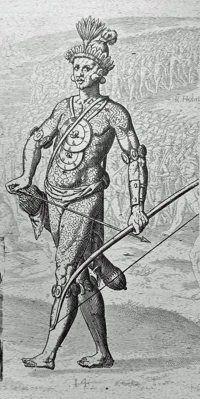
Spanish explorers were shocked at the size of the Timucua, well-built and standing four to six inches or more above them. Perhaps adding to their perceived height was that Timucuan men would wear their hair in a bun on top of their heads. All were heavily tattooed, and such tattoos were gained by deeds, usually in hunting or war. These elaborate decorations were created by poking holes in the skin and rubbing ashes into the holes. The Timucua were dark-skinned with black hair. They wore minimal clothing woven from moss or crafted from various animal skins.(Submitted on December 24, 2021, by Cosmos Mariner of Cape Canaveral, Florida.)
Credits. This page was last revised on December 29, 2021. It was originally submitted on December 24, 2021, by Cosmos Mariner of Cape Canaveral, Florida. This page has been viewed 380 times since then and 45 times this year. Photos: 1, 2, 3, 4, 5. submitted on December 24, 2021, by Cosmos Mariner of Cape Canaveral, Florida.
