Villa del Carbón, Mexico State, Mexico — The Central Highlands (North America)
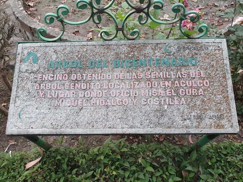
Bicentennial Tree
Encino obtenido de las semillas del árbol bendito localizado en Aculco y lugar donde oficio misa el cura Miguel Hidalgo y Costilla
Julio 2010
Bicentennial Tree
This oak was obtained from the seeds of the blessed tree located in Aculco where the priest Miguel Hidalgo y Costilla officiated mass
July 2010
Erected 2010.
Topics. This memorial is listed in these topic lists: Horticulture & Forestry • Wars, Non-US. A significant historical month for this entry is July 2010.
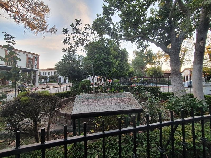
Location. 19° 43.673′ N, 99° 27.831′ W. Marker is in Villa del Carbón, Estado de Mexico (Mexico State). Memorial is at the intersection of Estado de Mexico Route 5 and Calejón de las Bugambilias, on the left when traveling east on State Route 5. The marker and tree are at the far western side of the Villa del Carbón central park. Touch for map. Marker is in this post office area: Villa del Carbón MEX 54300, Mexico. Touch for directions.
Other nearby markers. At least 8 other markers are within 14 kilometers of this marker, measured as the crow flies. Hidalgo Plaza and Los Portales (within shouting distance of this marker); Old City Hall (within shouting distance of this marker); Constituent Congress of 1856-1857 (within shouting distance of this marker); Church of the Virgen de la Peña de Francia (about 90 meters away, measured in a direct line); Children Heroes Memorial (approx. 11.6 kilometers away); Church of San Miguel Arcángel (approx. 11.7 kilometers away); Sierra of Tepotzotlán (approx. 13.2 kilometers away); The Aqueduct of Xalpa (approx. 13.4 kilometers away). Touch for a list and map of all markers in Villa del Carbón.
Credits. This page was last revised on December 27, 2021. It was originally submitted on December 26, 2021, by J. Makali Bruton of Accra, Ghana. This page has been viewed 57 times since then and 3 times this year. Photos: 1, 2. submitted on December 26, 2021, by J. Makali Bruton of Accra, Ghana.

