Wetumpka in Elmore County, Alabama — The American South (East South Central)
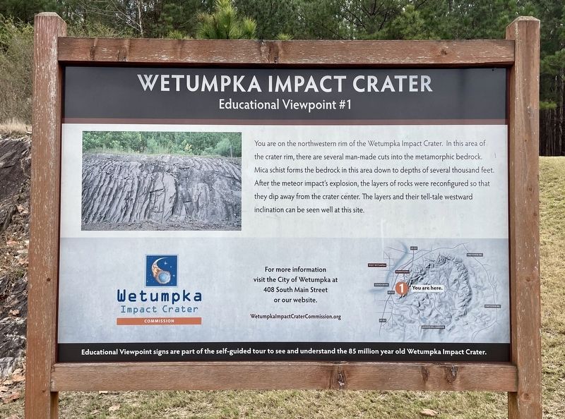
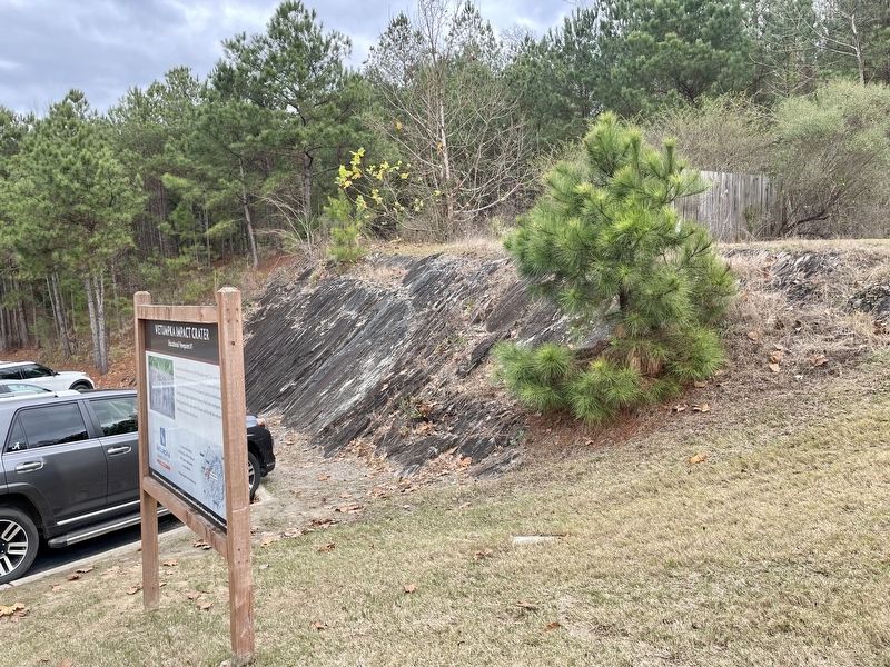
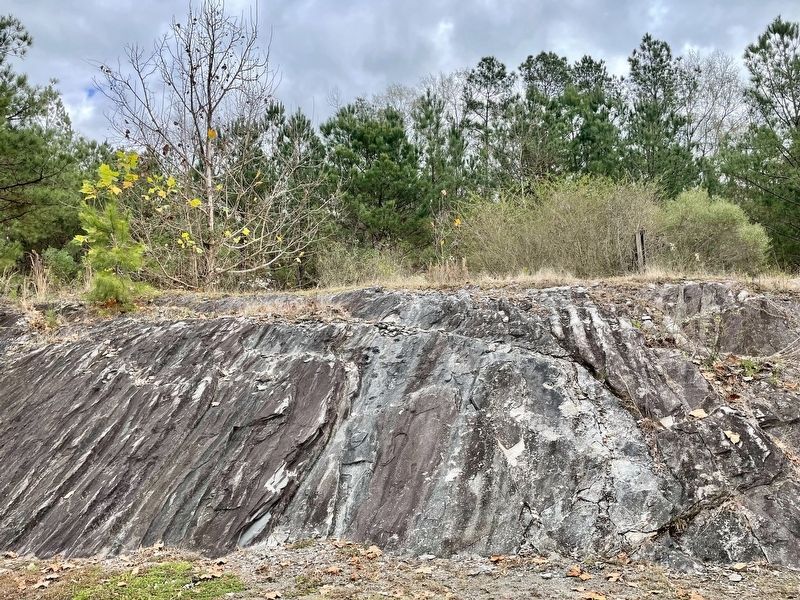
Wetumpka Impact Crater
Educational Viewpoint #1
Educational Viewpoint signs are part of the self-guided tour to see and understand the 85 million year old Wetumpka Impact Crater.
Erected 2019 by the Wetumpka Impact Crater Commission. (Marker Number 1.)
Topics. This historical marker is listed in this topic list: Notable Events.
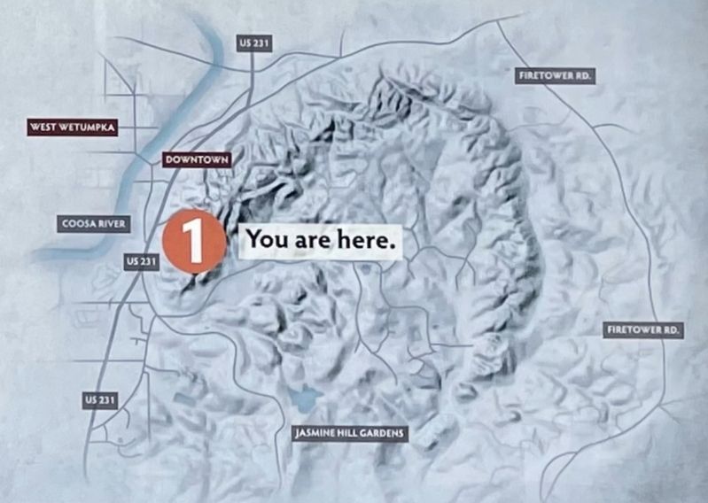
Location. 32° 31.683′ N, 86° 12.275′ W. Marker is in Wetumpka, Alabama, in Elmore County. Marker can be reached from Wilson Street, 0.2 miles north of Emerson Street, on the right when traveling north. Located behind the First Community Bank of Central Alabama. Touch for map. Marker is at or near this postal address: 715 Wilson St, Wetumpka AL 36092, United States of America. Touch for directions.
Other nearby markers. At least 8 other markers are within walking distance of this marker. A different marker also named Wetumpka Impact Crater (approx. 0.4 miles away); Crommelin Memorial (approx. half a mile away); Elmore County World War I Memorial (approx. 0.6 miles away); Elmore County Korean War Memorial (approx. 0.6 miles away); Wetumpka Historical Marker (approx. 0.6 miles away); Elmore County Vietnam War Memorial (approx. 0.6 miles away); Williams Lowndes Yancey (approx. 0.6 miles away); Wetumpka's Bridges (approx. 0.7 miles away). Touch for a list and map of all markers in Wetumpka.
Related markers. Click here for a list of markers that are related to this marker.
Also see . . . For more information visit the City of Wetumpka at 408 South Main Street or our website. (Submitted on December 27, 2021, by Mark Hilton of Montgomery, Alabama.)
Credits. This page was last revised on December 27, 2021. It was originally submitted on December 27, 2021, by Mark Hilton of Montgomery, Alabama. This page has been viewed 636 times since then and 84 times this year. Photos: 1, 2, 3, 4. submitted on December 27, 2021, by Mark Hilton of Montgomery, Alabama.


