St. Simons Island in Glynn County, Georgia — The American South (South Atlantic)
Fort Frederica
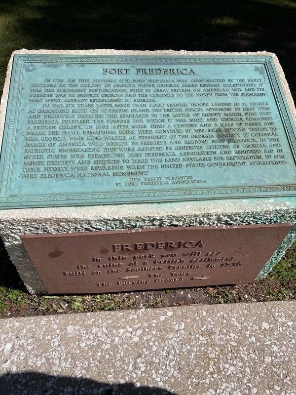
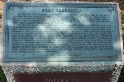
In 1736, on this historic site, Fort Frederica was constructed by the early settlers of the Colony of Georgia under General James Edward Oglethorpe. It was the strongest fortification built by Great Britain on American soil and its purpose was to protect Georgia and the colonies to the north from the Spaniards who were already established in Florida.
In 1742, six years later, more than 3,000 Spanish troops landed in 52 vessels at Gascoigne Bluff on St. Simons island. The British forces advanced to meet them and decisively defeated the Spaniards in the Battle of Bloody Marsh. Thus Fort Frederica fulfilled the purpose for which it was built and Georgia remained a British colony. In 1903 after more than a century and a half of disuse and decay the small remaining ruins were conveyed to Mrs. Belle Stevens Taylor to Mrs. Georgia Pace King Wilder as president of the Georgia Society of Colonial Dames of America, who sought to preserve and restore Fort Frederica. In this patriotic undertaking they were assisted by generous citizens of Georgia and other states who formed the Fort Frederica Association and rendered aid in money, property, and services to make this land available for restoration. In 1945 their efforts were rewarded when the United States Government established Fort Frederica National Monument.
Erected 1945 by Fort Frederica Association.
Topics. This historical marker is listed in these topic lists: Colonial Era • Landmarks • Notable Places • Settlements & Settlers. A significant historical year for this entry is 1736.
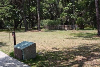
Location. 31° 13.407′ N, 81° 23.368′ W. Marker is on St. Simons Island, Georgia, in Glynn County. Marker can be reached from Frederica Drive. At Fort Frederica, west side of Visitor Center. Touch for map. Marker is in this post office area: Saint Simons Island GA 31522, United States of America. Touch for directions.
Other nearby markers. At least 8 other markers are within walking distance of this marker. Strong Walls From Refuse (a few steps from this marker); The World Is My Parish (within shouting distance of this marker); The Defender (within shouting distance of this marker); Broad Street (within shouting distance of this marker); The Town Wall (within shouting distance of this marker); Frederica (within shouting distance of this marker); Frederica - Old Burial Ground (within shouting distance of this marker); The Flesh Market (about 300 feet away, measured in a direct line). Touch for a list and map of all markers in St. Simons Island.
Also see . . .
1. Fort Frederica. Starting in 1947, the National Park Service and the Fort Frederica Association sponsored a series of archeological investigations at the Frederica site. (Submitted on May 13, 2009, by Mike Stroud of Bluffton, South Carolina.)
2. Fort Frederica National Monument - St. Simons Island, Georgia. Oglethorpe's Defense of Georgia (Submitted on May 9, 2011, by Mike Stroud of Bluffton, South Carolina.)
Credits. This page was last revised on April 8, 2022. It was originally submitted on May 13, 2009, by Mike Stroud of Bluffton, South Carolina. This page has been viewed 1,222 times since then and 40 times this year. Photos: 1. submitted on April 8, 2022, by J. Makali Bruton of Accra, Ghana. 2, 3, 4, 5. submitted on May 13, 2009, by Mike Stroud of Bluffton, South Carolina. • Craig Swain was the editor who published this page.


