Near Deer River in Itasca County, Minnesota — The American Midwest (Upper Plains)
Upper Mississippi River Headwaters Project
Lake Winnibigoshish Dam and Reservoir
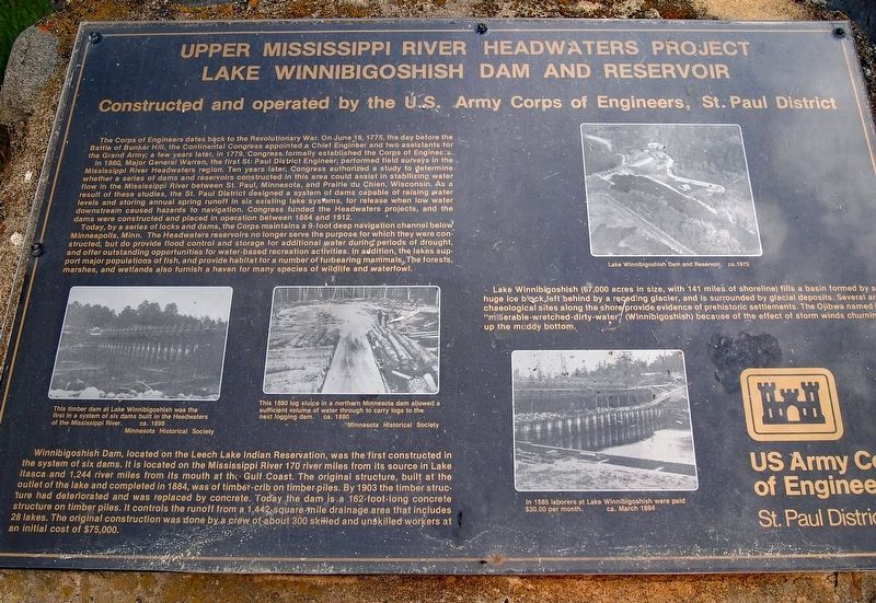
— Constructed and operated by the U.S. Army Corps of Engineers, St. Paul District —
In 1860, Major General Warren, the first St. Paul District Engineer, performed field surveys in the Mississippi River Headwaters region. Ten years later, Congress authorized a study to determine whether a series of dams and reservoirs constructed in this area could assist in stabilizing water flow in the Mississippi River between St. Paul, Minnesota, and Prairie du Chien, Wisconsin. As a result of these studies, the St. Paul District designed a system of dams capable of raising water levels and storing annual spring runoff in six existing lake systems, for release when low water downstream caused hazards to navigation. Congress funded the Headwaters projects, and the dams were constructed and placed in operation between 1884 and 1912.
Today, by a series of locks and dams, the Corps maintains a 9-foot deep navigation channel below Minneapolis, Minn. The Headwaters reservoirs no longer serve the purpose for which they were constructed, but do provide flood control and storage for additional water during periods of drought, and offer outstanding opportunities for water-based recreation activities. In addition, the lakes support major populations of fish, and provide habitat for a number of furbearing mammals. The forests, marshes, and wetlands also furnish a haven for many species of wildlife and waterfowl.
Winnibigoshish Dam, located on the Leech Lake Indian Reservation, was the first constructed in the system of six dams. It is located on the Mississippi River 170 river miles from its source in Lake Itasca and 1,244 river miles from its mouth at the Gulf Coast. The original structure, built at the outlet of the lake and completed in 1884, was of timber-crib on timber piles. By 1903 the timber structure had deteriorated and was replaced by concrete. Today the dam is a 162-foot-long concrete structure on timber piles. It controls the runoff from a 1,442-square-mile drainage area that includes 28 lakes. The original construction was done by a crew of about 300 skilled and unskilled workers at an initial cost of $75,000.
Lake Winnibigoshish (67,000 acres in size, with 141 miles of shoreline) fills a basin formed by a huge ice block left behind by a receding glacier, and is surrounded by glacial deposits. Several archaeological sites along the shore provide evidence of prehistoric settlements. The Ojibwa named it "miserable-wretched-dirty-water" (Winnibigoshish) because
of the effect of storm winds churning up the muddy bottom.
[Captions:]
This timber dam at Lake Winnibigoshish was the first in a system of six dams built in the Headwaters of the Mississippi River. ca. 1898, Minnesota Historical Society
This 1880 log sluice in a northern Minnesota dam allowed a sufficient volume of water through to carry logs to the next logging dam. ca. 1880, Minnesota Historical Society
Lake Winnibigoshish Dam and Reservoir. ca. 1975
In 1885 laborers at Lake Winnibigoshish were paid $30.00 per month. ca. March 1884
Erected by U.S. Army Corps of Engineers, St. Paul District.
Topics. This historical marker is listed in these topic lists: Parks & Recreational Areas • Waterways & Vessels. A significant historical year for this entry is 1884.
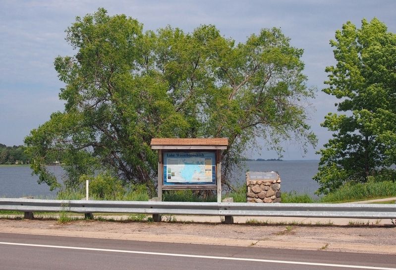
Location. 47° 25.802′ N, 94° 3.046′ W. Marker is near Deer River, Minnesota, in Itasca County. Marker is on County Highway 9, on the right when traveling west. The marker is at the northeast end of the Winnibigoshish Lake Dam. There is a small parking area immediately east of the marker directly off County Highway 9, and a larger public water access lot east of that, down a short access road. Touch for map. Marker is in this post office area: Deer River MN 56636, United States of America. Touch for directions.
Other nearby markers. At least 1 other marker is within 6 miles of this marker, measured as the crow flies. The Original Cut Foot Sioux Ranger Station (approx. 6 miles away).
Credits. This page was last revised on January 6, 2022. It was originally submitted on December 29, 2021, by McGhiever of Minneapolis, Minnesota. This page has been viewed 119 times since then and 12 times this year. Photos: 1, 2. submitted on December 29, 2021, by McGhiever of Minneapolis, Minnesota. • J. Makali Bruton was the editor who published this page.

