Villa del Carbón, Mexico State, Mexico — The Central Highlands (North America)
Hidalgo Plaza and Los Portales
Herencia Otomí
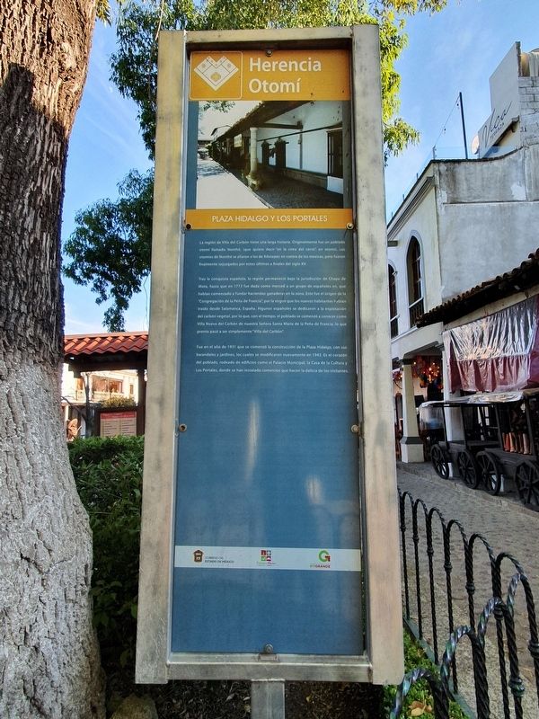
La región de Villa del Carbón tiene una larga historia. Originalmente fue un poblado otomí llamado Nonthé, (que quiere decir “en la cima del cerro”, en otomí). Los otomíes de Nonthé se aliaron a los de Xilotepec en contra de los mexicas, pero fueron finalmente sojuzgados por estos últimos a finales del siglo XV.
Tras la conquista española, la región permaneció bajo la jurisdicción de Chapa de Mota, hasta que en 1713 fue dada como merced a un grupo de españoles en que habían comenzado a fundar haciendas ganaderas en la zona. Este fue el origen de la “Congregación de la Peña de Francia”, por la virgen que los nuevos habitantes habían traido desde Salamanca, España. Algunos españoles se dedicaron a la explotación del carbón vegetal, por lo que, con el tiempo, el poblado se comenzó a conocer como Villa Nueva del Carbón de nuestra Señora Santa María de la Peña de la Francia, lo que pronto pasó a ser simplemente “Villa del Carbón”.
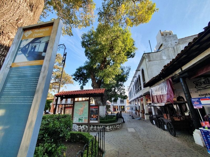
Fue en año de 1931 que se comenzó la construcción de la Plaza Hidalgo, con sus barandales y jardines, los cuales se modificaron nuevamente en 1943. Es el corazón del poblado, rodeado de edificios como el Palacio Municipal, la Casa de Cultura y Los Portales, donde se han instalado comercios que hacen la delicia de los visitantes.
Hidalgo Plaza and Los Portales
The region of Villa del Carbón has a long history. It was originally an Otomí village called Nonthé, (it means "on top of the hill", in Otomí). The Otomí people of Nonthé allied to those of Xilotepec against the Mexicas, but were finally subdued by the latter in the late XVth century.
After the Spanish conquest, the region remained under the jurisdiction of Chapa de Mota, until in 1713 it was given as a grant to a group of Spaniards, who had begun to form cattle haciendas in the area. This was the origin of the "Congregation de la Peña de Francia", for the virgin that the new inhabitants had brought from Salamanca, Spain. Some Spaniards were dedicated to the exploitation of charcoal, so that, over time, the town began to be known as Villa Nueva del Carbón de Nuestra Señora Santa María de la Peña de la Francia, which soon became simply "Villa del Carbón".
It was in 1931 that construction began with its railings and gardens, which were amended again in 1943. It is the heart of the village, surrounded by buildings such as the Palacio Municipal, Casa de la Cultura and Los Portales, where shops were installed
that delight visitors.
Erected by Gobierno del Estado de México.
Topics. This historical marker is listed in these topic lists: Colonial Era • Industry & Commerce • Settlements & Settlers. A significant historical year for this entry is 1713.
Location. 19° 43.674′ N, 99° 27.845′ W. Marker is in Villa del Carbón, Estado de Mexico (Mexico State). Marker is at the intersection of Calle Silviano Enríquez and Callejón de las Bugambilias, on the left when traveling west on Calle Silviano Enríquez. Touch for map. Marker is in this post office area: Villa del Carbón MEX 54300, Mexico. Touch for directions.
Other nearby markers. At least 8 other markers are within 14 kilometers of this marker, measured as the crow flies. Bicentennial Tree (within shouting distance of this marker); Old City Hall (within shouting distance of this marker); Constituent Congress of 1856-1857 (about 90 meters away, measured in a direct line); Church of the Virgen de la Peña de Francia (about 120 meters away); Children Heroes Memorial (approx. 11.6 kilometers away); Church of San Miguel Arcángel (approx. 11.7 kilometers away); Sierra of Tepotzotlán (approx. 13.2 kilometers away); The Aqueduct of Xalpa (approx. 13.4 kilometers away). Touch for a list and map of all markers in Villa del Carbón.
Credits. This page was last revised on December 30, 2021. It was originally submitted on December 30, 2021, by J. Makali Bruton of Accra, Ghana. This page has been viewed 73 times since then and 6 times this year. Photos: 1, 2, 3. submitted on December 30, 2021, by J. Makali Bruton of Accra, Ghana.


