Havre de Grace in Harford County, Maryland — The American Northeast (Mid-Atlantic)
Toll House & Tidewater Canal

Photographed by Carl Gordon Moore Jr., December 30, 2021
1. Toll House & Tidewater Canal Marker
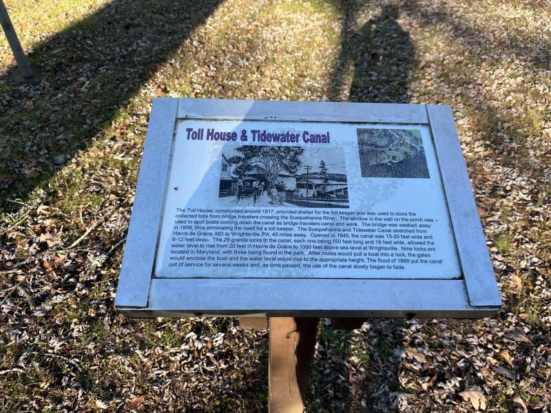
The Toll House, constructed around 1817, provided shelter for the toll keeper and was used to store the collected tolls from bridge travelers crossing the Susquehanna River. The window in the wall on the porch was used to spot boats coming down the canal as bridge travelers came and went. The bridge was washed away in 1856, thus eliminating the need for a toll keeper. The Susquehanna and Tidewater Canal stretched from Havre de Grace, MD to Wrightsville, PA, 45 miles away. Opened in 1840, the canal was 15-20 feet wide and 6-12 feet deep. The 29 granite locks in the canal, each one being 150 feet long and 18 feet wide, allowed the water level to rise from 20 feet in Havre de Grace to 1000 feet above sea level at Wrightsville. Nine locks are located in Maryland, with three being found in the park. After mules would pull a boat into a lock, the gates would enclose the boat and the water level would rise to the appropriate height. The flood of 1889 put the canal out of service for several weeks and, as time passed, the use of the canal slowly began to fade.
Topics and series. This historical marker is listed in these
this page online
Location. 39° 36.501′ N, 76° 8.593′ W. Marker is in Havre de Grace, Maryland, in Harford County. It is at the intersection of Rock Run Road and Stafford Road, on the right when traveling east on Rock Run Road. Touch for map. Marker is in this post office area: Havre de Grace MD 21078, United States of America. Touch for directions.

Regionally, this marker is in the Baltimore Metro Region and in Central Maryland. It is also in the American Mid-Atlantic, in the Chesapeake Bay Region, and on the Eastern Seaboard. Globally, it is in the North Atlantic Region, North America, the Western Hemisphere, the Western World, and the Anglosphere. Historically, it finds itself in what was once one of the original Thirteen Colonies and also the Antebellum South.
Other nearby markers. At least 8 other markers are within walking distance of this marker: Rock Run Landing (here, next to this marker); Tollhouse and Covered Bridge at Rock Run (within shouting
Photographed by Adam Margolis, January 9, 2023
2. Toll House & Tidewater Canal Marker

Photographed by Carl Gordon Moore Jr., December 30, 2021
3. Toll House & Tidewater Canal Marker
The Rock Run Landing Marker is visible in the background, along with the intersection of Rock Run Road at Stafford Road.
Photographed by Adam Margolis, January 9, 2023
4. Toll House & Tidewater Canal Marker
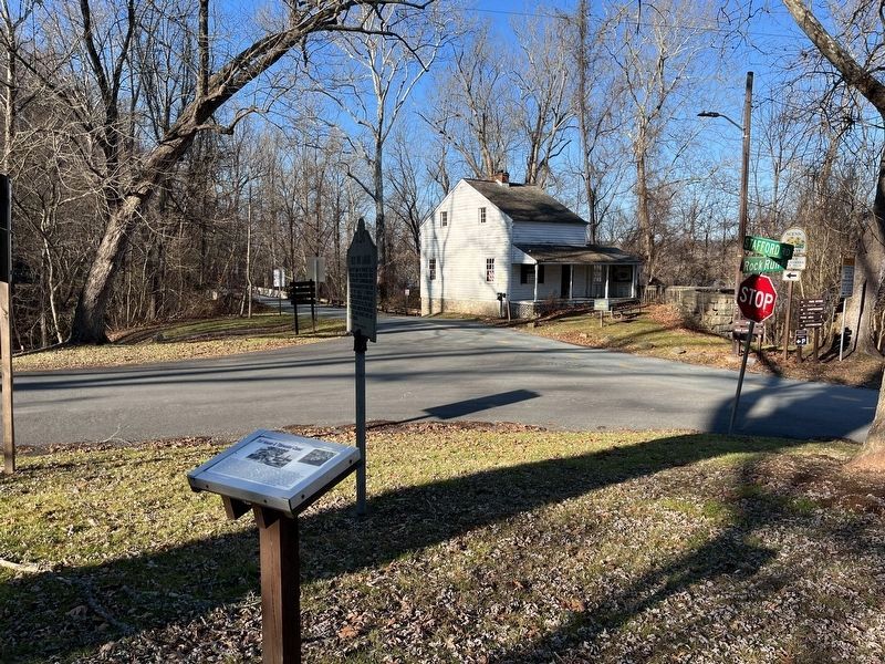
The Toll House can be seen in the background across the street.
Credits. This page was last revised on January 24, 2023. It was originally submitted on December 31, 2021, by Carl Gordon Moore Jr. of North East, Maryland. This page has been viewed 373 times since then and 24 times this year. Photos: 1. submitted on December 31, 2021, by Carl Gordon Moore Jr. of North East, Maryland. 2. submitted on January 13, 2023, by Adam Margolis of Mission Viejo, California. 3. submitted on January 1, 2022, by Carl Gordon Moore Jr. of North East, Maryland. 4. submitted on January 13, 2023, by Adam Margolis of Mission Viejo, California. • J. Makali Bruton was the editor who published this page.
