Near Mechanicsville in Hanover County, Virginia — The American South (Mid-Atlantic)
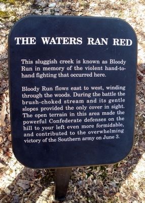
The Waters Ran Red
Photographed by Bernard Fisher, March 9, 2009
1. The Waters Ran Red Marker
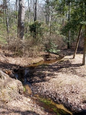
Bloody Run flows east to west, winding through the woods. During the battle the brush-choked stream and its gentle slopes provided the only cover in sight. The open terrain in this area made the powerful Confederate defenses on the hill to your left even more formidable, and contributed to the overwhelming victory of the Southern army on June 3.
Erected by National Park Service.
Topics. This historical marker is listed in this topic list: War, US Civil. A significant historical date for this entry is June 3, 1864.
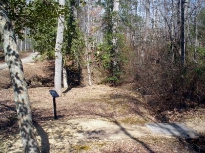
Location. 37° 35.331′ N, 77° 17.259′ W. Marker is near Mechanicsville, Virginia, in Hanover County. It can be reached from the intersection of Anderson-Wright Drive and Cold Harbor Road (Virginia Route 156). This marker is located along the walking trail in the Cold Harbor Battlefield Unit of the Richmond National Battlefield Park. Touch for map. Marker is at or near this postal address: 5515 Anderson-Wright Drive, Mechanicsville VA 23111, United States of America. Touch for directions.

Regionally, this
this page online
Other nearby markers. At least 8 other markers are within walking distance of this marker: Bayonets Are For Digging (about 400 feet away, measured in a direct line); Those People Stand No Chance (about 500 feet away); Nowhere To Go (about 600 feet away); A Lethal Occupation (about 600 feet away); A Deadly Delay (about 700 feet away); Confederate Breastworks (about 700 feet away); The Ultimate Sacrifice (about 700 feet away); Confederate Position (about 800 feet away). Touch for a list and map of all markers in Mechanicsville.
Also see . . . Richmond National Battlefield Park. Cold Harbor (Submitted on March 8, 2009, by Bernard Fisher of Richmond, Virginia.)
Photographed by Bernard Fisher, March 9, 2009
2. Cold Harbor Walking Trail
Photographed by Bernard Fisher, March 9, 2009
3. Bloody Run
Photographed by Bernard Fisher, March 9, 2009
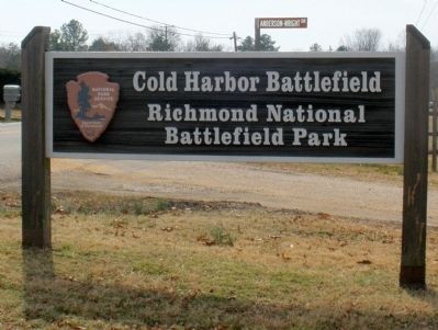
4. Cold Harbor Battlefield
Credits. This page was last revised on January 2, 2022. It was originally submitted on March 8, 2009, by Bernard Fisher of Richmond, Virginia. This page has been viewed 1,560 times since then and 50 times this year. Last updated on January 1, 2022, by Bradley Owen of Morgantown, West Virginia. Photos: 1, 2, 3, 4. submitted on March 8, 2009, by Bernard Fisher of Richmond, Virginia.
